国立情報学研究所 - ディジタル・シルクロード・プロジェクト
| |||||||||
|
| Explorations in Turkestan 1903 : vol.1 | |
| トルキスタンの調査 1903年 : vol.1 |
 |
| 氷堆積を横断するアライ渓谷の断面Section of Alai Valley Transverse Moraine. | |
| “2つ谷がある”渓谷の典型的な断面Ideal section of a "twice-troughed" valley. |
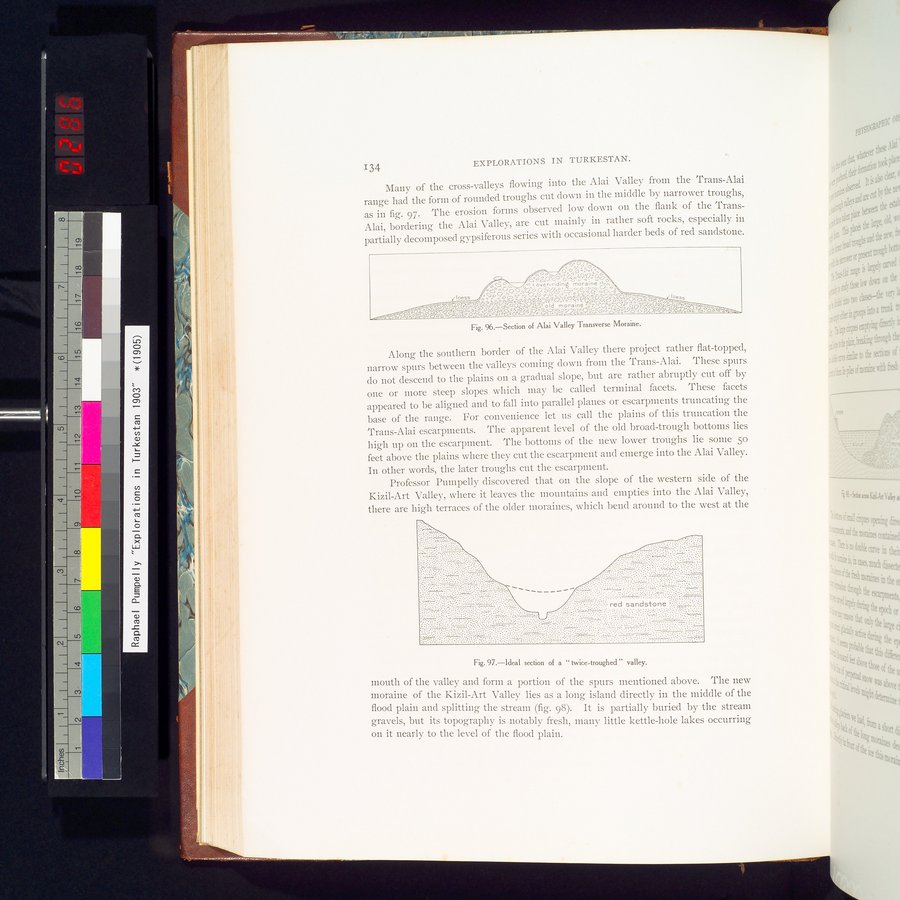
134 EXPLORATIONS IN TURKESTAN.
Many of the cross-valleys flowing into the Alai Valley from the Trans-Alai range had the form of rounded troughs cut down in the middle by narrower troughs, as in fig. 97. The erosion forms observed low down on the flank of the Trans-Alai, bordering the Alai Valley, are cut mainly in rather soft rocks, especially in partially decomposed gypsiferous series with occasional harder beds of red sandstone.
Fig. 96.—Section of Alai Valley Transverse Moraine.
Along the southern border of the Alai Valley there project rather flat-topped, narrow spurs between the valleys coining down from the Trans-Alai. These spurs do not descend to the plains on a gradual slope, but are rather abruptly cut off by one or more steep slopes which may be called terminal facets. These facets appeared to be aligned and to fall into parallel planes or escarpments truncating the base of the range. For convenience let us call the plains of this truncation the Trans-Alai escarpments. The apparent level of the old broad-trough bottoms lies high up on the escarpment. The bottoms of the new lower troughs lie some 5o feet above the plains where they cut the escarpment and emerge into the Alai Valley. In other words, the later troughs cut the escarpment.
Professor Puinpelly discovered that on the slope of the western side of the Kizil-Art Valley, where it leaves the mountains and empties into the Alai Valley, there are high terraces of the older moraines, which bend around to the west at the
Fig. 97.—Ideal section of a " twice-troughed " valley.
mouth of the valley and form a portion of the spurs mentioned above. The new moraine of the Kizil-Art Valley lies as a long island directly in the middle of the flood plain and splitting the stream (fig. 98). It is partially buried by the stream gravels, but its topography is notably fresh, many little kettle-hole lakes occurring on it nearly to the level of the flood plain.
|
Copyright (C) 2003-2019
National Institute of Informatics(国立情報学研究所)
and
The Toyo Bunko(東洋文庫). All Rights Reserved.
本ウェブサイトに掲載するデジタル文化資源の無断転載は固くお断りいたします。