国立情報学研究所 - ディジタル・シルクロード・プロジェクト
| |||||||||
|
| Explorations in Turkestan 1903 : vol.1 | |
| トルキスタンの調査 1903年 : vol.1 |
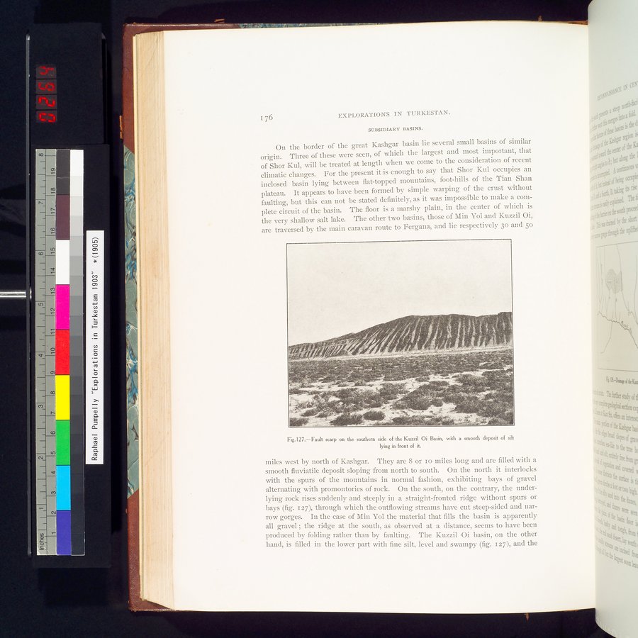 |
| クジルオイ盆地の南側に急な断層があり、その前には滑らかなシルトが堆積しているFault scarp on the southern side of the Kuzzil Oi Basin, with a smooth deposit of silt lying in front of it. |
176 EXPLORATIONS IN TURKESTAN.
SUBSIDIARY BASINS.
On the border of the great Kashgar basin lie several small basins of similar
origin. Three of these were seen, of which the largest and most important, that 11
of Shor Kul, will be treated at length when we come to the consideration of recent 0
climatic changes. For the present it is enough to say that Shor Kul occupies an inclosed basin lying between flat-topped mountains, foot-hills of the Tian Shan plateau. It appears to have been formed by simple warping of the crust without faulting, but this can not be stated definitely, as it was impossible to make a complete circuit of the basin. The floor is a marshy plain, in the center of which is the very shallow salt lake. The other two basins, those of Min Yol and Kuzzil Oi, are traversed by the main caravan route to Fergana, and lie respectively 30 and 5o
Fig.127.—Fault scarp on the southern side of the Kuzzil Oi Basin, with a smooth deposit of silt
lying in front of it.
miles west by north of Kashgar. They are 8 or io miles long and are filled with a smooth fluviatile deposit sloping from north to south. On the north it interlocks with the spurs of the mountains in normal fashion, exhibiting bays of gravel alternating with promontories of rock. On the south, on the contrary, the underlying rock rises suddenly and steeply in a straight-fronted ridge without spurs or bays (fig. 127), through which the outflowing streams have cut steep-sided and narrow gorges. In the case of Min Yol the material that fills the basin is apparently all gravel ; the ridge at the south, as observed at a distance, seems to have been produced by folding rather than by faulting. The Kuzzil Oi basin, on the other hand, is filled in the lower part with fine silt, level and swampy (fig. 127), and the
|
Copyright (C) 2003-2019
National Institute of Informatics(国立情報学研究所)
and
The Toyo Bunko(東洋文庫). All Rights Reserved.
本ウェブサイトに掲載するデジタル文化資源の無断転載は固くお断りいたします。