National Institute of Informatics - Digital Silk Road Project
| |||||||||
|
| Explorations in Turkestan : Expedition of 1904 : vol.2 |
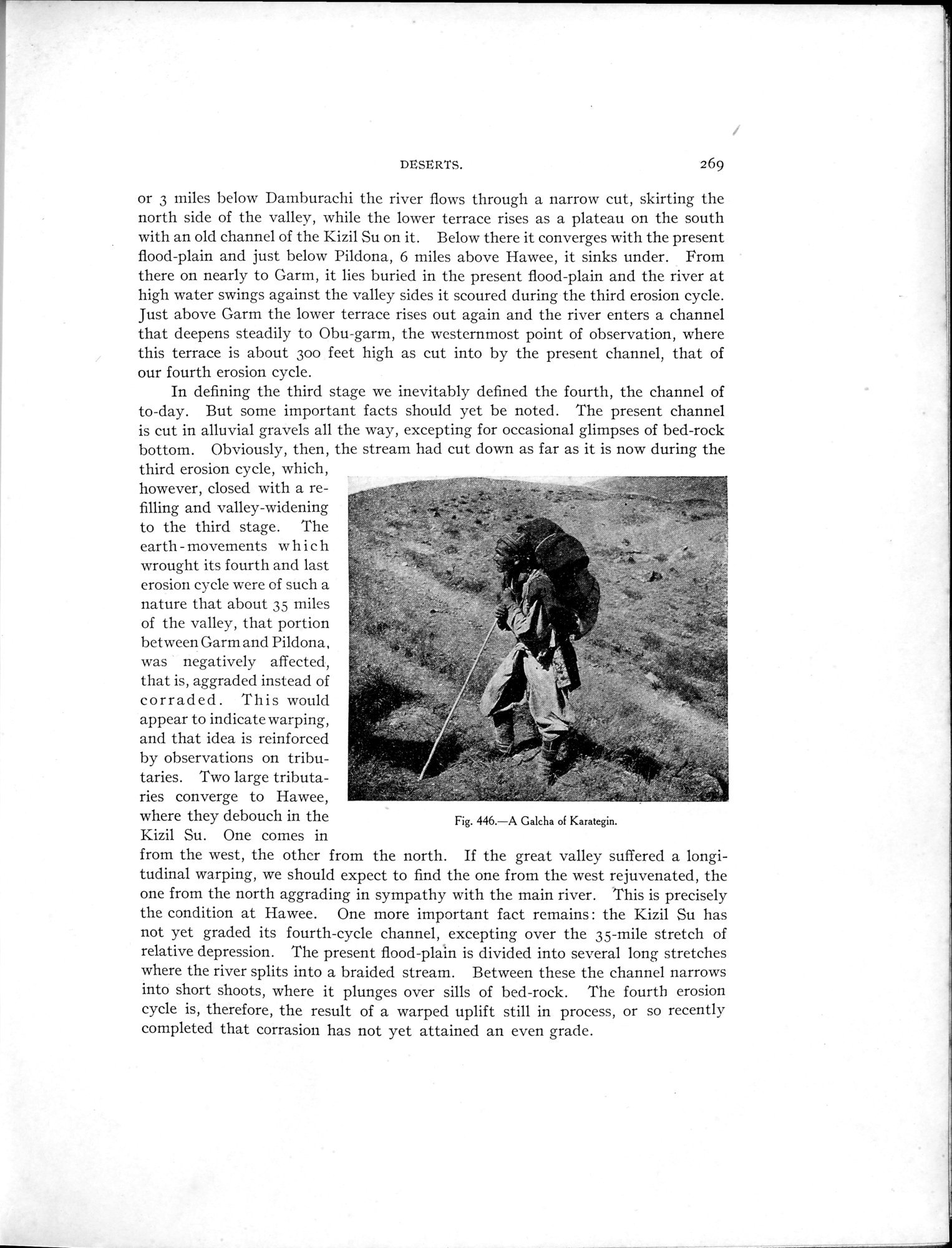 |
| A Galcha of Karategin. |
DESERTS. 269
or 3 miles below Damburachi the river flows through a narrow cut, skirting the north side of the valley, while the lower terrace rises as a plateau on the south with an old channel of the Kizil Su on it. Below there it converges with the present flood-plain and just below Pildona, 6 miles above Hawee, it sinks under. From there on nearly to Garm, it lies buried in the present flood-plain and the river at high water swings against the valley sides it scoured during the third erosion cycle. Just above Garm the lower terrace rises out again and the river enters a channel that deepens steadily to Obu-garm, the westernmost point of observation, where this terrace is about 30o feet high as cut into by the present channel, that of our fourth erosion cycle.
In defining the third stage we inevitably defined the fourth, the channel of to-day. But some important facts should yet be noted. The present channel is cut in alluvial gravels all the way, excepting for occasional glimpses of bed-rock bottom. Obviously, then, the stream had cut down as far as it is now during the
third erosion cycle, which,
however, closed with a re-
filling and valley-widening
to the third stage. The earth - movements which
wrought its fourth and last
erosion cycle were of such a s
nature that about 35 miles of the valley, that portion
between Garm and Pildona,
was negatively affected,
that is, aggraded instead of corraded. This would appear to indicate warping,
and that idea is reinforced
by observations on tribu-
taries. Two large tributa-
ries converge to Hawee,
where they debouch in the
Kizil Su. One comes in
from the west, the other from the north. If the great valley suffered a longitudinal warping, we should expect to find the one from the west rejuvenated, the one from the north aggrading in sympathy with the main river. This is precisely the condition at Hawee. One more important fact remains : the Kizil Su has not yet graded its fourth-cycle channel, excepting over the 35-mile stretch of relative depression. The present flood-plain is divided into several long stretches where the river splits into a braided stream. Between these the channel narrows into short shoots, where it plunges over sills of bed-rock. The fourth erosion cycle is, therefore, the result of a warped uplift still in process, or so recently completed that corrasion has not yet attained an even grade.
Fig. 446.—A Galcha of Karategin.
|
Copyright (C) 2003-2019 National Institute of Informatics and The Toyo Bunko. All Rights Reserved.