National Institute of Informatics - Digital Silk Road Project
| |||||||||
|
| Explorations in Turkestan : Expedition of 1904 : vol.2 |
 |
| A Peak South of the Zerafshan Glacier. |
276 PHYSIOGRAPHY OF CENTRAI.-ASIAN DESERTS AND OASES.
of Central Asia's valley terraces have resulted from widespread cycles of uplift, in some parts locally interrupted, and that just such a variable glaciology would arise from a differential uplift.
THE ZERAFSHAN AS A LONGITUDINAL VALLEY.
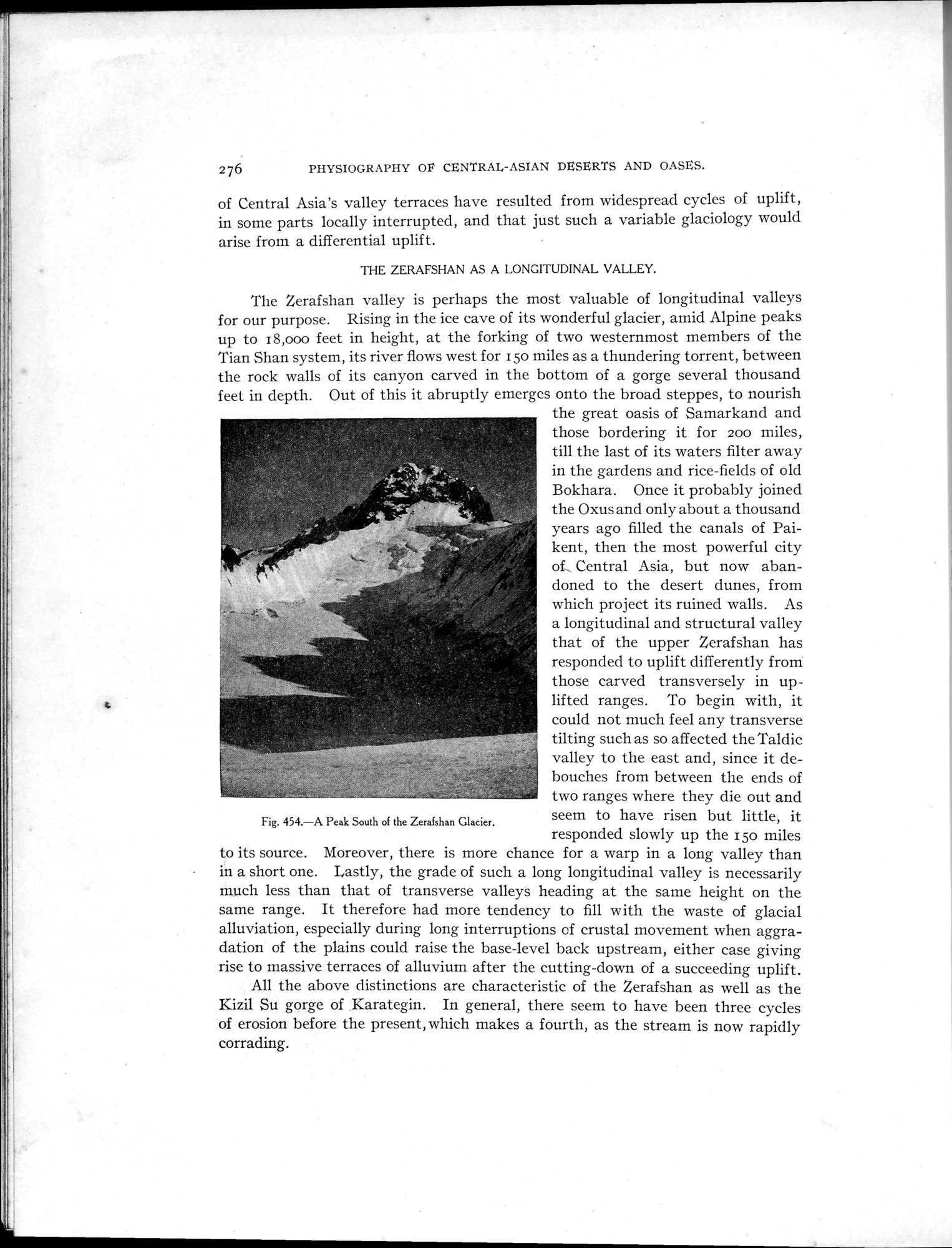
The Zerafshan valley is perhaps the most valuable of longitudinal valleys
for our purpose. Rising in the ice cave of its wonderful glacier, amid Alpine peaks
up to 18,000 feet in height, at the forking of two westernmost members of the
Tian Shan system, its river flows west for 150 miles as a thundering torrent, between
the rock walls of its canyon carved in the bottom of a gorge several thousand
feet in depth. Out of this it abruptly emerges onto the broad steppes, to nourish
the great oasis of Samarkand and those bordering it for 200 miles, till the last of its waters filter away in the gardens and rice-fields of old Bokhara. Once it probably joined the Oxus and only about a thousand years ago filled the canals of Paikent, then the most powerful city of_ Central Asia, but now abandoned to the desert dunes, from which project its ruined walls. As a longitudinal and structural valley that of the upper Zerafshan has responded to uplift differently from those carved transversely in uplifted ranges. To begin with, it could not much feel any transverse tilting such as so affected the Taldic valley to the east and, since it de-bouches from between the ends of two ranges where they die out and seem to have risen but little, it responded slowly up the 150 miles
to its source. Moreover, there is more chance for a warp in a long valley than
in a short one. Lastly, the grade of such a long longitudinal valley is necessarily much less than that of transverse valleys heading at the same height on the same range. It therefore had more tendency to fill with the waste of glacial alluviation, especially during long interruptions of crustal movement when aggradation of the plains could raise the base-level back upstream, either case giving rise to massive terraces of alluvium after the cutting-down of a succeeding uplift. All the above distinctions are characteristic of the Zerafshan as well as the Kizil Su gorge of Karategin. In general, there seem to have been three cycles of erosion before the present, which makes a fourth, as the stream is now rapidly corrading.
Fig. 454.—A Peak South of the Zerafshan Glacier.
|
Copyright (C) 2003-2019 National Institute of Informatics and The Toyo Bunko. All Rights Reserved.