National Institute of Informatics - Digital Silk Road Project
| |||||||||
|
| Explorations in Turkestan : Expedition of 1904 : vol.2 |
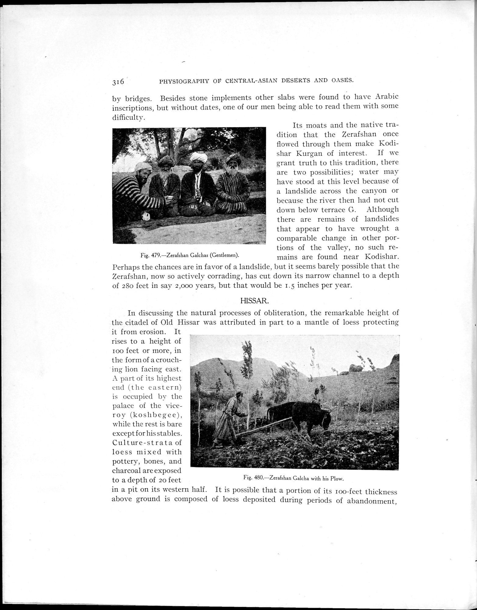 |
| Zerafshan Galchas (Gentlemen). | |
| Zerafshan Galcha with his Plow. |
3 I 6 PHYSIOGRAPHY OP CENTRAL-ASIAN DESERTS AND OASES.
by bridges. Besides stone implements other slabs were found to have Arabic inscriptions, but without dates, one of our men being able to read them with some difficulty.
Its moats and the native tradition that the Zerafshan once flowed through them make Kodishar Kurgan of interest. If we grant truth to this tradition, there are two possibilities; water may have stood at this level because of a landslide across the canyon or because the river then had not cut down below terrace G. Although there are remains of landslides that appear to have wrought a comparable change in other por- tions of the valley, no such re-
Fig. 479. Zerafshan Galchas (Gentlemen). mains are found near Kodishar.
Perhaps the chances are in favor of a landslide, but it seems barely possible that the Zerafshan, now so actively corrading, has cut down its narrow channel to a depth of 28o feet in say 2,000 years, but that would be 1.5 inches per year.
HISSAR.
In discussing the natural processes of obliteration, the remarkable height of the citadel of Old Hissar was attributed in part to a mantle of loess protecting it from erosion. It
rises to a height of .
100 feet or more, in the form of a crouching lion facing east. A part of its highest end (the eastern) is occupied by the palace of the viceroy (kosllbegee), while the rest is bare except for his stables. Culture-strata of loess mixed with pottery, bones, and charcoal are exposed to a depth of 20 feet
in a pit on its western half. It is possible that a portion of its loo-feet thickness above ground is composed of loess deposited during periods of abandonment,
Fig. 480. Zerafshan Galcha with his Plow.
|
Copyright (C) 2003-2019 National Institute of Informatics and The Toyo Bunko. All Rights Reserved.