National Institute of Informatics - Digital Silk Road Project
Digital Archive of Toyo Bunko Rare Books
|
|
Color Thumbnail -
Table of Contents -
Page Number -
Biliographic Information (Metadata) -
Caption -
Color Image -
Gray HighRes. Image -
Facing Pages -
Graphics -
| 0243 |
Memoir on Maps of Chinese Turkistan and Kansu : vol.1 |
Captions
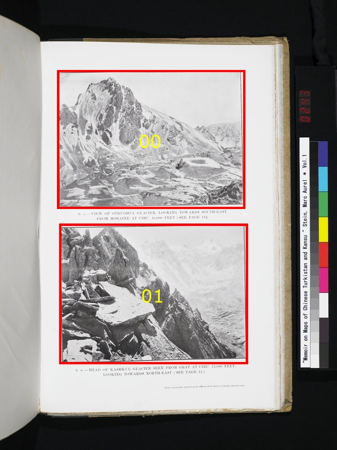
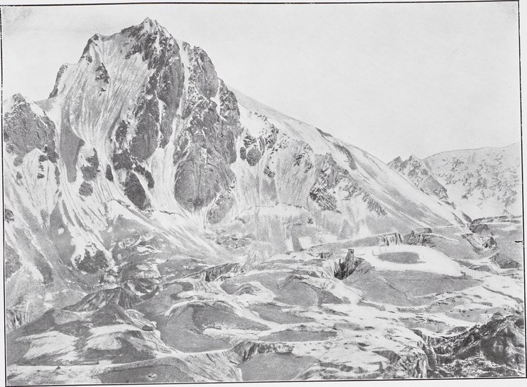
| [Photo] 6. A. |
VIEW OF OTRUGHUL GLACIER, LOOKING TOWARDS SOUTH-EAST FROM MORAINE AT CIRC. 16,000 FEET (SEE PAGE 12). |
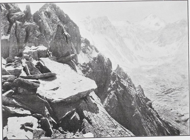
| [Photo] 6. B. |
HEAD OF KASHKUL GLACIER SEEN FROM GRAT AT CIRC. 15,000 FEET, LOOKING TOWARDS NOTH-EAST (SEE PAGE 12). |
 Citation Information
1
.
.
.
.
|
.
.
239
241
243
245
247
.
.
|
.
.
.
.
263
.
.
.
.
|
.
.
.
.
283
.
.
.
291
Copyright (C) 2003-2019
National Institute of Informatics
and
The Toyo Bunko. All Rights Reserved.