National Institute of Informatics - Digital Silk Road Project
Digital Archive of Toyo Bunko Rare Books
|
|
Color Thumbnail -
Table of Contents -
Page Number -
Biliographic Information (Metadata) -
Caption -
Color Image -
Gray HighRes. Image -
Facing Pages -
Graphics -
| 0271 |
Memoir on Maps of Chinese Turkistan and Kansu : vol.1 |
Captions
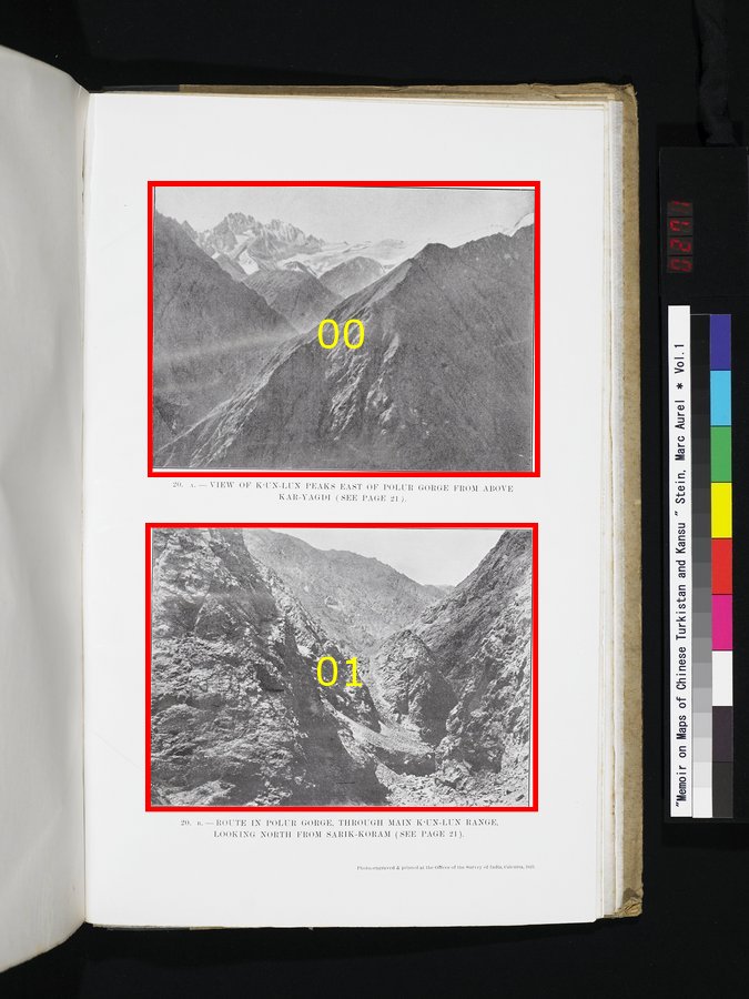
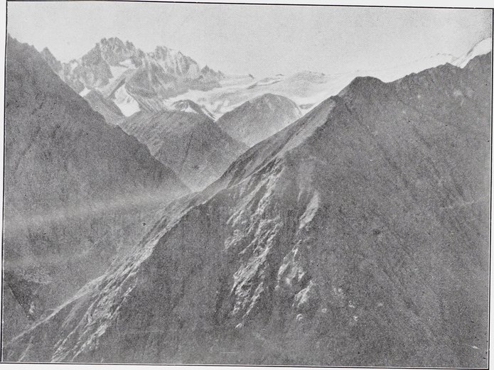
| [Photo] 20. A. |
VIEW OF K‘UN-LUN PEAKS EAST OF POLUR GORGE FROM ABOVE KAR-YAGDI (SEE PAGE 21). |
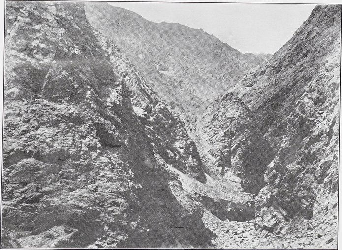
| [Photo] 20. B. |
ROUTE IN POLUR GORGE, THROUGH MAIN K‘UN-LUN RANGE, LOOKING NORTH FROM SARIK-KORAM (SEE PAGE 21). |
 Citation Information
1
.
.
.
.
|
.
.
.
.
243
.
.
.
.
|
.
.
.
.
263
.
267
269
271
273
275
.
.
.
283
.
.
.
291
Copyright (C) 2003-2019
National Institute of Informatics
and
The Toyo Bunko. All Rights Reserved.