National Institute of Informatics - Digital Silk Road Project
| |||||||||
|
| Memoir on Maps of Chinese Turkistan and Kansu : vol.1 |
 |
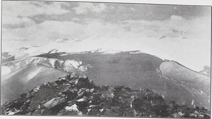
| GLACIER-CROWNED K‘UN-LUN RANGE ABOVE YURUNG-KASH R. SOURCES, LOOKING SOUTH FROM FIXING ABOVE CHIGELIK-CHAP, 17,400 Ft. (SEE PAGE 21). | |
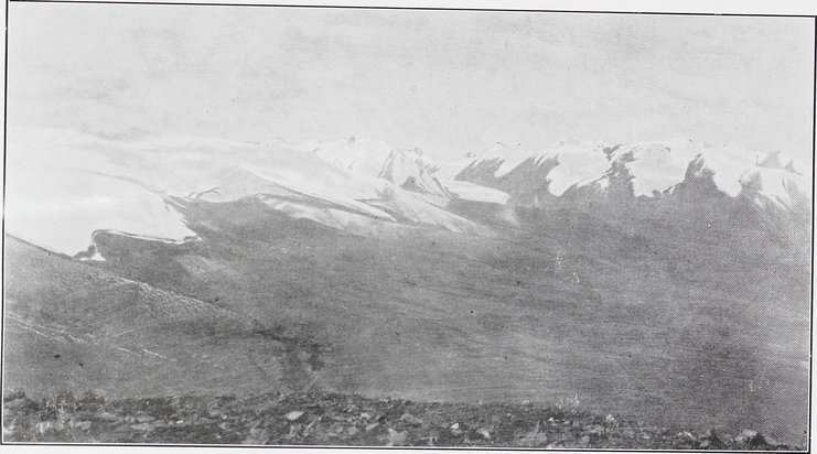
| GLACIER-CROWNED K‘UN-LUN RANGE ABOVE YURUNG-KASH R. SOURCES, LOOKING SSW. FROM FIXING ABOVE CHIGELIK-CHAP, 17,400 Ft. (SEE PAGE 21). | |
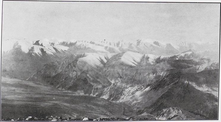
| GLACIER-CROWNED K‘UN-LUN RANGE ABOVE YURUNG-KASH R. SOURCES, LOOKING SW. FROM FIXING ABOVE CHIGELIK-CHAP, 17,400 Ft. (SEE ABOVE PAGE 21). |
|
Copyright (C) 2003-2019 National Institute of Informatics and The Toyo Bunko. All Rights Reserved.