National Institute of Informatics - Digital Silk Road Project
| |||||||||
|
| Memoir on Maps of Chinese Turkistan and Kansu : vol.1 |
 |
108 APPENDIX A
The accumulation of small errors may become large in the aggregate, and since all resection work from unmarked peaks must introduce uncertainty, it is remarkable that the triangulation described below is in the main so accurate.
At the same time, it is absolutely. necessary to lay stress on the fact that it is in the
nature of pioneer work, and that when the regularly connected triangulation of the Survey of India reaches the areas concerned, the points of Ram Singh and Lâl Singh will be superseded, as has indeed already been the case on the Taghdum-bash Pamir. The fixed points of the systematic work should therefore invariably be used for extensions, wherever possible, even if it should mean a considerable delay in commencing operations. These points are shown in the tables under class A.
As will be seen from what follows, section (I) is disconnected entirely from the rest of
the work and is dependent on a single observation of Cecil Clementi. The work of the latter, where it has been capable.of check, has been found generally accurate, but should the value of Korla be subsequently revised, it will be possible to convert the whole of this section bodily into the new terms.
In the accompanying lists, the Survey of India method of classification has been.adopted, points and stations have been grouped by degree areas, and peaks Method of classification have been given formal "peak numbers" which bear no relation to those
of peaks, Sec. in the original angle-books. Points fixed with a higher order of accu-
racy are listed under class A, while those derived from explorers' reconnaissance triangulation are shown under class B.
(A)—ON THE TAGHDUM-BASH PAMIR, 1900-01 (RIM SINGE)
Ram Singh's work was entirely based on resection from three peaks of Captain H.H.P. Deasy's triangulation in 1897-99. Since these pioneer operations were executed, the Taghdumbash has been covered with a net-work of triangles, observed with greater accuracy during the Indo-Russian Link, rigidly connected with the G. T. work of India, and adjusted to Indian terms on the Everest spheroid.
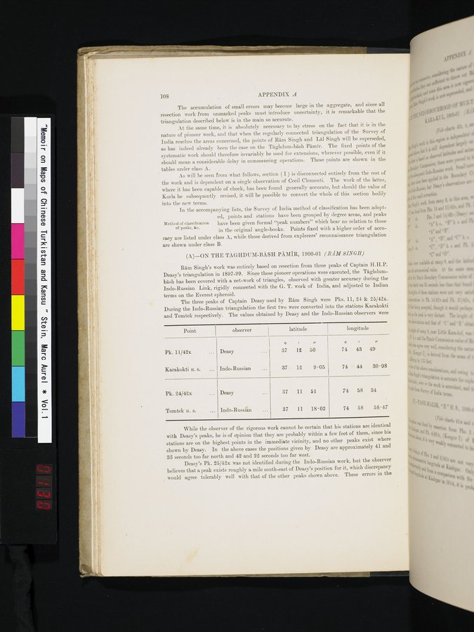
The three peaks of Captain Deasy used by Ram Singh were Pks. 11, 24 & 25/42x. During the Indo-Russian triangulation the first two were converted into the stations Karakokti and Tomtek respectively. The values obtained by Deasy and the Indo-Russian observers were
| Point I observer |
| latitude |
| longitude |
| ||
|
|
| o | , | ,, | o |
| ,, |
| Pk. 11/42x ... | Deasy ... | 37 | 12 | 50 | 74 | 43 | 49 |
| Karakokti H. s. ... | Indo-Russian ... | 37 | 12 | 9.05 | 74 | 44 | 30.98 |
| Pk. 24/42K ... | Deasy ... | 37 | 11 | 51 | 74 | 58 | 34 |
| Tomtek H. S. ... | Indo-Russiân ... | 37 | 11 | 18.02 | 74 | 58 | 58.47 |
While the observer of the rigorous work cannot be certain that his stations are identical with Deasy's peaks, he is of opinion that they are probably within a few feet of them, since his stations are on the highest points in the immediate vicinity, and no other peaks exist where shown by Deasy. In the above cases the positions given by Deasy are approximately 41 and 33 seconds too far north and 42 and 22 seconds too far west.
Deasy's Pk. 25/42x was not identified during the Indo-Russian work, but the observer believes that a peak exists roughly a mile south-east of Deasy's position for it, which discrepancy would agree tolerably well with that of the other peaks shown above. These errors in the
|
Copyright (C) 2003-2019 National Institute of Informatics and The Toyo Bunko. All Rights Reserved.