National Institute of Informatics - Digital Silk Road Project
| |||||||||
|
| Memoir on Maps of Chinese Turkistan and Kansu : vol.1 |
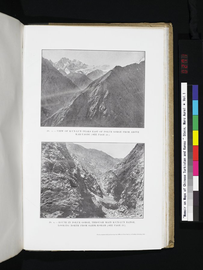 |
| VIEW OF K‘UN-LUN PEAKS EAST OF POLUR GORGE FROM ABOVE KAR-YAGDI (SEE PAGE 21). | |
| ROUTE IN POLUR GORGE, THROUGH MAIN K‘UN-LUN RANGE, LOOKING NORTH FROM SARIK-KORAM (SEE PAGE 21). |
- VIEW OF KTN-1.1"N PEAKS EAST OF POLUR GORGE FROM ABOVE KAR-VAGDI ( SEE PAGE 21 ).
2I1. I:.-ROUTE IN POLUR GORGE, THROUGH MAIN I{'UN-L[:X RANGE, LOOKING NORTH FROM SARI K-KORAM ( SEE PAGE 21 ).
I'I,oto..entrraved & printed at the Offices of the Survey of India, Calcutta, In2$.
|
Copyright (C) 2003-2019 National Institute of Informatics and The Toyo Bunko. All Rights Reserved.