国立情報学研究所 - ディジタル・シルクロード・プロジェクト
| |||||||||
|
| Ruins of Desert Cathay : vol.1 | |
| 中国砂漠地帯の遺跡 : vol.1 |
 |
| 186 TO THE NISSA GLACIERS | CH. XV |
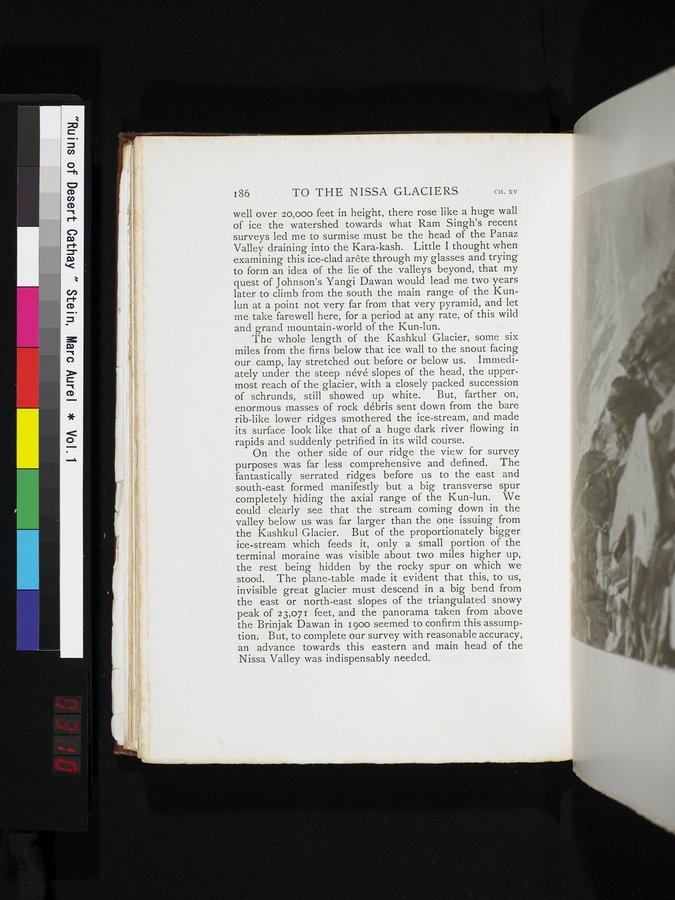
well over 20,000 feet in height, there rose like a huge wall of ice the watershed towards what Ram Singh's recent surveys led me to surmise must be the head of the Panaz Valley draining into the Kara-kash. Little I thought when examining this ice-clad arête through my glasses and trying to form an idea of the lie of the valleys beyond, that my quest of Johnson's Yangi Dawan would lead me two years later to climb from the south the main range of the Kunlun at a point not very far from that very pyramid, and let me take farewell here, for a period at any rate, of this wild and grand mountain-world of the Kun-lun.
The whole length of the Kashkul Glacier, some six miles from the firns below that ice wall to the snout facing our camp, lay stretched out before or below us. Immediately under the steep névé slopes of the head, the uppermost reach of the glacier, with a closely packed succession
of schrunds, still showed up white. But, farther on,
enormous masses of rock débris sent down from the bare rib-like lower ridges smothered the ice-stream, and made its surface look like that of a huge dark river flowing in rapids and suddenly petrified in its wild course.
On the other side of our ridge the view for survey purposes was far less comprehensive and defined. The fantastically serrated ridges before us to the east and south-east formed manifestly but a big transverse spur completely hiding the axial range of the Kun-lun. We could clearly see that the stream coming down in the valley below us was far larger than the one issuing from the Kashkul Glacier. But of the proportionately bigger ice-stream which feeds it, only a small portion of the terminal moraine was visible about two miles higher up, the rest being hidden by the rocky spur on which we stood. The plane-table made it evident that this, to us, invisible great glacier must descend in a big bend from the east or north-east slopes of the triangulated snowy peak of 23,071 feet, and the panorama taken from above the Brinjak Dawan in 1900 seemed to confirm this assumption. But, to complete our survey with reasonable accuracy, an advance towards this eastern and main head of the Nissa Valley was indispensably needed.
|
Copyright (C) 2003-2019
National Institute of Informatics(国立情報学研究所)
and
The Toyo Bunko(東洋文庫). All Rights Reserved.
本ウェブサイトに掲載するデジタル文化資源の無断転載は固くお断りいたします。