国立情報学研究所 - ディジタル・シルクロード・プロジェクト
| |||||||||
|
| Ruins of Desert Cathay : vol.1 | |
| 中国砂漠地帯の遺跡 : vol.1 |
 |
208 KARANGHU-TAGH MOUNTAINS CH. XVII
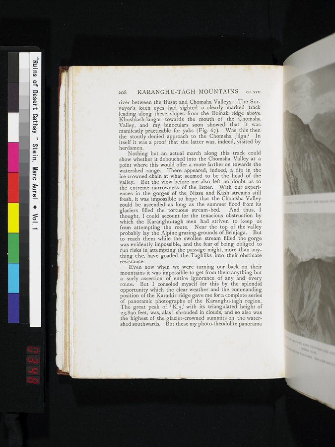
river between the Busat and Chomsha Valleys. The Surveyor's keen eyes had sighted a clearly marked track leading along these slopes from the Boinak ridge above Khushlash-langar towards the mouth of the Chomsha
Valley, and my binoculars soon showed that it was manifestly practicable for yaks (Fig. 67). Was this then the stoutly denied approach to the Chomsha J ilga ? In itself it was a proof that the latter was, indeed, visited by
herdsmen.
Nothing but an actual march along this track could show whether it debouched into the Chomsha Valley at a point where this would offer a route farther on towards the watershed range. There appeared, indeed, a dip in the ice-crowned chain at what seemed to be the head of the valley. But the view before me also left no doubt as to the extreme narrowness of the latter. With our experiences in the gorges of the Nissa and Kash streams still fresh, it was impossible to hope that the Chomsha Valley could be ascended as long as the summer flood from its
glaciers filled the tortuous stream-bed. And thus, I
thought, I could account for the tenacious obstruction by which the Karanghu-tagh men had striven to keep us from attempting the route. Near the top of the valley probably lay the Alpine grazing-grounds of Brinjaga. But to reach them while the swollen stream filled the gorge was evidently impossible, and the fear of being obliged to run risks in attempting the passage might, more than anything else, have goaded the Taghliks into their obstinate resistance.
Even now when we were turning our back on their mountains it was impossible to get from them anything but a surly assertion of entire ignorance of any and every route. But I consoled myself for this by the splendid opportunity which the clear weather and the commanding position of the Kara-kir ridge gave me for a complete series of panoramic photographs of the Karanghu-tagh region. The great peak of ' K.5,' with its triangulated height of 23,890 feet, was, alas ! shrouded in clouds, and so also was the highest of the glacier-crowned summits on the watershed southwards. But these my photo-theodolite panorama
~
~
|
Copyright (C) 2003-2019
National Institute of Informatics(国立情報学研究所)
and
The Toyo Bunko(東洋文庫). All Rights Reserved.
本ウェブサイトに掲載するデジタル文化資源の無断転載は固くお断りいたします。