National Institute of Informatics - Digital Silk Road Project
| |||||||||
|
| Ruins of Desert Cathay : vol.2 |
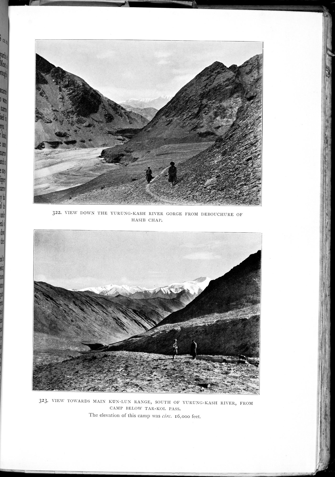 |
| VIEW DOWN THE YURUNG-KASH RIVER GORGE FROM DEBOUCHURE OF HASIB CHAP. | |
| VIEW TOWARDS MAIN KUN-LUN RANGE, SOUTH OF YURUNG-KASH RIVER, FROM CAMP BELOW TAR-KOL PASS. The elevation of this camp was circ. 16,000 feet. |
322. VIEW DOWN THE YURUNG-KASH RIVER GORGE FROM DEBOUCHURE OF
HASIB CHAP.
323. VIEW TOWARDS MAIN KUN-LUN RANGE, SOUTH OF YURUNG-KASH RIVER, FROM
CAMP BELOW TAR-KOL PASS.
The elevation of this camp was circ. 16,000 feet.
|
Copyright (C) 2003-2019 National Institute of Informatics and The Toyo Bunko. All Rights Reserved.