National Institute of Informatics - Digital Silk Road Project
| |||||||||
|
| Ruins of Desert Cathay : vol.2 |
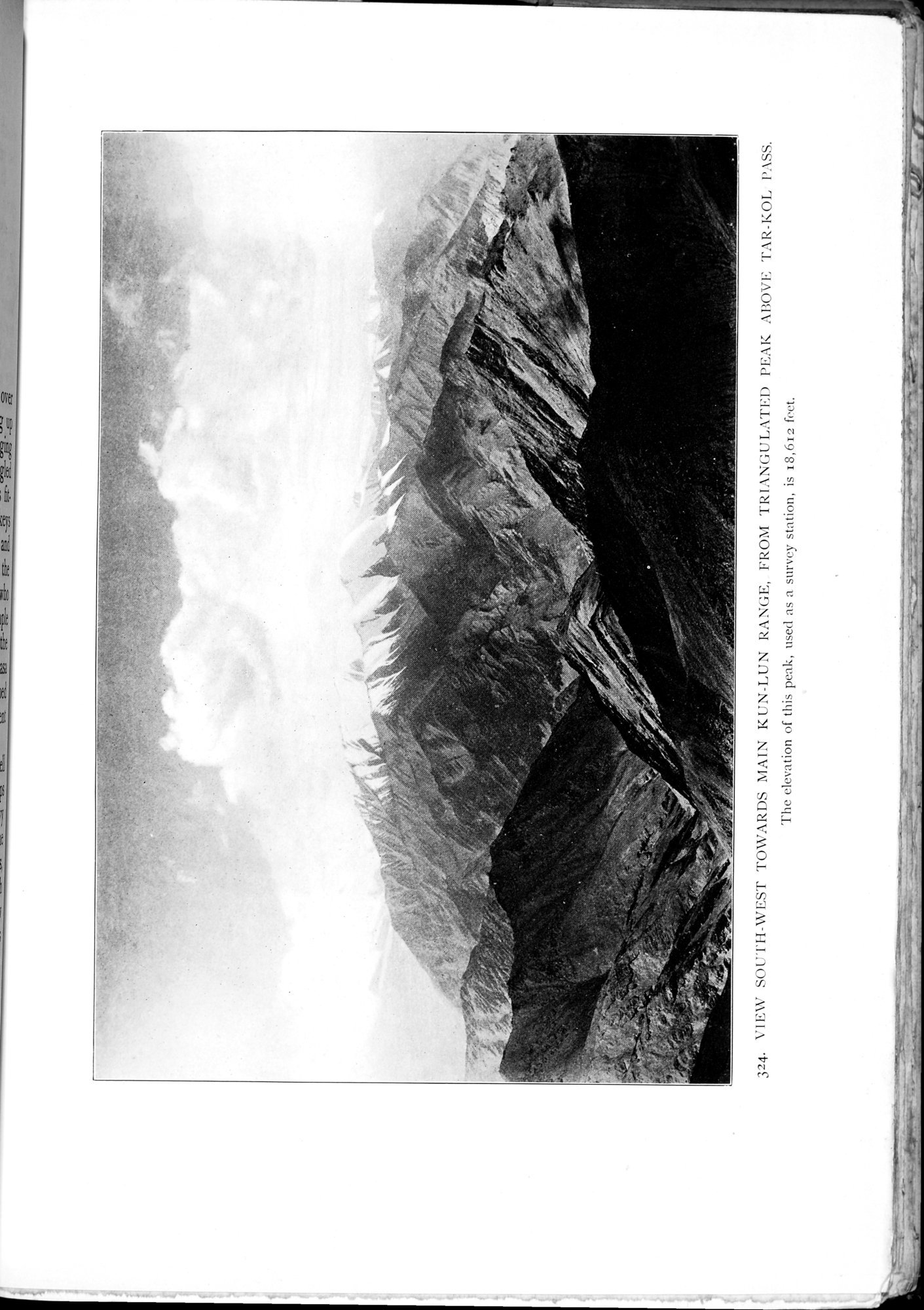 |
| VIEW SOUTH-WEST TOWARDS MAIN KUN-LUN RANGE, FROM TRIANGULATED PEAK ABOVE TAR-KOL PASS. The elevation of this peak, used as a survey station, is 18,612 feet. |
~ 125 ~--~ ~- ~ M--~ ~.76
324. \'I1?\\' SOUTH-WEST TOWARDS MAIN KUN-LUN RANGE, FROM TRIANGULATED PEAK :WOVE TAR-KOL P.\SS. The elevation of this peak, used as a survey station, is 18,612 feet.
|
Copyright (C) 2003-2019 National Institute of Informatics and The Toyo Bunko. All Rights Reserved.