国立情報学研究所 - ディジタル・シルクロード・プロジェクト
| |||||||||
|
| Ruins of Desert Cathay : vol.2 | |
| 中国砂漠地帯の遺跡 : vol.2 |
 |
264 THE WESTERNMOST NAN-SHAN CH. LXXIV
very debouchure. The difficulty of finding water by which to camp was great, and only the help of some Chinese whom we discovered grazing their camels near the route to the Kashkar Pass saved us from serious trouble. The vast deposits of Piedmont gravel which form the glacis to the very foot of the range were, it is true, covered mostly with a thin layer of clay or loess. But the scrub and grass which grew on it was both scanty and coarse, clear evidence of the extreme aridity in soil and atmosphere. What water we had seen leaving the glacis by the gorge below Shih-pao-chêng was, no doubt, all derived from springs in which the drainage absorbed higher up by the beds of gravel came to light again.
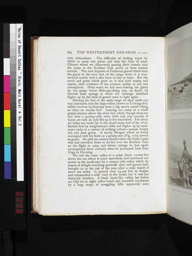
Skirting the foot of the main range we then made our way eastwards into the large valley known as Ta-kung-ch'a, which receives its drainage from a big snowy massif rising to close on 20,000 feet. Leaving our camp on a small grassy plateau above the river bed, which, though deep-cut and over a quarter-mile wide, held only tiny courses of water, we rode on July 8th up to the watershed. For about six miles our route lay in the broad stony bed of the river, flanked first by conglomerate cliffs, and higher up by sandstone rocks in a variety of striking colours—purple, bright red, and dark green. A sturdy Mongol, whom we found encamped with his flock on a grassy plot (Fig. 216), served as guide. He told me curious details about the Dalai-Lama who had travelled down to An-hsi over the Kashkar Pass on his flight in 1904, and whose cortège he had again accompanied more recently when he journeyed back from Urga to Hsi-ning.
We left the main valley at a point about 12,000 feet above the sea where it turns eastwards, and continued our
ascent to the south-east by a steeper side valley which,, by
slopes of shingle overlying greenish slate and gneiss rock, brought us to the top of the pass after a total march of
some ten miles. It proved over 13,400 feet in height,
and commanded a wide view to the south, but it was one distinctly desolate. A bleak basin-like valley lay before
us, fully six to eight miles broad, and bounded southward by a long range of straggling hills, apparently none
|
Copyright (C) 2003-2019
National Institute of Informatics(国立情報学研究所)
and
The Toyo Bunko(東洋文庫). All Rights Reserved.
本ウェブサイトに掲載するデジタル文化資源の無断転載は固くお断りいたします。