National Institute of Informatics - Digital Silk Road Project
| |||||||||
|
| Ruins of Desert Cathay : vol.2 |
 |
45o YURUNG-KASH GLACIER-SOURCES CH. XCIII
found ourselves at the debouchure of a small stream which Pasa called Mandar-kol.
We camped there for the night, and the main valley farther up making a great bend and becoming quite impassable, we had to ascend next day to the top of a high spur eastwards. The pass was about 17,000 feet in height, and once again fortune was kind ; for Pasa's track proved to pass quite close to a well-isolated peak making an ideal survey station. So, on August 28th, leaving camp in a small moss-covered ravine at the foot of an old glacier (Fig. 323), we climbed the peak and were rewarded by a magnificent panorama on the top of the highest rock pinnacle. Triangulation subsequently showed its exact height as 18,612 feet. For an hour or two heavy clouds were drifting over the snowy range south ; but they lifted about mid-day and a truly grand view was then revealed of the latter.
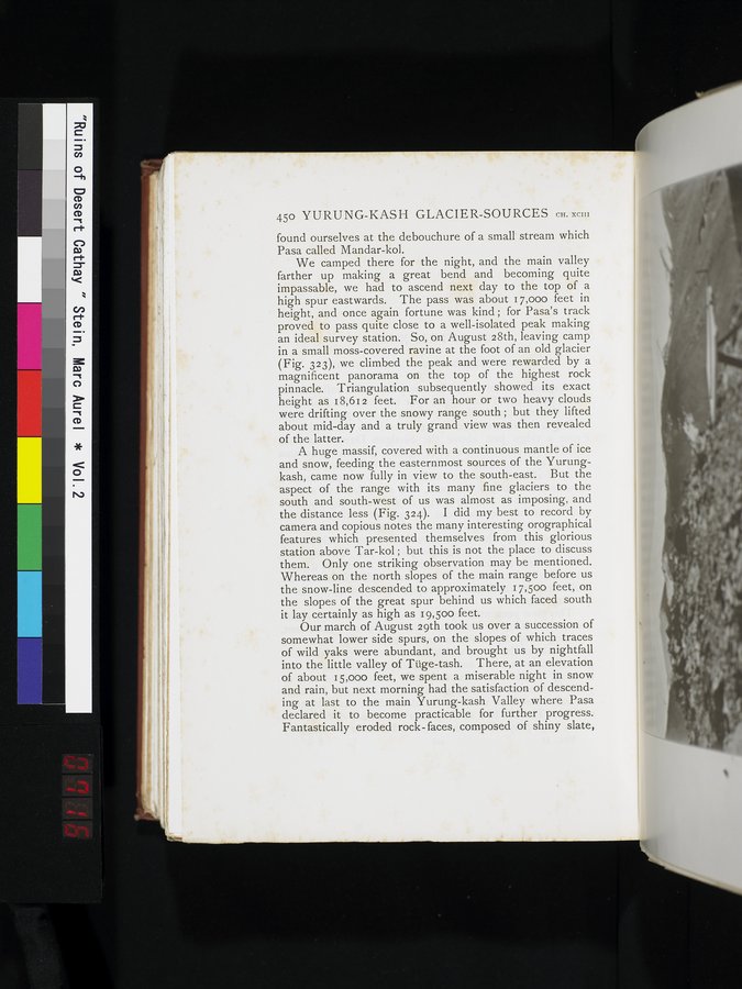
A huge massif, covered with a continuous mantle of ice and snow, feeding the easternmost sources of the Yurungkash, came now fully in view to the south-east. But the aspect of the range with its many fine glaciers to the south and south-west of us was almost as imposing, and the distance less (Fig. 324). I did my best to record by camera and copious notes the many interesting orographical features which presented themselves from this glorious station above Tar-kol ; but this is not the place to discuss them. Only one striking observation may be mentioned. Whereas on the north slopes of the main range before us the snow-line descended to approximately 17,50o feet, on the slopes of the great spur behind us which faced south it lay certainly as high as 19,50o feet.
Our march of August 29th took us over a succession of somewhat lower side spurs, on the slopes of which traces of wild yaks were abundant, and brought us by nightfall into the little valley of Tüge-tash. There, at an elevation of about 15,000 feet, we spent a miserable night in snow and rain, but next morning had the satisfaction of descending at last to the main Yurung-kash Valley where Pasa declared it to become practicable for further progress. Fantastically eroded rock- faces, composed of shiny slate,
|
Copyright (C) 2003-2019 National Institute of Informatics and The Toyo Bunko. All Rights Reserved.