国立情報学研究所 - ディジタル・シルクロード・プロジェクト
| |||||||||
|
| Ruins of Desert Cathay : vol.2 | |
| 中国砂漠地帯の遺跡 : vol.2 |
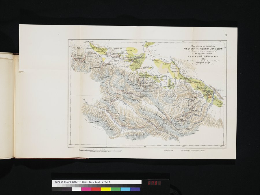 |
| 地図は西・中央南山の一部を示し、M. オーレル=スタイン博士と彼の助手であるR. S. ラム=シンの探検を図示している.インド測量局.1907年.Map showing portions of the WESTERN AND CENTRAL NAN-SHAN to illustrate the explorations of DR. M. AUREL STEIN and his assistant R.S. RAM SINGH, SURVEY OF INDIA. 1907. |
iu.
Map showing portions of the
WESTERN AND CENTRAL NAN-SHAN to Illustrate the explorations of
DR M . AUREL STEIN
and his assistant
R.S.RAM SINGH, SURVEY OF INDIA.
1907..
From the map on the Scale of 1:253.440.
published by the
Surveyor General of India.
i"p.4`,aapl.
K....u..) vk,
4
h
O c
mibk'laci.~.
aee
se•
as'
6 0 Seale of Wes
.t. ..I :1 . o. 3 n. .
Heights in feet
f fo, •>n.DOl• •nd explana6ons see .Nap ) J
|
Copyright (C) 2003-2019
National Institute of Informatics(国立情報学研究所)
and
The Toyo Bunko(東洋文庫). All Rights Reserved.
本ウェブサイトに掲載するデジタル文化資源の無断転載は固くお断りいたします。