National Institute of Informatics - Digital Silk Road Project
| |||||||||
|
| Serindia : vol.3 |
| 00 | 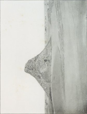 |
Search for similar images |
|---|---|---|
| 01 |  |
Search for similar images |
| 02 | 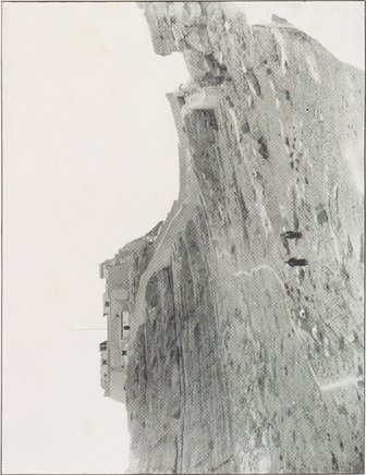 |
Search for similar images |
| 03 | 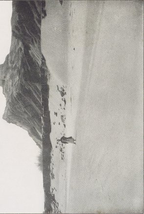 |
Search for similar images |
 |
| MAZĀR-TĀGH HILL WITH RUINED FORT SEEN FROM NORTH-EAST. Clay banks of Khotan River bed in foreground. | |
| KĀKA-JĀDE PEAKS SEEN FROM NEAR MOINAK-KĀK KARA-TEKE RANGE. | |
| CHINESE CITADEL CROWNING ROCKY SPUR ABOVE UCH-TURFĀN, SEEN FROM EAST. | |
| RUINED WATCH-TOWER OF CHONG-TIM SITE, IN DESERT SOUTH OF KELPIN. |
|
Copyright (C) 2003-2019 National Institute of Informatics and The Toyo Bunko. All Rights Reserved.