National Institute of Informatics - Digital Silk Road Project
| |||||||||
|
| Results of a Scientific Mission to India and High Asia : vol.5 |
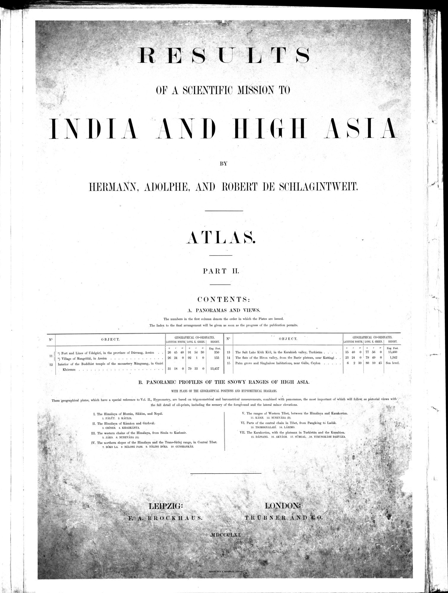 |
OF A SCIENTIFIC MISSION TO
INDIA AND IIIGH ASIA
BY
HERMANN, ADOLPHE, AND ROBERT DE SCHLAGINT W EIT.
A'r r. gis.
PART II.
CONTENTS:
A. PANORAMAS ANI) VIEWS.
The numbers in the firm column denote the order in which the Plates are issued.
The Index to the final arrangement will be given as soon as the progress of the publication permits.
| N° | OBJECT. | GROGRAPHICAL LATRUDR NORTIL | CO-ORDINATtS. LONE L CREWE | EMT. | N° | o B J E C T. | GEOGRAPHICAL LtTITUDK Byre. | CO-0l11INATIN. LONG L GREEN. | HEIGHT. | ||||||||
|
|
|
|
| n | • | . | e | St. Pal |
|
|
|
|
|
| 56 | n | Eat. Feet. |
| 11 { |
I) Village of Nangeldai, in Assam | 26 26 | 45 24 | 40 0 | 91 92 | 56 I | 30 0 | 850 155 | 13 14 | The Snit Lake Kidk RiSI, in the Rarakaeh valley, Turkistan . The gat.v of the lliron valley, from the Rarer plateau, near Ratting' . | 35 23 | 40 24 | 0 0 | 77 79 | 49 | 0 0 | 15,460 1,342 |
| 12 | Interior of the Buddhist temple of the monastery Mangnang, in Gnari |
|
|
|
|
|
|
| IS | Palm grove and Singhalese habitations, near Galls, Ceylon | 6 | 2 | 30 | 80 | 10 | 45 | Sea level. |
| . | Khans= | 31 | 18 | 0 | 79 | 33 | 0 | 13,457 |
|
|
|
|
|
|
|
|
|
B. PANORAMIC PROFILES OF THE SNOWY RANGES OF HIGII ASIA.
WITH PLAYS OF THE GEOGIIAIIPICAL POSITIONS ANT) IIYPSOIIEHIICAL DIAGRAMS.
These 'geographical plates, which have a special reference to Vol. IL, Ilypsometry, are based on trigonometrical and barometrical measurements, combined with panoramas, the most important of which will folow as pictorial views with
the full detail of oil-prints, including the scenery of the foreground and the lateral minor elevations
e
The Himalaya of Bhutan, Sikkim, and Nepal.
L FALOT. r. KAUWA.
The Himalaya of Kimaon and Garhval.- 3. CIIfNER. a. KIDAKHANTA.
The western chains of the Himalaya, from Simla to Kashmir. a. JAKO. 6. NUNEVARA (A).
The northern elopes of the Himalaya and the Trans-SBtlej range, in Central Tibet.
7. BÔKO LA. 8 NE•ANO PAST. 9. TOEING DISRA. 10. GUNSHANKAR
The ranges of Western Tibet, between the Himalaya and Karokonin,.
It. KANJI. 12. NL'NEVARA (Dl. '
Parts of the central chain in Tibet, from PangkAng to !Adak.
IS. TSOMOGNALARI. It. LARIMO.
VIL The Karakonlm, with the plateaux in Turkistan and the Kuenhicn. 16. DAPSANG. 16. AKTAGIL 17. SOMGAL .le. YURUNGKASII DARV.\ZA.
LEIPZIG:
O Ci'lI A
U.S.'
L,
LONI)ON.:
x~
|
Copyright (C) 2003-2019 National Institute of Informatics and The Toyo Bunko. All Rights Reserved.