National Institute of Informatics - Digital Silk Road Project
| |||||||||
|
| Archaeological Reconnaissances in North-Western India and South-Eastern Īrān : vol.1 |
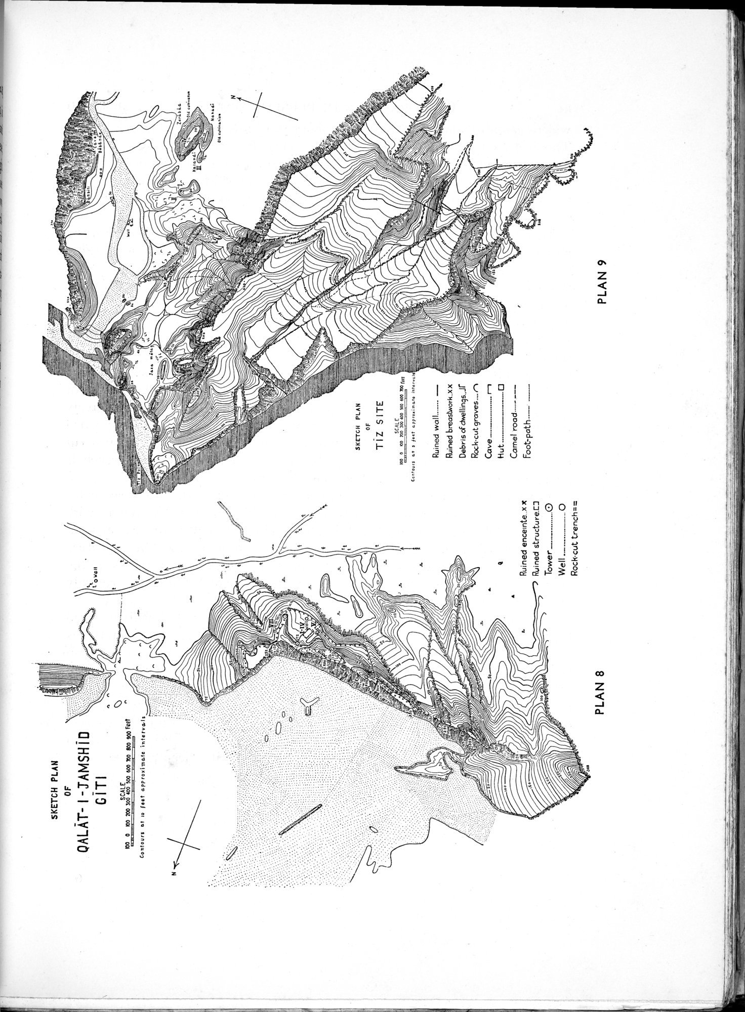 |
| SKETCH PLAN OF QALĀT-I-JAMSHĪD GĪTI | |
| SKETCH PLAN OF TĪZ SITE |
PLAN 8
PLAN 9
SKETCH PLAN
OF
QALAT- I -TAMSH I D
GITI
100 0 100 700 300 ßi00 so0 600 700 900 900 Feet
Contours at 10 foot approximate intervals
$ r.s..nn
s el
ou.wa.e.t..
SKETCH PLAN
OF
TIZ SITE
SCALE
100 0 CO 10o 300 too t0O 000 700 fat
Con $$$$$ et $ ¢et eppreoi Pitt. inrer.ai
4
Ruined encelnte..xX Ruined structure.[]
Tower __..._ O
Well.._ .0
Rock-cut trench==
Ruined wall
Ruined breastwork..xx Debris of dwellinas..Jf Rock-cut graves.... n
Cave._..._
Hut ......... ..... ❑
Camel road ---
Foot-path.
■
A
|
Copyright (C) 2003-2019 National Institute of Informatics and The Toyo Bunko. All Rights Reserved.