National Institute of Informatics - Digital Silk Road Project
Digital Archive of Toyo Bunko Rare Books
|
|
Color Thumbnail -
Table of Contents -
Page Number -
Biliographic Information (Metadata) -
Caption -
Color Image -
Gray HighRes. Image -
Facing Pages -
Graphics -
| 0225 |
Southern Tibet : vol.4 |
 Citation Information
OCR Text
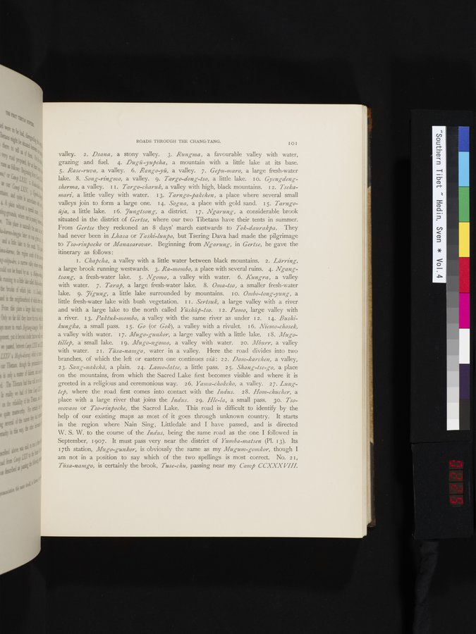
valley. 2. *Dsana*, a stony valley. 3. *Rungma*, a favourable valley with water, grazing and fuel. 4. *Dugü-yupcha*, a mountain with a little lake at its base. 5. *Rase-ruva*, a valley. 6. *Rango-yü*, a valley. 7. *Gepu-maro*, a large fresh-water lake. 8. *Song-ringmo*, a valley. 9. *Targo-dong-tso*, a little lake. 10. *Gyengdeng-sherma*, a valley. 11. *Targo-charuk*, a valley with high, black mountains. 12. *Tseka-mari*, a little valley with water. 13. *Tarngo-pakchen*, a place where several small valleys join to form a large one. 14. *Sogna*, a place with gold sand. 15. *Tarngo-ája*, a little lake. 16. *Jungtsong*, a district. 17. *Ngarung*, a considerable brook situated in the district of *Gertse*, where our two Tibetans have their tents in summer. From *Gertse* they reckoned an 8 days' march eastwards to *Tok-daurakpa*. They had never been in *Lhasa* or *Tashi-lunpo*, but Tsering Dava had made the pilgrimage to *Tso-rinpoche* or *Manasarovar*. Beginning from *Ngarung*, in *Gertse*, he gave the itinerary as follows:
1. *Chapcha*, a valley with a little water between black mountains. 2. *Lärring*, a large brook running westwards. 3. *Ra-mombo*, a place with several ruins. 4. *Ngang-tsang*, a fresh-water lake. 5. *Ngomo*, a valley with water. 6. *Kungra*, a valley with water. 7. *Tarap*, a large fresh-water lake. 8. *Oma-tso*, a smaller fresh-water lake. 9. *Jigung*, a little lake surrounded by mountains. 10. *Ombo-tong-yung*, a little fresh-water lake with bush vegetation. 11. *Sertsuk*, a large valley with a river and with a large lake to the north called *Yüshüp-tso*. 12. *Pamo*, large valley with a river. 13. *Paktuk-mombo*, a valley with the same river as under 12. 14. *Bushi-kungka*, a small pass. 15. *Go* (or *Gok*), a valley with a rivulet. 16. *Niemo-chosek*, a valley with water. 17. *Mugo-gunkor*, a large valley with a little lake. 18. *Mugo-tillep*, a small lake. 19. *Mugo-ngomo*, a valley with water. 20. *Mburr*, a valley with water. 21. *Tüsa-namgo*, water in a valley. Here the road divides into two branches, of which the left or eastern one continues *viâ*: 22. *Dam-karchen*, a valley, 23. *Sang-nakchá*, a plain. 24. *Lamo-latse*, a little pass. 25. *Shang-lse-go*, a place on the mountains, from which the Sacred Lake first becomes visible and where it is greeted in a religious and ceremonious way. 26. *Yama-chokcho*, a valley. 27. *Lung-tep*, where the road first comes into contact with the *Indus*. 28. *Hom-chucher*, a place with a large river that joins the *Indus*. 29. *Hle-la*, a small pass. 30. *Tso-movam* or *Tso-rinpoche*, the Sacred Lake. This road is difficult to identify by the help of our existing maps as most of it goes through unknown country. It starts in the region where Nain Sing, Littledale and I have passed, and is directed W. S. W. to the course of the *Indus*, being the same road as the one I followed in September, 1907. It must pass very near the district of *Yumba-matsen* (Pl. 13). Its 17th station, *Mugo-gunkor*, is obviously the same as my *Mugum-gomkor*, though I am not in a position to say which of the two spellings is most correct. No. 21, *Tüsa-namgo*, is certainly the brook, *Tuse-chu*, passing near my *Camp CCXXXVIII*.
1
.
.
.
.
|
.
.
.
.
16
.
.
.
.
|
.
.
.
.
29
.
.
.
.
|
.
.
.
.
43
.
.
.
.
|
.
.
.
.
57
.
.
.
.
|
.
.
.
.
68
.
.
.
.
|
.
.
.
.
81
.
.
.
.
|
.
.
.
.
92
.
.
.
.
|
.
.
.
.
107
.
.
.
.
|
.
.
.
.
119
.
.
.
.
|
.
.
.
.
131
.
.
.
.
|
.
.
.
.
144
.
.
.
.
|
.
.
.
.
162
.
.
.
.
|
.
.
.
.
177
.
.
.
.
|
.
.
.
.
190
.
.
.
.
|
.
.
.
.
205
.
.
.
.
|
.
.
.
.
219
.
.
223
224
225
226
227
.
.
230
.
.
.
.
|
.
.
.
.
241
.
.
.
.
|
.
.
.
.
253
.
.
.
.
|
.
.
.
.
266
.
.
.
.
|
.
.
.
.
279
.
.
.
.
|
.
.
.
.
291
.
.
.
.
|
.
.
.
.
302
.
.
.
.
|
.
.
.
.
315
.
.
.
.
|
.
.
.
.
327
.
.
.
.
|
.
.
.
.
339
.
.
.
.
|
.
.
.
.
354
.
.
.
.
|
.
.
.
.
366
.
.
.
.
|
.
.
.
.
379
.
.
.
.
|
.
.
.
.
393
.
.
.
.
|
.
.
.
.
404
.
.
.
.
|
.
.
.
.
416
.
.
.
.
|
.
.
.
.
429
.
.
.
.
|
.
.
.
.
441
.
.
.
.
|
.
.
.
.
453
.
.
.
.
|
.
.
.
.
464
.
.
.
.
|
.
.
.
.
474
.
.
.
.
|
.
.
.
.
484
.
.
.
.
|
.
.
.
.
495
.
.
.
.
|
.
.
.
.
505
.
.
.
.
|
.
.
.
.
519
.
.
.
.
|
.
.
.
.
529
.
.
.
.
|
.
.
.
.
541
.
.
.
.
|
.
.
.
.
552
.
.
.
.
|
.
.
.
.
568
.
.
.
.
|
.
.
.
.
583
.
.
.
.
|
.
.
.
.
600
.
.
.
.
|
.
.
.
.
615
.
.
.
.
|
.
.
.
.
629
.
.
.
.
|
.
.
.
.
643
.
.
.
.
|
.
.
.
.
654
.
.
.
.
|
.
.
.
.
665
.
.
.
.
|
.
.
.
.
677
.
.
.
.
|
.
.
.
.
692
.
.
.
.
|
.
.
.
.
707
.
.
.
.
|
.
.
.
.
725
.
.
.
.
|
.
.
.
.
736
.
.
.
.
|
.
.
.
.
746
.
.
.
756
Copyright (C) 2003-2026
National Institute of Informatics
and
The Toyo Bunko. All Rights Reserved.