National Institute of Informatics - Digital Silk Road Project
Digital Archive of Toyo Bunko Rare Books
|
|
Color Thumbnail -
Table of Contents -
Page Number -
Biliographic Information (Metadata) -
Caption -
Color Image -
Gray HighRes. Image -
Facing Pages -
Graphics -
| 0232 |
Southern Tibet : vol.4 |
 Citation Information
OCR Text
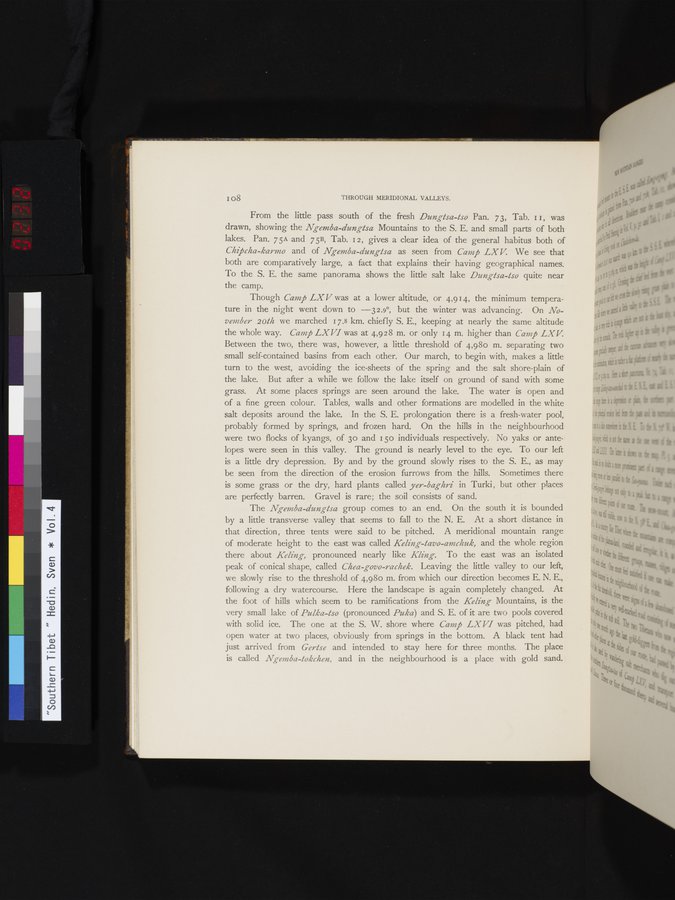
From the little pass south of the fresh *Dungtsa-tso* Pan. 73, Tab. 11, was drawn, showing the *Ngemba-dungtsa* Mountains to the S. E. and small parts of both lakes. Pan. 75A and 75B, Tab. 12, gives a clear idea of the general habitus both of *Chipcha-karmo* and of *Ngemba-dungtsa* as seen from *Camp LXV*. We see that both are comparatively large, a fact that explains their having geographical names. To the S. E. the same panorama shows the little salt lake *Dungtsa-tso* quite near the camp.
Though *Camp LXV* was at a lower altitude, or 4,914, the minimum temperature in the night went down to —32.9°, but the winter was advancing. On *November 20th* we marched 17.8 km. chiefly S. E., keeping at nearly the same altitude the whole way. *Camp LXVI* was at 4,928 m. or only 14 m. higher than *Camp LXV*. Between the two, there was, however, a little threshold of 4,980 m. separating two small self-contained basins from each other. Our march, to begin with, makes a little turn to the west, avoiding the ice-sheets of the spring and the salt shore-plain of the lake. But after a while we follow the lake itself on ground of sand with some grass. At some places springs are seen around the lake. The water is open and of a fine green colour. Tables, walls and other formations are modelled in the white salt deposits around the lake. In the S. E. prolongation there is a fresh-water pool, probably formed by springs, and frozen hard. On the hills in the neighbourhood were two flocks of kyangs, of 30 and 150 individuals respectively. No yaks or antelopes were seen in this valley. The ground is nearly level to the eye. To our left is a little dry depression. By and by the ground slowly rises to the S. E., as may be seen from the direction of the erosion furrows from the hills. Sometimes there is some grass or the dry, hard plants called *yer-baghri* in Turki, but other places are perfectly barren. Gravel is rare; the soil consists of sand.
The *Ngemba-dungtsa* group comes to an end. On the south it is bounded by a little transverse valley that seems to fall to the N. E. At a short distance in that direction, three tents were said to be pitched. A meridional mountain range of moderate height to the east was called *Keling-tavo-amchuk*, and the whole region there about *Keling*, pronounced nearly like *Kling*. To the east was an isolated peak of conical shape, called *Chea-govo-rachek*. Leaving the little valley to our left, we slowly rise to the threshold of 4,980 m. from which our direction becomes E. N. E., following a dry watercourse. Here the landscape is again completely changed. At the foot of hills which seem to be ramifications from the *Keling* Mountains, is the very small lake of *Pulka-tso* (pronounced *Puka*) and S. E. of it are two pools covered with solid ice. The one at the S. W. shore where *Camp LXVI* was pitched, had open water at two places, obviously from springs in the bottom. A black tent had just arrived from *Gertse* and intended to stay here for three months. The place is called *Ngemba-tokchen*, and in the neighbourhood is a place with gold sand.
1
.
.
.
.
|
.
.
.
.
16
.
.
.
.
|
.
.
.
.
29
.
.
.
.
|
.
.
.
.
43
.
.
.
.
|
.
.
.
.
57
.
.
.
.
|
.
.
.
.
68
.
.
.
.
|
.
.
.
.
81
.
.
.
.
|
.
.
.
.
92
.
.
.
.
|
.
.
.
.
107
.
.
.
.
|
.
.
.
.
119
.
.
.
.
|
.
.
.
.
131
.
.
.
.
|
.
.
.
.
144
.
.
.
.
|
.
.
.
.
162
.
.
.
.
|
.
.
.
.
177
.
.
.
.
|
.
.
.
.
190
.
.
.
.
|
.
.
.
.
205
.
.
.
.
|
.
.
.
.
219
.
.
.
.
|
.
.
.
.
230
231
232
233
234
|
.
.
.
.
241
.
.
.
.
|
.
.
.
.
253
.
.
.
.
|
.
.
.
.
266
.
.
.
.
|
.
.
.
.
279
.
.
.
.
|
.
.
.
.
291
.
.
.
.
|
.
.
.
.
302
.
.
.
.
|
.
.
.
.
315
.
.
.
.
|
.
.
.
.
327
.
.
.
.
|
.
.
.
.
339
.
.
.
.
|
.
.
.
.
354
.
.
.
.
|
.
.
.
.
366
.
.
.
.
|
.
.
.
.
379
.
.
.
.
|
.
.
.
.
393
.
.
.
.
|
.
.
.
.
404
.
.
.
.
|
.
.
.
.
416
.
.
.
.
|
.
.
.
.
429
.
.
.
.
|
.
.
.
.
441
.
.
.
.
|
.
.
.
.
453
.
.
.
.
|
.
.
.
.
464
.
.
.
.
|
.
.
.
.
474
.
.
.
.
|
.
.
.
.
484
.
.
.
.
|
.
.
.
.
495
.
.
.
.
|
.
.
.
.
505
.
.
.
.
|
.
.
.
.
519
.
.
.
.
|
.
.
.
.
529
.
.
.
.
|
.
.
.
.
541
.
.
.
.
|
.
.
.
.
552
.
.
.
.
|
.
.
.
.
568
.
.
.
.
|
.
.
.
.
583
.
.
.
.
|
.
.
.
.
600
.
.
.
.
|
.
.
.
.
615
.
.
.
.
|
.
.
.
.
629
.
.
.
.
|
.
.
.
.
643
.
.
.
.
|
.
.
.
.
654
.
.
.
.
|
.
.
.
.
665
.
.
.
.
|
.
.
.
.
677
.
.
.
.
|
.
.
.
.
692
.
.
.
.
|
.
.
.
.
707
.
.
.
.
|
.
.
.
.
725
.
.
.
.
|
.
.
.
.
736
.
.
.
.
|
.
.
.
.
746
.
.
.
756
Copyright (C) 2003-2026
National Institute of Informatics
and
The Toyo Bunko. All Rights Reserved.