National Institute of Informatics - Digital Silk Road Project
Digital Archive of Toyo Bunko Rare Books
|
|
Color Thumbnail -
Table of Contents -
Page Number -
Biliographic Information (Metadata) -
Caption -
Color Image -
Gray HighRes. Image -
Facing Pages -
Graphics -
| 0359 |
Southern Tibet : vol.4 |
 Citation Information
OCR Text
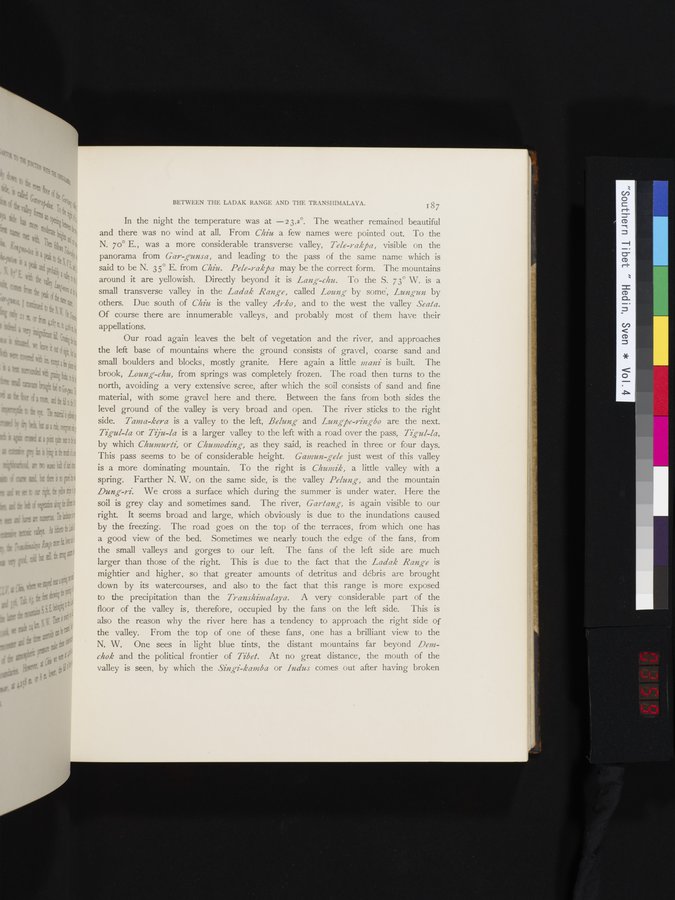
In the night the temperature was at —23.2°. The weather remained beautiful and there was no wind at all. From *Chiu* a few names were pointed out. To the N. 70° E., was a more considerable transverse valley, *Tele-rakpa*, visible on the panorama from *Gar-gunsa*, and leading to the pass of the same name which is said to be N. 35° E. from *Chiu*. *Pele-rakpa* may be the correct form. The mountains around it are yellowish. Directly beyond it is *Lang-chu*. To the S. 73° W. is a small transverse valley in the *Ladak Range*, called *Loung* by some, *Lungun* by others. Due south of *Chiu* is the valley *Arko*, and to the west the valley *Seata*. Of course there are innumerable valleys, and probably most of them have their appellations.
Our road again leaves the belt of vegetation and the river, and approaches the left base of mountains where the ground consists of gravel, coarse sand and small boulders and blocks, mostly granite. Here again a little *mani* is built. The brook, *Loung-chu*, from springs was completely frozen. The road then turns to the north, avoiding a very extensive scree, after which the soil consists of sand and fine material, with some gravel here and there. Between the fans from both sides the level ground of the valley is very broad and open. The river sticks to the right side. *Tama-kera* is a valley to the left, *Belung* and *Lungpe-ringbo* are the next. *Tigul-la* or *Tiju-la* is a larger valley to the left with a road over the pass, *Tigul-la*, by which *Chumurti*, or *Chumoding*, as they said, is reached in three or four days. This pass seems to be of considerable height. *Gamun-gele* just west of this valley is a more dominating mountain. To the right is *Chumik*, a little valley with a spring. Farther N. W. on the same side, is the valley *Pelung*, and the mountain *Dung-ri*. We cross a surface which during the summer is under water. Here the soil is grey clay and sometimes sand. The river, *Gartang*, is again visible to our right. It seems broad and large, which obviously is due to the inundations caused by the freezing. The road goes on the top of the terraces, from which one has a good view of the bed. Sometimes we nearly touch the edge of the fans, from the small valleys and gorges to our left. The fans of the left side are much larger than those of the right. This is due to the fact that the *Ladak Range* is mightier and higher, so that greater amounts of detritus and débris are brought down by its watercourses, and also to the fact that this range is more exposed to the precipitation than the *Transhimalaya*. A very considerable part of the floor of the valley is, therefore, occupied by the fans on the left side. This is also the reason why the river here has a tendency to approach the right side of the valley. From the top of one of these fans, one has a brilliant view to the N. W. One sees in light blue tints, the distant mountains far beyond *Dem-chok* and the political frontier of *Tibet*. At no great distance, the mouth of the valley is seen, by which the *Singi-kamba* or *Indus* comes out after having broken
1
.
.
.
.
|
.
.
.
.
16
.
.
.
.
|
.
.
.
.
29
.
.
.
.
|
.
.
.
.
43
.
.
.
.
|
.
.
.
.
57
.
.
.
.
|
.
.
.
.
68
.
.
.
.
|
.
.
.
.
81
.
.
.
.
|
.
.
.
.
92
.
.
.
.
|
.
.
.
.
107
.
.
.
.
|
.
.
.
.
119
.
.
.
.
|
.
.
.
.
131
.
.
.
.
|
.
.
.
.
144
.
.
.
.
|
.
.
.
.
162
.
.
.
.
|
.
.
.
.
177
.
.
.
.
|
.
.
.
.
190
.
.
.
.
|
.
.
.
.
205
.
.
.
.
|
.
.
.
.
219
.
.
.
.
|
.
.
.
.
230
.
.
.
.
|
.
.
.
.
241
.
.
.
.
|
.
.
.
.
253
.
.
.
.
|
.
.
.
.
266
.
.
.
.
|
.
.
.
.
279
.
.
.
.
|
.
.
.
.
291
.
.
.
.
|
.
.
.
.
302
.
.
.
.
|
.
.
.
.
315
.
.
.
.
|
.
.
.
.
327
.
.
.
.
|
.
.
.
.
339
.
.
.
.
|
.
.
.
.
354
.
357
358
359
360
361
.
.
.
366
.
.
.
.
|
.
.
.
.
379
.
.
.
.
|
.
.
.
.
393
.
.
.
.
|
.
.
.
.
404
.
.
.
.
|
.
.
.
.
416
.
.
.
.
|
.
.
.
.
429
.
.
.
.
|
.
.
.
.
441
.
.
.
.
|
.
.
.
.
453
.
.
.
.
|
.
.
.
.
464
.
.
.
.
|
.
.
.
.
474
.
.
.
.
|
.
.
.
.
484
.
.
.
.
|
.
.
.
.
495
.
.
.
.
|
.
.
.
.
505
.
.
.
.
|
.
.
.
.
519
.
.
.
.
|
.
.
.
.
529
.
.
.
.
|
.
.
.
.
541
.
.
.
.
|
.
.
.
.
552
.
.
.
.
|
.
.
.
.
568
.
.
.
.
|
.
.
.
.
583
.
.
.
.
|
.
.
.
.
600
.
.
.
.
|
.
.
.
.
615
.
.
.
.
|
.
.
.
.
629
.
.
.
.
|
.
.
.
.
643
.
.
.
.
|
.
.
.
.
654
.
.
.
.
|
.
.
.
.
665
.
.
.
.
|
.
.
.
.
677
.
.
.
.
|
.
.
.
.
692
.
.
.
.
|
.
.
.
.
707
.
.
.
.
|
.
.
.
.
725
.
.
.
.
|
.
.
.
.
736
.
.
.
.
|
.
.
.
.
746
.
.
.
756
Copyright (C) 2003-2026
National Institute of Informatics
and
The Toyo Bunko. All Rights Reserved.