National Institute of Informatics - Digital Silk Road Project
Digital Archive of Toyo Bunko Rare Books
|
|
Color Thumbnail -
Table of Contents -
Page Number -
Biliographic Information (Metadata) -
Caption -
Color Image -
Gray HighRes. Image -
Facing Pages -
Graphics -
| 0373 |
Southern Tibet : vol.4 |
 Citation Information
OCR Text
195
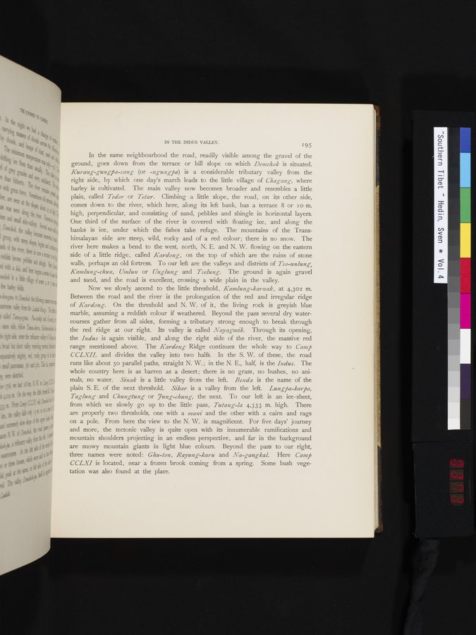
In the same neighbourhood the road, readily visible among the gravel of the
ground, goes down from the terrace or hill slope on which *Demchok* is situated.
*Kurang-gungpa-sang* (or *-ngungpa*) is a considerable tributary valley from the
right side, by which one day's march leads to the little village of *Chagang,* where
barley is cultivated. The main valley now becomes broader and resembles a little
plain, called *Tedor* or *Tetar.* Climbing a little slope, the road, on its other side,
comes down to the river, which here, along its left bank, has a terrace 8 or 10 m.
high, perpendicular, and consisting of sand, pebbles and shingle in horizontal layers.
One third of the surface of the river is covered with floating ice, and along the
banks is ice, under which the fishes take refuge. The mountains of the Trans-
himalayan side are steep, wild, rocky and of a red colour; there is no snow. The
river here makes a bend to the west, north, N. E. and N. W. flowing on the eastern
side of a little ridge, called *Kardong,* on the top of which are the ruins of stone
walls, perhaps an old fortress. To our left are the valleys and districts of *Tso-unlung,
Kamlung-chun, Umlun* or *Unglung* and *Tselung.* The ground is again gravel
and sand, and the road is excellent, crossing a wide plain in the valley.
Now we slowly ascend to the little threshold, *Kamlung-karnak,* at 4,302 m.
Between the road and the river is the prolongation of the red and irregular ridge
of *Kardong.* On the threshold and N. W. of it, the living rock is greyish blue
marble, assuming a reddish colour if weathered. Beyond the pass several dry water-
courses gather from all sides, forming a tributary strong enough to break through
the red ridge at our right. Its valley is called *Nayagmik.* Through its opening,
the *Indus* is again visible, and along the right side of the river, the massive red
range mentioned above. The *Kardong* Ridge continues the whole way to *Camp
CCLXII,* and divides the valley into two halfs. In the S. W. of these, the road
runs like about 50 parallel paths, straight N. W.; in the N. E., half, is the *Indus.* The
whole country here is as barren as a desert; there is no grass, no bushes, no ani-
mals, no water. *Sinak* is a little valley from the left. *Benda* is the name of the
plain S. E. of the next threshold. *Sikar* is a valley from the left. *Lungpa-karpo,
Taglung* and *Chungtung* or *Jung-chung,* the next. To our left is an ice-sheet,
from which we slowly go up to the little pass, *Tutang-la* 4,333 m. high. There
are properly two thresholds, one with a *mani* and the other with a cairn and rags
on a pole. From here the view to the N. W. is magnificent. For five days' journey
and more, the tectonic valley is quite open with its innumerable ramifications and
mountain shoulders projecting in an endless perspective, and far in the background
are snowy mountain giants in light blue colours. Beyond the pass to our right,
three names were noted: *Ghu-ton, Rayung-karu* and *Na-gangkal.* Here *Camp
CCLXI* is located, near a frozen brook coming from a spring. Some bush vege-
tation was also found at the place.
1
.
.
.
.
|
.
.
.
.
16
.
.
.
.
|
.
.
.
.
29
.
.
.
.
|
.
.
.
.
43
.
.
.
.
|
.
.
.
.
57
.
.
.
.
|
.
.
.
.
68
.
.
.
.
|
.
.
.
.
81
.
.
.
.
|
.
.
.
.
92
.
.
.
.
|
.
.
.
.
107
.
.
.
.
|
.
.
.
.
119
.
.
.
.
|
.
.
.
.
131
.
.
.
.
|
.
.
.
.
144
.
.
.
.
|
.
.
.
.
162
.
.
.
.
|
.
.
.
.
177
.
.
.
.
|
.
.
.
.
190
.
.
.
.
|
.
.
.
.
205
.
.
.
.
|
.
.
.
.
219
.
.
.
.
|
.
.
.
.
230
.
.
.
.
|
.
.
.
.
241
.
.
.
.
|
.
.
.
.
253
.
.
.
.
|
.
.
.
.
266
.
.
.
.
|
.
.
.
.
279
.
.
.
.
|
.
.
.
.
291
.
.
.
.
|
.
.
.
.
302
.
.
.
.
|
.
.
.
.
315
.
.
.
.
|
.
.
.
.
327
.
.
.
.
|
.
.
.
.
339
.
.
.
.
|
.
.
.
.
354
.
.
.
.
|
.
.
.
.
366
.
.
371
372
373
374
375
.
.
379
.
.
.
.
|
.
.
.
.
393
.
.
.
.
|
.
.
.
.
404
.
.
.
.
|
.
.
.
.
416
.
.
.
.
|
.
.
.
.
429
.
.
.
.
|
.
.
.
.
441
.
.
.
.
|
.
.
.
.
453
.
.
.
.
|
.
.
.
.
464
.
.
.
.
|
.
.
.
.
474
.
.
.
.
|
.
.
.
.
484
.
.
.
.
|
.
.
.
.
495
.
.
.
.
|
.
.
.
.
505
.
.
.
.
|
.
.
.
.
519
.
.
.
.
|
.
.
.
.
529
.
.
.
.
|
.
.
.
.
541
.
.
.
.
|
.
.
.
.
552
.
.
.
.
|
.
.
.
.
568
.
.
.
.
|
.
.
.
.
583
.
.
.
.
|
.
.
.
.
600
.
.
.
.
|
.
.
.
.
615
.
.
.
.
|
.
.
.
.
629
.
.
.
.
|
.
.
.
.
643
.
.
.
.
|
.
.
.
.
654
.
.
.
.
|
.
.
.
.
665
.
.
.
.
|
.
.
.
.
677
.
.
.
.
|
.
.
.
.
692
.
.
.
.
|
.
.
.
.
707
.
.
.
.
|
.
.
.
.
725
.
.
.
.
|
.
.
.
.
736
.
.
.
.
|
.
.
.
.
746
.
.
.
756
Copyright (C) 2003-2026
National Institute of Informatics
and
The Toyo Bunko. All Rights Reserved.