National Institute of Informatics - Digital Silk Road Project
Digital Archive of Toyo Bunko Rare Books
|
|
Color Thumbnail -
Table of Contents -
Page Number -
Biliographic Information (Metadata) -
Caption -
Color Image -
Gray HighRes. Image -
Facing Pages -
Graphics -
| 0485 |
Southern Tibet : vol.4 |
 Citation Information
OCR Text
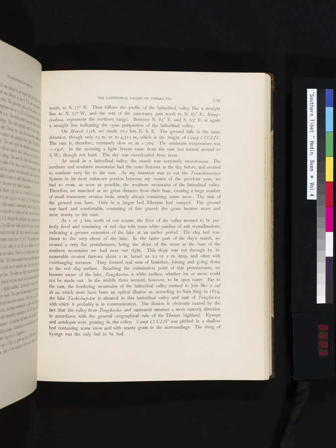
south, to S. 77° W. Then follows the profile of the latitudinal valley like a straight
line to N. 77° W., and the rest of the panorama past north to N. 85° E., Kung-
tsakma, represents the northern range. Between N. 85° E. and S. 63° E. is again
a straight line indicating the open perspective of the latitudinal valley.
On March 15th, we made 16.3 km. E. S. E. The ground falls in the same
direction, though only 23 m. or to 4.511 m., which is the height of Camp CCCLIV.
The rate is, therefore, extremely slow or as 1:709. The minimum temperature was
—19.0°. In the morning a light breeze came from the east but turned around to
S. W., though not hard. The sky was overclouded from noon.
As usual in a latitudinal valley, the march was extremely monotonous. The
northern and southern mountains had the same features as the day before, and seemed
to continue very far to the east. As my intention was to cut the Transhimalaya
System in its most unknown portion between my routes of the previous year, we
had to cross, as soon as possible, the southern mountains of the latitudinal valley.
Therefore, we marched at no great distance from their base, crossing a large number
of small transverse erosion beds, nearly always containing some snow. The rest of
the ground was bare. Only in a larger bed, Tibetans had camped. The ground
was hard and comfortable, consisting of fine gravel; the grass became more and
more scanty to the east.
At 2 or 3 km. north of our course, the floor of the valley seemed to be per-
fectly level and consisting of red clay with some white patches of salt crystallizations,
indicating a greater extension of the lake at an earlier period. The clay bed con-
tinues to the very shore of the lake. In the latter part of the day's march, we
crossed a very flat protuberance, being the slope of the scree at the base of the
southern mountains we had near our right. This slope was cut through by in-
numerable erosion furrows about 2 m. broad an 1.5 or 2 m. deep, and often with
overhanging terraces. They formed real nets of branches, joining and going down
to the red clay surface. Reaching the culmination point of this protuberance, we
became aware of the lake, Tongka-tso, a white surface, whether ice or snow, could
not be made out. In the middle there seemed, however, to be open water. Far to
the east, the bordering mountains of the latitudinal valley seemed to join like a cul
de sac which must have been an optical illusion as, according to Nain Sing in 1874,
the lake Tashi-bup-tso is situated in this latitudinal valley and east of Tongka-tso
with which it probably is in communication. The illusion is obviously caused by the
fact that the valley from Tongka-tso and eastwards assumes a more easterly direction
in accordance with the general orographical rule of the Tibetan highland. Kyangs
and antelopes were grazing in the valley. Camp CCCLIV was pitched in a shallow
bed containing some snow and with scanty grass in the surroundings. The dung of
kyangs was the only fuel to be had.
1
.
.
.
.
|
.
.
.
.
16
.
.
.
.
|
.
.
.
.
29
.
.
.
.
|
.
.
.
.
43
.
.
.
.
|
.
.
.
.
57
.
.
.
.
|
.
.
.
.
68
.
.
.
.
|
.
.
.
.
81
.
.
.
.
|
.
.
.
.
92
.
.
.
.
|
.
.
.
.
107
.
.
.
.
|
.
.
.
.
119
.
.
.
.
|
.
.
.
.
131
.
.
.
.
|
.
.
.
.
144
.
.
.
.
|
.
.
.
.
162
.
.
.
.
|
.
.
.
.
177
.
.
.
.
|
.
.
.
.
190
.
.
.
.
|
.
.
.
.
205
.
.
.
.
|
.
.
.
.
219
.
.
.
.
|
.
.
.
.
230
.
.
.
.
|
.
.
.
.
241
.
.
.
.
|
.
.
.
.
253
.
.
.
.
|
.
.
.
.
266
.
.
.
.
|
.
.
.
.
279
.
.
.
.
|
.
.
.
.
291
.
.
.
.
|
.
.
.
.
302
.
.
.
.
|
.
.
.
.
315
.
.
.
.
|
.
.
.
.
327
.
.
.
.
|
.
.
.
.
339
.
.
.
.
|
.
.
.
.
354
.
.
.
.
|
.
.
.
.
366
.
.
.
.
|
.
.
.
.
379
.
.
.
.
|
.
.
.
.
393
.
.
.
.
|
.
.
.
.
404
.
.
.
.
|
.
.
.
.
416
.
.
.
.
|
.
.
.
.
429
.
.
.
.
|
.
.
.
.
441
.
.
.
.
|
.
.
.
.
453
.
.
.
.
|
.
.
.
.
464
.
.
.
.
|
.
.
.
.
474
.
.
.
.
|
.
.
.
483
484
485
486
487
.
|
.
.
.
.
495
.
.
.
.
|
.
.
.
.
505
.
.
.
.
|
.
.
.
.
519
.
.
.
.
|
.
.
.
.
529
.
.
.
.
|
.
.
.
.
541
.
.
.
.
|
.
.
.
.
552
.
.
.
.
|
.
.
.
.
568
.
.
.
.
|
.
.
.
.
583
.
.
.
.
|
.
.
.
.
600
.
.
.
.
|
.
.
.
.
615
.
.
.
.
|
.
.
.
.
629
.
.
.
.
|
.
.
.
.
643
.
.
.
.
|
.
.
.
.
654
.
.
.
.
|
.
.
.
.
665
.
.
.
.
|
.
.
.
.
677
.
.
.
.
|
.
.
.
.
692
.
.
.
.
|
.
.
.
.
707
.
.
.
.
|
.
.
.
.
725
.
.
.
.
|
.
.
.
.
736
.
.
.
.
|
.
.
.
.
746
.
.
.
756
Copyright (C) 2003-2026
National Institute of Informatics
and
The Toyo Bunko. All Rights Reserved.