National Institute of Informatics - Digital Silk Road Project
Digital Archive of Toyo Bunko Rare Books
|
|
Color Thumbnail -
Table of Contents -
Page Number -
Biliographic Information (Metadata) -
Caption -
Color Image -
Gray HighRes. Image -
Facing Pages -
Graphics -
| 0543 |
Southern Tibet : vol.4 |
 Citation Information
OCR Text
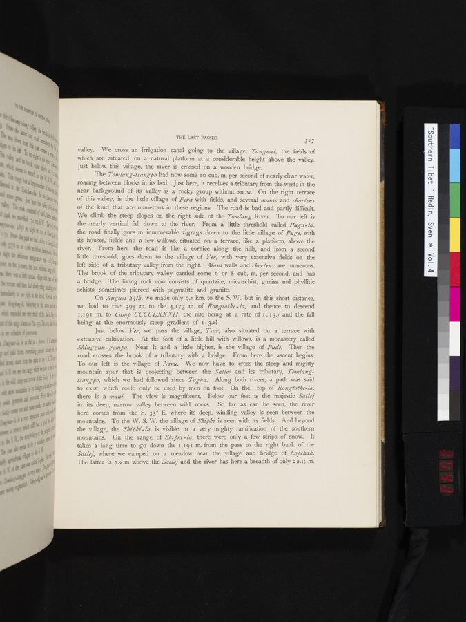
valley. We cross an irrigation canal going to the village, *Tangmet,* the fields of
which are situated on a natural platform at a considerable height above the valley.
Just below this village, the river is crossed on a wooden bridge.
The *Tomlang-tsangpo* had now some 10 cub. m. per second of nearly clear water,
roaring between blocks in its bed. Just here, it receives a tributary from the west; in the
near background of its valley is a rocky group without snow. On the right terrace
of this valley, is the little village of *Pera* with fields, and several *manis* and *chortens*
of the kind that are numerous in these regions. The road is bad and partly difficult.
We climb the steep slopes on the right side of the *Tomlang* River. To our left is
the nearly vertical fall down to the river. From a little threshold called *Puga-la,*
the road finally goes in innumerable zigzags down to the little village of *Puge,* with
its houses, fields and a few willows, situated on a terrace, like a platform, above the
river. From here the road is like a cornice along the hills, and from a second
little threshold, goes down to the village of *Yer,* with very extensive fields on the
left side of a tributary valley from the right. *Mani* walls and *chortens* are numerous.
The brook of the tributary valley carried some 6 or 8 cub. m. per second, and has
a bridge. The living rock now consists of quartzite, mica-schist, gneiss and phyllitic
schists, sometimes pierced with pegmatite and granite.
On *August 25th,* we made only 9.2 km. to the S. W., but in this short distance,
we had to rise 395 m. to the 4,173 m. of *Rongtotke-la,* and thence to descend
1,191 m. to *Camp CCCCLXXXII,* the rise being at a rate of 1:13.7 and the fall
being at the enormously steep gradient of 1:3.2!
Just below *Yer,* we pass the village, *Tsar,* also situated on a terrace with
extensive cultivation. At the foot of a little hill with willows, is a monastery called
*Shinggun-gompa.* Near it and a little higher, is the village of *Pude.* Then the
road crosses the brook of a tributary with a bridge. From here the ascent begins.
To our left is the village of *Niru.* We now have to cross the steep and mighty
mountain spur that is projecting between the *Satlej* and its tributary, *Tomlang-
tsangpo,* which we had followed since *Tagha.* Along both rivers, a path was said
to exist, which could only be used by men on foot. On the top of *Rongtotke-la,*
there is a *mani.* The view is magnificent. Below our feet is the majestic *Satlej*
in its deep, narrow valley between wild rocks. So far as can be seen, the river
here comes from the S. 35° E. where its deep, winding valley is seen between the
mountains. To the W. S. W. the village of *Shipki* is seen with its fields. And beyond
the village, the *Shipki-la* is visible in a very mighty ramification of the southern
mountains. On the range of *Shipki-la,* there were only a few strips of snow. It
takes a long time to go down the 1,191 m. from the pass to the right bank of the
*Satlej,* where we camped on a meadow near the village and bridge of *Lopchak.*
The latter is 7.9 m. above the *Satlej* and the river has here a breadth of only 22.45 m.
1
.
.
.
.
|
.
.
.
.
16
.
.
.
.
|
.
.
.
.
29
.
.
.
.
|
.
.
.
.
43
.
.
.
.
|
.
.
.
.
57
.
.
.
.
|
.
.
.
.
68
.
.
.
.
|
.
.
.
.
81
.
.
.
.
|
.
.
.
.
92
.
.
.
.
|
.
.
.
.
107
.
.
.
.
|
.
.
.
.
119
.
.
.
.
|
.
.
.
.
131
.
.
.
.
|
.
.
.
.
144
.
.
.
.
|
.
.
.
.
162
.
.
.
.
|
.
.
.
.
177
.
.
.
.
|
.
.
.
.
190
.
.
.
.
|
.
.
.
.
205
.
.
.
.
|
.
.
.
.
219
.
.
.
.
|
.
.
.
.
230
.
.
.
.
|
.
.
.
.
241
.
.
.
.
|
.
.
.
.
253
.
.
.
.
|
.
.
.
.
266
.
.
.
.
|
.
.
.
.
279
.
.
.
.
|
.
.
.
.
291
.
.
.
.
|
.
.
.
.
302
.
.
.
.
|
.
.
.
.
315
.
.
.
.
|
.
.
.
.
327
.
.
.
.
|
.
.
.
.
339
.
.
.
.
|
.
.
.
.
354
.
.
.
.
|
.
.
.
.
366
.
.
.
.
|
.
.
.
.
379
.
.
.
.
|
.
.
.
.
393
.
.
.
.
|
.
.
.
.
404
.
.
.
.
|
.
.
.
.
416
.
.
.
.
|
.
.
.
.
429
.
.
.
.
|
.
.
.
.
441
.
.
.
.
|
.
.
.
.
453
.
.
.
.
|
.
.
.
.
464
.
.
.
.
|
.
.
.
.
474
.
.
.
.
|
.
.
.
.
484
.
.
.
.
|
.
.
.
.
495
.
.
.
.
|
.
.
.
.
505
.
.
.
.
|
.
.
.
.
519
.
.
.
.
|
.
.
.
.
529
.
.
.
.
|
.
.
.
.
541
542
543
544
545
|
.
.
.
.
552
.
.
.
.
|
.
.
.
.
568
.
.
.
.
|
.
.
.
.
583
.
.
.
.
|
.
.
.
.
600
.
.
.
.
|
.
.
.
.
615
.
.
.
.
|
.
.
.
.
629
.
.
.
.
|
.
.
.
.
643
.
.
.
.
|
.
.
.
.
654
.
.
.
.
|
.
.
.
.
665
.
.
.
.
|
.
.
.
.
677
.
.
.
.
|
.
.
.
.
692
.
.
.
.
|
.
.
.
.
707
.
.
.
.
|
.
.
.
.
725
.
.
.
.
|
.
.
.
.
736
.
.
.
.
|
.
.
.
.
746
.
.
.
756
Copyright (C) 2003-2026
National Institute of Informatics
and
The Toyo Bunko. All Rights Reserved.