National Institute of Informatics - Digital Silk Road Project
Digital Archive of Toyo Bunko Rare Books
|
|
Color Thumbnail -
Table of Contents -
Page Number -
Biliographic Information (Metadata) -
Caption -
Color Image -
Gray HighRes. Image -
Facing Pages -
Graphics -
| 0548 |
Southern Tibet : vol.4 |
 Citation Information
OCR Text
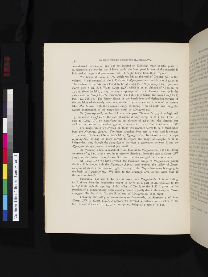
was derived from *China*, and was not entered on European maps of later years. It
is, therefore, no wonder that I have made the best possible use of the material in
information, maps and panoramas that I brought home from these regions.
We begin at *Camp CVIII* which we left at the end of Chapter XII. in this
volume. It was situated on the S. E. shore of *Ngangtse-tso* at an altitude of 4,699 m.
The surface of the lake was found to be at 4,694 m. On *January 18th, 1907*, our
march goes 6 km. S. S. W. to *Camp CIX*, which is at an altitude of 5,189 m., or
495 m. above the lake, giving the very steep slope of 1:12.1. From a point up in the
valley south of *Camp CVIII*, Panorama 123, Tab. 23, is taken, and from *Camp CIX*,
Pan. 124, Tab. 23. The former shows us the beach-lines and desiccation terraces of
the two lakes which nearly touch one another, the latter embraces most of the eastern
lake, *Marchar-tso*, with the mountain range bordering it on its north and being the
eastern continuation of the range just north of *Ngangtse-tso*.
On *January 19th*, we had 1 km. to the pass *Chapkar-la*, 5,326 m. high and
137 m. above *Camp CIX*; the rate of ascent is very steep, or as 1:7.3. From the
pass to *Camp CX* or *Lamblung* at an altitude of 4,895 m., the distance was
9.8 km.; the descent is therefore 431 m., at a rate of 1:22.7. The direction is S. S. W.
The range which we crossed on these two marches seems to be a ramification
from the *Ngangtse Range*. The latter stretches from east to west, and is situated
to the south of three of Nain Sing's lakes, *Ngangtse-tso*, *Marchar-tso* and, perhaps,
*Kyaring-tso*. It may be more correct to regard the range of *Chapkar-la* as an
independent one, though the *Pongchen-la* indicates a connection between it and the
*Ngangtse Range* proper, situated just south of it.
On *January 22nd*, a march of 5 km. took us to *Pongchen-la*, 5,371 m., being
an ascent of 476 m. or as 1:10.5 in an easterly direction. From the pass to *Camp CXI*,
5,055 m., the distance was 6.7 km. S. E. and the descent 316 m., or as 1:21.2.
At *Camp CXI* we have crossed the mountain bridge of *Pongchen-la* joining
the first little range with the *Ngangtse Range*, and entered the valley of *Buser-
tsangpo* which is a northern or right tributary to the *Tagrak-tsangpo* belonging to
the basin of *Ngangtse-tso*. We stick to the drainage area of the latter river all
the way to *Sela-la*.
Panorama 119A and B, Tab. 21, is taken from *Pongchen-la*. It is interesting,
for it shows from the dominating height of 5,371 m. a part of *Marchar-tso* to the
N. 64° E. through the opening of the valley of *Titak*; to the S. E. it gives the im-
pression of a comparatively open country, which is partly due to the valley of *Buser-
tsangpo*. To the N. 89° W. the S. W. end of *Ngangtse-tso* is in sight.
Following the valley of *Buser-tsangpo* downwards, on *January 23rd*, from
*Camp CXI* to *Camp CXII*, *Kapchor*, we covered a distance of 12.6 km. to the
S. S. E. and descended to 4,959 m. or 96 m., being at a rate of 1:131.
1
.
.
.
.
|
.
.
.
.
16
.
.
.
.
|
.
.
.
.
29
.
.
.
.
|
.
.
.
.
43
.
.
.
.
|
.
.
.
.
57
.
.
.
.
|
.
.
.
.
68
.
.
.
.
|
.
.
.
.
81
.
.
.
.
|
.
.
.
.
92
.
.
.
.
|
.
.
.
.
107
.
.
.
.
|
.
.
.
.
119
.
.
.
.
|
.
.
.
.
131
.
.
.
.
|
.
.
.
.
144
.
.
.
.
|
.
.
.
.
162
.
.
.
.
|
.
.
.
.
177
.
.
.
.
|
.
.
.
.
190
.
.
.
.
|
.
.
.
.
205
.
.
.
.
|
.
.
.
.
219
.
.
.
.
|
.
.
.
.
230
.
.
.
.
|
.
.
.
.
241
.
.
.
.
|
.
.
.
.
253
.
.
.
.
|
.
.
.
.
266
.
.
.
.
|
.
.
.
.
279
.
.
.
.
|
.
.
.
.
291
.
.
.
.
|
.
.
.
.
302
.
.
.
.
|
.
.
.
.
315
.
.
.
.
|
.
.
.
.
327
.
.
.
.
|
.
.
.
.
339
.
.
.
.
|
.
.
.
.
354
.
.
.
.
|
.
.
.
.
366
.
.
.
.
|
.
.
.
.
379
.
.
.
.
|
.
.
.
.
393
.
.
.
.
|
.
.
.
.
404
.
.
.
.
|
.
.
.
.
416
.
.
.
.
|
.
.
.
.
429
.
.
.
.
|
.
.
.
.
441
.
.
.
.
|
.
.
.
.
453
.
.
.
.
|
.
.
.
.
464
.
.
.
.
|
.
.
.
.
474
.
.
.
.
|
.
.
.
.
484
.
.
.
.
|
.
.
.
.
495
.
.
.
.
|
.
.
.
.
505
.
.
.
.
|
.
.
.
.
519
.
.
.
.
|
.
.
.
.
529
.
.
.
.
|
.
.
.
.
541
.
.
.
545
547
548
549
550
.
552
.
.
.
.
|
.
.
.
.
568
.
.
.
.
|
.
.
.
.
583
.
.
.
.
|
.
.
.
.
600
.
.
.
.
|
.
.
.
.
615
.
.
.
.
|
.
.
.
.
629
.
.
.
.
|
.
.
.
.
643
.
.
.
.
|
.
.
.
.
654
.
.
.
.
|
.
.
.
.
665
.
.
.
.
|
.
.
.
.
677
.
.
.
.
|
.
.
.
.
692
.
.
.
.
|
.
.
.
.
707
.
.
.
.
|
.
.
.
.
725
.
.
.
.
|
.
.
.
.
736
.
.
.
.
|
.
.
.
.
746
.
.
.
756
Copyright (C) 2003-2026
National Institute of Informatics
and
The Toyo Bunko. All Rights Reserved.