National Institute of Informatics - Digital Silk Road Project
Digital Archive of Toyo Bunko Rare Books
|
|
Color Thumbnail -
Table of Contents -
Page Number -
Biliographic Information (Metadata) -
Caption -
Color Image -
Gray HighRes. Image -
Facing Pages -
Graphics -
| 0624 |
Southern Tibet : vol.4 |
 Citation Information
OCR Text
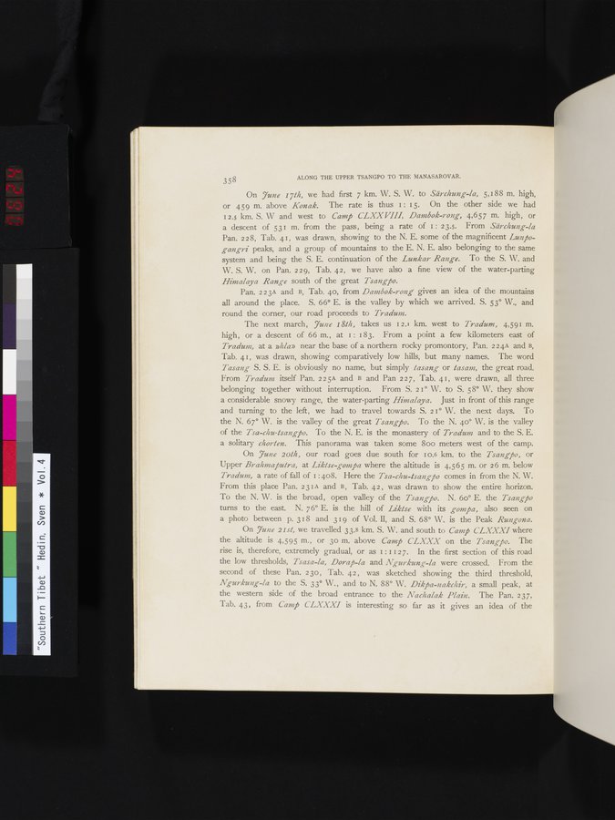
On *June 17th*, we had first 7 km. W. S. W. to *Särchung-la*, 5,188 m. high,
or 459 m. above *Konak*. The rate is thus 1: 15. On the other side we had
12.5 km. S. W and west to *Camp CLXXVIII*, *Dambok-rong*, 4,657 m. high, or
a descent of 531 m. from the pass, being a rate of 1: 23.5. From *Särchung-la*
Pan. 228, Tab. 41, was drawn, showing to the N. E. some of the magnificent *Lunpo-
gangri* peaks, and a group of mountains to the E. N. E. also belonging to the same
system and being the S. E. continuation of the *Lunkar Range*. To the S. W. and
W. S. W. on Pan. 229, Tab. 42, we have also a fine view of the water-parting
*Himalaya Range* south of the great *Tsangpo*.
Pan. 223A and B, Tab. 40, from *Dambok-rong* gives an idea of the mountains
all around the place. S. 66° E. is the valley by which we arrived. S. 53° W., and
round the corner, our road proceeds to *Tradum*.
The next march, *June 18th*, takes us 12.1 km. west to *Tradum*, 4,591 m.
high, or a descent of 66 m., at 1: 183. From a point a few kilometers east of
*Tradum*, at a *nhlan* near the base of a northern rocky promontory, Pan. 224A and B,
Tab. 41, was drawn, showing comparatively low hills, but many names. The word
*Tasang* S. S. E. is obviously no name, but simply *tasang* or *tasam*, the great road.
From *Tradum* itself Pan. 225A and B and Pan 227, Tab. 41, were drawn, all three
belonging together without interruption. From S. 21° W. to S. 58° W. they show
a considerable snowy range, the water-parting *Himalaya*. Just in front of this range
and turning to the left, we had to travel towards S. 21° W. the next days. To
the N. 67° W. is the valley of the great *Tsangpo*. To the N. 40° W. is the valley
of the *Tsa-chu-tsangpo*. To the N. E. is the monastery of *Tradum* and to the S. E.
a solitary *chorten*. This panorama was taken some 800 meters west of the camp.
On *June 20th*, our road goes due south for 10.6 km. to the *Tsangpo*, or
Upper *Brahmaputra*, at *Liktse-gompa* where the altitude is 4,565 m. or 26 m. below
*Tradum*, a rate of fall of 1:408. Here the *Tsa-chu-tsangpo* comes in from the N. W.
From this place Pan. 231A and B, Tab. 42, was drawn to show the entire horizon.
To the N. W. is the broad, open valley of the *Tsangpo*. N. 60° E. the *Tsangpo*
turns to the east. N. 76° E. is the hill of *Liktse* with its *gompa*, also seen on
a photo between p. 318 and 319 of Vol. II, and S. 68° W. is the Peak *Rungona*.
On *June 21st*, we travelled 33.8 km. S. W. and south to *Camp CLXXXI* where
the altitude is 4,595 m., or 30 m. above *Camp CLXXX* on the *Tsangpo*. The
rise is, therefore, extremely gradual, or as 1:1127. In the first section of this road
the low thresholds, *Tsasa-la*, *Dorap-la* and *Ngurkung-la* were crossed. From the
second of these Pan. 230, Tab. 42, was sketched showing the third threshold,
*Ngurkung-la* to the S. 33° W., and to N. 88° W. *Dikpa-nakchir*, a small peak, at
the western side of the broad entrance to the *Nachalak Plain*. The Pan. 237,
Tab. 43, from *Camp CLXXXI* is interesting so far as it gives an idea of the
1
.
.
.
.
|
.
.
.
.
16
.
.
.
.
|
.
.
.
.
29
.
.
.
.
|
.
.
.
.
43
.
.
.
.
|
.
.
.
.
57
.
.
.
.
|
.
.
.
.
68
.
.
.
.
|
.
.
.
.
81
.
.
.
.
|
.
.
.
.
92
.
.
.
.
|
.
.
.
.
107
.
.
.
.
|
.
.
.
.
119
.
.
.
.
|
.
.
.
.
131
.
.
.
.
|
.
.
.
.
144
.
.
.
.
|
.
.
.
.
162
.
.
.
.
|
.
.
.
.
177
.
.
.
.
|
.
.
.
.
190
.
.
.
.
|
.
.
.
.
205
.
.
.
.
|
.
.
.
.
219
.
.
.
.
|
.
.
.
.
230
.
.
.
.
|
.
.
.
.
241
.
.
.
.
|
.
.
.
.
253
.
.
.
.
|
.
.
.
.
266
.
.
.
.
|
.
.
.
.
279
.
.
.
.
|
.
.
.
.
291
.
.
.
.
|
.
.
.
.
302
.
.
.
.
|
.
.
.
.
315
.
.
.
.
|
.
.
.
.
327
.
.
.
.
|
.
.
.
.
339
.
.
.
.
|
.
.
.
.
354
.
.
.
.
|
.
.
.
.
366
.
.
.
.
|
.
.
.
.
379
.
.
.
.
|
.
.
.
.
393
.
.
.
.
|
.
.
.
.
404
.
.
.
.
|
.
.
.
.
416
.
.
.
.
|
.
.
.
.
429
.
.
.
.
|
.
.
.
.
441
.
.
.
.
|
.
.
.
.
453
.
.
.
.
|
.
.
.
.
464
.
.
.
.
|
.
.
.
.
474
.
.
.
.
|
.
.
.
.
484
.
.
.
.
|
.
.
.
.
495
.
.
.
.
|
.
.
.
.
505
.
.
.
.
|
.
.
.
.
519
.
.
.
.
|
.
.
.
.
529
.
.
.
.
|
.
.
.
.
541
.
.
.
.
|
.
.
.
.
552
.
.
.
.
|
.
.
.
.
568
.
.
.
.
|
.
.
.
.
583
.
.
.
.
|
.
.
.
.
600
.
.
.
.
|
.
.
.
.
615
.
.
.
.
622
623
624
626
627
629
.
.
.
.
|
.
.
.
.
643
.
.
.
.
|
.
.
.
.
654
.
.
.
.
|
.
.
.
.
665
.
.
.
.
|
.
.
.
.
677
.
.
.
.
|
.
.
.
.
692
.
.
.
.
|
.
.
.
.
707
.
.
.
.
|
.
.
.
.
725
.
.
.
.
|
.
.
.
.
736
.
.
.
.
|
.
.
.
.
746
.
.
.
756
Copyright (C) 2003-2026
National Institute of Informatics
and
The Toyo Bunko. All Rights Reserved.