National Institute of Informatics - Digital Silk Road Project
Digital Archive of Toyo Bunko Rare Books
|
|
Color Thumbnail -
Table of Contents -
Page Number -
Biliographic Information (Metadata) -
Caption -
Color Image -
Gray HighRes. Image -
Facing Pages -
Graphics -
| 0641 |
Southern Tibet : vol.4 |
 Citation Information
OCR Text
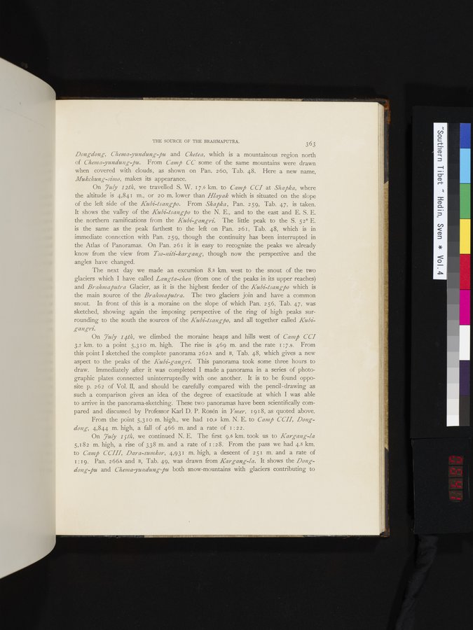
*Dongdong*, *Chema-yundung-pu* and *Chetea*, which is a mountainous region north
of *Chema-yundung-pu*. From *Camp CC* some of the same mountains were drawn
when covered with clouds, as shown on Pan. 260, Tab. 48. Here a new name,
*Mukchung-simo*, makes its appearance.
On *July 12th*, we travelled S. W. 17.6 km. to *Camp CCI* at *Shapka*, where
the altitude is 4,841 m., or 20 m. lower than *Hlayak* which is situated on the slope
of the left side of the *Kubi-tsangpo*. From *Shapka*, Pan. 259, Tab. 47, is taken.
It shows the valley of the *Kubi-tsangpo* to the N. E., and to the east and E. S. E.
the northern ramifications from the *Kubi-gangri*. The little peak to the S. 52° E.
is the same as the peak farthest to the left on Pan. 261, Tab. 48, which is in
immediate connection with Pan. 259, though the continuity has been interrupted in
the Atlas of Panoramas. On Pan. 261 it is easy to recognize the peaks we already
know from the view from *Tso-niti-kargang*, though now the perspective and the
angles have changed.
The next day we made an excursion 8.8 km. west to the snout of the two
glaciers which I have called *Langta-chen* (from one of the peaks in its upper reaches)
and *Brahmaputra* Glacier, as it is the highest feeder of the *Kubi-tsangpo* which is
the main source of the *Brahmaputra*. The two glaciers join and have a common
snout. In front of this is a moraine on the slope of which Pan. 256, Tab. 47, was
sketched, showing again the imposing perspective of the ring of high peaks sur-
rounding to the south the sources of the *Kubi-tsangpo*, and all together called *Kubi-
gangri*.
On *July 14th*, we climbed the moraine heaps and hills west of *Camp CCI*
3.7 km. to a point 5,310 m. high. The rise is 469 m. and the rate 1:7.9. From
this point I sketched the complete panorama 262A and B, Tab. 48, which gives a new
aspect to the peaks of the *Kubi-gangri*. This panorama took some three hours to
draw. Immediately after it was completed I made a panorama in a series of photo-
graphic plates connected uninterruptedly with one another. It is to be found oppo-
site p. 262 of Vol. II, and should be carefully compared with the pencil-drawing as
such a comparison gives an idea of the degree of exactitude at which I was able
to arrive in the panorama-sketching. These two panoramas have been scientifically com-
pared and discussed by Professor Karl D. P. Rosén in *Ymer*, 1918, as quoted above.
From the point 5,310 m. high., we had 10.2 km. N. E. to *Camp CCII*, *Dong-
dong*, 4,844 m. high, a fall of 466 m. and a rate of 1:22.
On *July 15th*, we continued N. E. The first 9.6 km. took us to *Kargang-la*
5,182 m. high, a rise of 338 m. and a rate of 1:28. From the pass we had 4.8 km.
to *Camp CCIII*, *Dara-sumkor*, 4,931 m. high, a descent of 251 m. and a rate of
1:19. Pan. 266A and B, Tab. 49, was drawn from *Kargang-la*. It shows the *Dong-
dong-pu* and *Chema-yundung-pu* both snow-mountains with glaciers contributing to
1
.
.
.
.
|
.
.
.
.
16
.
.
.
.
|
.
.
.
.
29
.
.
.
.
|
.
.
.
.
43
.
.
.
.
|
.
.
.
.
57
.
.
.
.
|
.
.
.
.
68
.
.
.
.
|
.
.
.
.
81
.
.
.
.
|
.
.
.
.
92
.
.
.
.
|
.
.
.
.
107
.
.
.
.
|
.
.
.
.
119
.
.
.
.
|
.
.
.
.
131
.
.
.
.
|
.
.
.
.
144
.
.
.
.
|
.
.
.
.
162
.
.
.
.
|
.
.
.
.
177
.
.
.
.
|
.
.
.
.
190
.
.
.
.
|
.
.
.
.
205
.
.
.
.
|
.
.
.
.
219
.
.
.
.
|
.
.
.
.
230
.
.
.
.
|
.
.
.
.
241
.
.
.
.
|
.
.
.
.
253
.
.
.
.
|
.
.
.
.
266
.
.
.
.
|
.
.
.
.
279
.
.
.
.
|
.
.
.
.
291
.
.
.
.
|
.
.
.
.
302
.
.
.
.
|
.
.
.
.
315
.
.
.
.
|
.
.
.
.
327
.
.
.
.
|
.
.
.
.
339
.
.
.
.
|
.
.
.
.
354
.
.
.
.
|
.
.
.
.
366
.
.
.
.
|
.
.
.
.
379
.
.
.
.
|
.
.
.
.
393
.
.
.
.
|
.
.
.
.
404
.
.
.
.
|
.
.
.
.
416
.
.
.
.
|
.
.
.
.
429
.
.
.
.
|
.
.
.
.
441
.
.
.
.
|
.
.
.
.
453
.
.
.
.
|
.
.
.
.
464
.
.
.
.
|
.
.
.
.
474
.
.
.
.
|
.
.
.
.
484
.
.
.
.
|
.
.
.
.
495
.
.
.
.
|
.
.
.
.
505
.
.
.
.
|
.
.
.
.
519
.
.
.
.
|
.
.
.
.
529
.
.
.
.
|
.
.
.
.
541
.
.
.
.
|
.
.
.
.
552
.
.
.
.
|
.
.
.
.
568
.
.
.
.
|
.
.
.
.
583
.
.
.
.
|
.
.
.
.
600
.
.
.
.
|
.
.
.
.
615
.
.
.
.
|
.
.
.
.
629
.
.
.
.
|
637
639
641
642
643
.
.
.
.
|
.
.
.
.
654
.
.
.
.
|
.
.
.
.
665
.
.
.
.
|
.
.
.
.
677
.
.
.
.
|
.
.
.
.
692
.
.
.
.
|
.
.
.
.
707
.
.
.
.
|
.
.
.
.
725
.
.
.
.
|
.
.
.
.
736
.
.
.
.
|
.
.
.
.
746
.
.
.
756
Copyright (C) 2003-2026
National Institute of Informatics
and
The Toyo Bunko. All Rights Reserved.