National Institute of Informatics - Digital Silk Road Project
Digital Archive of Toyo Bunko Rare Books
|
|
Color Thumbnail -
Table of Contents -
Page Number -
Biliographic Information (Metadata) -
Caption -
Color Image -
Gray HighRes. Image -
Facing Pages -
Graphics -
| 0649 |
Southern Tibet : vol.4 |
 Citation Information
OCR Text
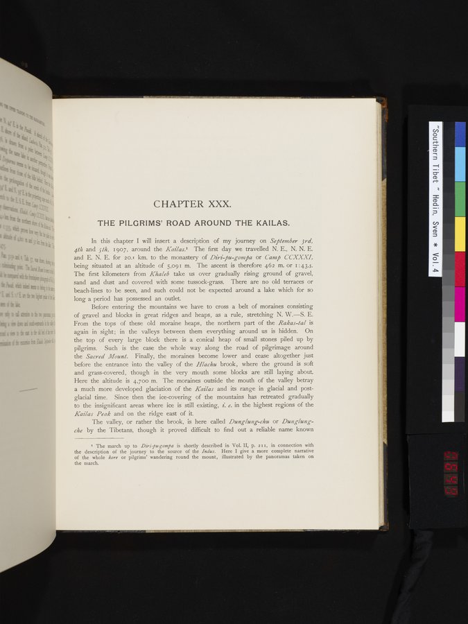
CHAPTER XXX.
THE PILGRIMS' ROAD AROUND THE KAILAS.
In this chapter I will insert a description of my journey on September 3rd,
4th and 5th, 1907, around the Kailas.¹ The first day we travelled N. E., N. N. E.
and E. N. E. for 20.1 km. to the monastery of Diri-pu-gompa or Camp CCXXXI,
being situated at an altitude of 5,091 m. The ascent is therefore 462 m. or 1:43.5.
The first kilometers from Khaleb take us over gradually rising ground of gravel,
sand and dust and covered with some tussock-grass. There are no old terraces or
beach-lines to be seen, and such could not be expected around a lake which for so
long a period has possessed an outlet.
Before entering the mountains we have to cross a belt of moraines consisting
of gravel and blocks in great ridges and heaps, as a rule, stretching N. W.—S. E.
From the tops of these old moraine heaps, the northern part of the Rakas-tal is
again in sight; in the valleys between them everything around us is hidden. On
the top of every large block there is a conical heap of small stones piled up by
pilgrims. Such is the case the whole way along the road of pilgrimage around
the Sacred Mount. Finally, the moraines become lower and cease altogether just
before the entrance into the valley of the Hlachu brook, where the ground is soft
and grass-covered, though in the very mouth some blocks are still laying about.
Here the altitude is 4,700 m. The moraines outside the mouth of the valley betray
a much more developed glaciation of the Kailas and its range in glacial and post-
glacial time. Since then the ice-covering of the mountains has retreated gradually
to the insignificant areas where ice is still existing, i. e. in the highest regions of the
Kailas Peak and on the ridge east of it.
The valley, or rather the brook, is here called Dunglung-chu or Dunglung-
che by the Tibetans, though it proved difficult to find out a reliable name known
1
.
.
.
.
|
.
.
.
.
16
.
.
.
.
|
.
.
.
.
29
.
.
.
.
|
.
.
.
.
43
.
.
.
.
|
.
.
.
.
57
.
.
.
.
|
.
.
.
.
68
.
.
.
.
|
.
.
.
.
81
.
.
.
.
|
.
.
.
.
92
.
.
.
.
|
.
.
.
.
107
.
.
.
.
|
.
.
.
.
119
.
.
.
.
|
.
.
.
.
131
.
.
.
.
|
.
.
.
.
144
.
.
.
.
|
.
.
.
.
162
.
.
.
.
|
.
.
.
.
177
.
.
.
.
|
.
.
.
.
190
.
.
.
.
|
.
.
.
.
205
.
.
.
.
|
.
.
.
.
219
.
.
.
.
|
.
.
.
.
230
.
.
.
.
|
.
.
.
.
241
.
.
.
.
|
.
.
.
.
253
.
.
.
.
|
.
.
.
.
266
.
.
.
.
|
.
.
.
.
279
.
.
.
.
|
.
.
.
.
291
.
.
.
.
|
.
.
.
.
302
.
.
.
.
|
.
.
.
.
315
.
.
.
.
|
.
.
.
.
327
.
.
.
.
|
.
.
.
.
339
.
.
.
.
|
.
.
.
.
354
.
.
.
.
|
.
.
.
.
366
.
.
.
.
|
.
.
.
.
379
.
.
.
.
|
.
.
.
.
393
.
.
.
.
|
.
.
.
.
404
.
.
.
.
|
.
.
.
.
416
.
.
.
.
|
.
.
.
.
429
.
.
.
.
|
.
.
.
.
441
.
.
.
.
|
.
.
.
.
453
.
.
.
.
|
.
.
.
.
464
.
.
.
.
|
.
.
.
.
474
.
.
.
.
|
.
.
.
.
484
.
.
.
.
|
.
.
.
.
495
.
.
.
.
|
.
.
.
.
505
.
.
.
.
|
.
.
.
.
519
.
.
.
.
|
.
.
.
.
529
.
.
.
.
|
.
.
.
.
541
.
.
.
.
|
.
.
.
.
552
.
.
.
.
|
.
.
.
.
568
.
.
.
.
|
.
.
.
.
583
.
.
.
.
|
.
.
.
.
600
.
.
.
.
|
.
.
.
.
615
.
.
.
.
|
.
.
.
.
629
.
.
.
.
|
.
.
.
.
643
.
.
.
647
648
649
650
651
.
654
.
.
.
.
|
.
.
.
.
665
.
.
.
.
|
.
.
.
.
677
.
.
.
.
|
.
.
.
.
692
.
.
.
.
|
.
.
.
.
707
.
.
.
.
|
.
.
.
.
725
.
.
.
.
|
.
.
.
.
736
.
.
.
.
|
.
.
.
.
746
.
.
.
756
Copyright (C) 2003-2026
National Institute of Informatics
and
The Toyo Bunko. All Rights Reserved.