National Institute of Informatics - Digital Silk Road Project
Digital Archive of Toyo Bunko Rare Books
|
|
Color Thumbnail -
Table of Contents -
Page Number -
Biliographic Information (Metadata) -
Caption -
Color Image -
Gray HighRes. Image -
Facing Pages -
Graphics -
| 0671 |
Southern Tibet : vol.4 |
 Citation Information
OCR Text
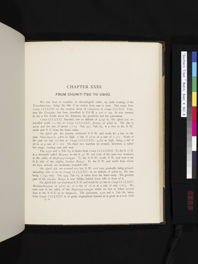
CHAPTER XXXIl.
FROM CHUNIT-TSO TO USHÜ.
We now have to consider, in chronological order, my sixth crossing of the
*Transhimalaya,* being the fifth if we reckon from east to west. This route, from
*Camp CCCLXXI* on the western shore of *Chunit-tso* to *Camp CCCXCV, Ushü,*
near the *Tsangpo,* has been described in Vol. III, p. 316 *et seq.* It now remains
to say a few words about the distances, the gradients and the panoramas.
*Camp CCCLXXI, Sninkuk,* has an altitude of 4,747 m. On *April 3rd,* we
travelled south 11.3 km. to *Camp CCCLXXII, Kemar,* at 4,846 m. The rise is
99 m. and the rate of ascent 1:114. Pan. 451, Tab. 84, is a view to the N. W.,
north and N. E. from the latter camp.
On *April 4th,* the journey continued S. S. W. and south for 4 km. to the
pass, *Nima-lung-la,* 4,882 m. high, a rise of 36 m. at a rate of 1:111. South of
the pass we had 10.8 km. to *Camp CCCLXXIII,* 4,784 m. high, being a fall of
98 m. at a rate of 1:110. On these two marches we crossed, therefore, a rather
low range, running east and west.
Pan. 453A and B, Tab. 85, is drawn from *Camp CCCLXXIII.* To the S. 17°E.
is a mountain called *Ri-sema,* to the S. 33° W. our road of the next day continues
to the valley of *Buptsang-tsangpo.* To the S. S. W., south, S. W. and west is the
N. E. side of the mighty *Lunkar Range.* To the N. W. and north from where
we have arrived, are moderate, rounded hills.
On *April 5th,* we covered 16.4 km. S. W. over very gradually rising ground,
ascending only 22 m. to *Camp CCCLXXIV,* at an altitude of 4,806 m., the rate
being 1:745 only. Pan. 454, Tab. 85, is taken from the latter camp. The greatest
part of the *Lunkar Range* is now hidden behind lower hills in front of it.
On *April 6th,* our road went S. S. W. and south for 9.8 km. to *Camp CCCLXXV,
Monlam-kongma,* at 4,822 m., or a rise of 16 m. at a rate of only 1:613. We
were now in the valley of the *Buptsang-tsangpo* which we had to follow several
days to the S. S. E. up to *Samye-la.* The panorama, 457A and B, Tab. 86, taken
from *Camp CCCLXXV,* is of great orographical interest as it gives us a very vivid
49. IV.
1
.
.
.
.
|
.
.
.
.
16
.
.
.
.
|
.
.
.
.
29
.
.
.
.
|
.
.
.
.
43
.
.
.
.
|
.
.
.
.
57
.
.
.
.
|
.
.
.
.
68
.
.
.
.
|
.
.
.
.
81
.
.
.
.
|
.
.
.
.
92
.
.
.
.
|
.
.
.
.
107
.
.
.
.
|
.
.
.
.
119
.
.
.
.
|
.
.
.
.
131
.
.
.
.
|
.
.
.
.
144
.
.
.
.
|
.
.
.
.
162
.
.
.
.
|
.
.
.
.
177
.
.
.
.
|
.
.
.
.
190
.
.
.
.
|
.
.
.
.
205
.
.
.
.
|
.
.
.
.
219
.
.
.
.
|
.
.
.
.
230
.
.
.
.
|
.
.
.
.
241
.
.
.
.
|
.
.
.
.
253
.
.
.
.
|
.
.
.
.
266
.
.
.
.
|
.
.
.
.
279
.
.
.
.
|
.
.
.
.
291
.
.
.
.
|
.
.
.
.
302
.
.
.
.
|
.
.
.
.
315
.
.
.
.
|
.
.
.
.
327
.
.
.
.
|
.
.
.
.
339
.
.
.
.
|
.
.
.
.
354
.
.
.
.
|
.
.
.
.
366
.
.
.
.
|
.
.
.
.
379
.
.
.
.
|
.
.
.
.
393
.
.
.
.
|
.
.
.
.
404
.
.
.
.
|
.
.
.
.
416
.
.
.
.
|
.
.
.
.
429
.
.
.
.
|
.
.
.
.
441
.
.
.
.
|
.
.
.
.
453
.
.
.
.
|
.
.
.
.
464
.
.
.
.
|
.
.
.
.
474
.
.
.
.
|
.
.
.
.
484
.
.
.
.
|
.
.
.
.
495
.
.
.
.
|
.
.
.
.
505
.
.
.
.
|
.
.
.
.
519
.
.
.
.
|
.
.
.
.
529
.
.
.
.
|
.
.
.
.
541
.
.
.
.
|
.
.
.
.
552
.
.
.
.
|
.
.
.
.
568
.
.
.
.
|
.
.
.
.
583
.
.
.
.
|
.
.
.
.
600
.
.
.
.
|
.
.
.
.
615
.
.
.
.
|
.
.
.
.
629
.
.
.
.
|
.
.
.
.
643
.
.
.
.
|
.
.
.
.
654
.
.
.
.
|
.
.
.
.
665
.
667
669
671
672
673
.
.
.
677
.
.
.
.
|
.
.
.
.
692
.
.
.
.
|
.
.
.
.
707
.
.
.
.
|
.
.
.
.
725
.
.
.
.
|
.
.
.
.
736
.
.
.
.
|
.
.
.
.
746
.
.
.
756
Copyright (C) 2003-2026
National Institute of Informatics
and
The Toyo Bunko. All Rights Reserved.