国立情報学研究所 - ディジタル・シルクロード・プロジェクト
『東洋文庫所蔵』貴重書デジタルアーカイブ
|
|
カラー画像サムネイル -
目次 -
ページ番号 -
書誌情報(メタデータ) -
キャプション -
カラー画像 -
白黒高解像度画像 -
見開きページ -
グラフィック -
| 0356 |
Report of a Mission to Yarkund in 1873 : vol.1 |
| 1873年ヤルカンド派遣報告 : vol.1 |
 引用情報
OCR読み取り結果
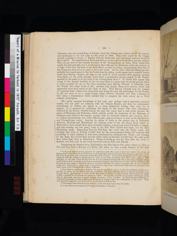
Habibúla, who was elected King of Khotan when the Chinese were turned out of the country,
sent messengers to try and open up this route in 1864. They were seized by the Chang-
pa and compelled to return to Khotan with the threat that any subsequent explorers would be
put to death. The inhabitants of Keria and Polu go as far south as Ghubolik to procure sulphur.
They also go west of this towards the head of the Yurung-Kash (or Ilehi) River where they
search for gold and jade, but it would appear that although the Khotanese claim the country up
to Lake Yeshil Kul, the head of the Kiria River, as their boundary, yet practically from fear of
the Chang-pas they never go quite so far to the south. On the other hand the Chang-pas who
probably have equal reason to fear the Turks from the plains, would appear not to wander further
north than Rikong Chumik, the ridge to the north of which separates their grazing grounds
from plains on the north, through which flows a considerable stream, passed by the Pundit,
asserted by his guide to be the head of the Yurung-Kash River.* It would thus appear that
owing to the mutual hostility of the two races there is a large tract of neutral ground which
is never occupied by one or the other, extending from Rikong Chumik to Ghubolik ; here
the Pundit saw large herds of yák, antelope, and jungle sheep (ovis ammon), which had
apparently never been scared by the sight of man. Near Rikong Chumik were the remains
of numerous huts ; others were frequently seen along the road, but fortunately for the Pundit,
he did not meet or see a single human being between Ghubolik and Noh, a distance of
244 miles, a circumstance which enabled him to complete his route survey up to Noh†
without interruption.
The newly acquired knowledge of this road may perhaps lead to important practical
results, but not until our relations with the Chinese Empire, and their too independent
subordinates in Thibet, are placed on a more satisfactory footing than they are at
present. It is apparent by combining the results of this survey with other information
collected by the Survey Pundits during the past few years, that a road exists between the
plains of Hindustan and Turkestan which entirely avoids the territories of the Maharaja of
Cashmere, and which in the summer months may be traversed without once crossing snow,
or without encountering one really difficult pass, such as we know to exist on the Karakorum
and Changchenmo routes. Leaving the plains of India at the ancient city of Najibabad
(between Hurdwar and Moradabad), the starting point of the old Royal Road stated by
Moorcroft to have crossed these same mountain systems, a good road about 210 miles in length,
and only crossing one low pass,‡ leads to the Niti Pass (16,676 feet high) over the main
Himalayan range. Descending from the Niti Pass, due north into the Sutlej valley, and
crossing that river at Totling (12,200 feet) by the iron suspension bridge still existing (said
according to local tradition to have been constructed by Alexander the Great), and crossing
by the Bogo La (19,210 feet) into the Indus valley at Gartokh (14,240 feet), the road would
then follow that river to Demchok.§ Thence it would go over the Jara Pass due north to
Rudokh and Noh, and by the newly surveyed route to Polu and Khotan.
Estimating the distance from Najibabad to the Niti Pass at 210 miles, thence to Noh at
275, and from Noh to Khotan (viâ Keria) 446 miles, we have a total distance of 931 miles
1
.
.
.
.
|
.
.
.
.
12
.
.
.
.
|
.
.
.
.
22
.
.
.
.
|
.
.
.
.
34
.
.
.
.
|
.
.
.
.
45
.
.
.
.
|
.
.
.
.
57
.
.
.
.
|
.
.
.
.
69
.
.
.
.
|
.
.
.
.
80
.
.
.
.
|
.
.
.
.
92
.
.
.
.
|
.
.
.
.
103
.
.
.
.
|
.
.
.
.
114
.
.
.
.
|
.
.
.
.
126
.
.
.
.
|
.
.
.
.
137
.
.
.
.
|
.
.
.
.
148
.
.
.
.
|
.
.
.
.
159
.
.
.
.
|
.
.
.
.
169
.
.
.
.
|
.
.
.
.
179
.
.
.
.
|
.
.
.
.
191
.
.
.
.
|
.
.
.
.
203
.
.
.
.
|
.
.
.
.
214
.
.
.
.
|
.
.
.
.
225
.
.
.
.
|
.
.
.
.
237
.
.
.
.
|
.
.
.
.
248
.
.
.
.
|
.
.
.
.
258
.
.
.
.
|
.
.
.
.
270
.
.
.
.
|
.
.
.
.
281
.
.
.
.
|
.
.
.
.
293
.
.
.
.
|
.
.
.
.
304
.
.
.
.
|
.
.
.
.
316
.
.
.
.
|
.
.
.
.
327
.
.
.
.
|
.
.
.
.
337
.
.
.
.
|
.
.
.
.
350
.
.
354
355
356
357
360
.
.
363
.
.
.
.
|
.
.
.
.
374
.
.
.
.
|
.
.
.
.
385
.
.
.
.
|
.
.
.
.
396
.
.
.
.
|
.
.
.
.
407
.
.
.
.
|
.
.
.
.
419
.
.
.
.
|
.
.
.
.
432
.
.
.
.
|
.
.
.
.
442
.
.
.
.
|
.
.
.
.
452
.
.
.
.
|
.
.
.
.
462
.
.
.
.
|
.
.
.
.
472
.
.
.
.
|
.
.
.
.
482
.
.
.
.
|
.
.
.
.
492
.
.
.
.
|
.
.
.
.
502
.
.
.
.
|
.
.
.
.
512
.
.
.
.
|
.
.
.
.
522
.
.
.
.
|
.
.
.
.
532
.
.
.
.
|
.
.
.
.
542
.
.
.
.
|
.
.
.
.
552
.
.
.
.
|
.
.
.
.
562
.
.
.
.
|
.
.
.
.
572
.
.
.
.
|
.
.
.
.
582
.
.
.
.
|
.
.
.
.
592
.
.
.
.
|
.
.
.
.
602
.
.
.
.
|
.
.
.
.
612
.
.
.
.
|
.
.
.
.
622
.
.
.
.
|
.
.
.
.
632
.
.
.
.
|
.
.
.
.
642
.
.
.
.
|
.
.
.
.
652
.
.
.
.
|
.
.
.
.
662
.
.
.
.
|
.
.
.
.
672
.
.
.
.
|
.
.
.
.
682
.
.
.
.
|
.
.
.
.
692
.
.
.
.
|
.
.
.
.
702
.
.
.
.
|
.
.
.
.
712
.
714
Copyright (C) 2003-2026
National Institute of Informatics(国立情報学研究所)
and
The Toyo Bunko(東洋文庫). All Rights Reserved.
本ウェブサイトに掲載するデジタル文化資源の無断転載は固くお断りいたします。