国立情報学研究所 - ディジタル・シルクロード・プロジェクト
『東洋文庫所蔵』貴重書デジタルアーカイブ
|
|
カラー画像サムネイル -
目次 -
ページ番号 -
書誌情報(メタデータ) -
キャプション -
カラー画像 -
白黒高解像度画像 -
見開きページ -
グラフィック -
| 0364 |
Report of a Mission to Yarkund in 1873 : vol.1 |
| 1873年ヤルカンド派遣報告 : vol.1 |
 引用情報
OCR読み取り結果
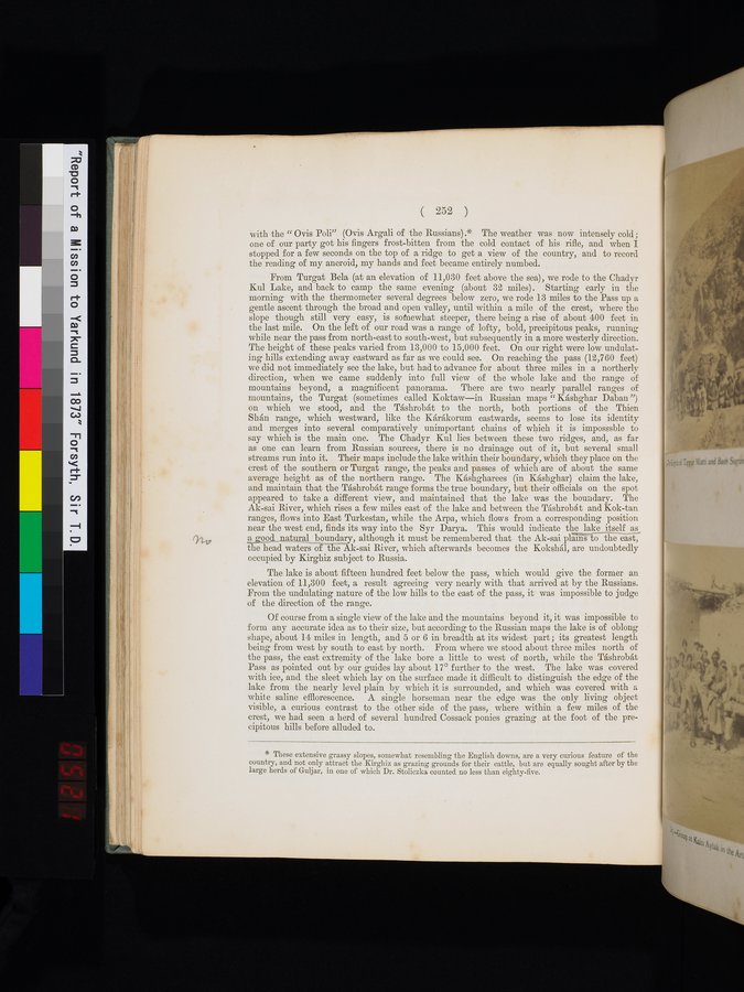
with the "Ovis Poli" (Ovis Argali of the Russians).* The weather was now intensely cold;
one of our party got his fingers frost-bitten from the cold contact of his rifle, and when I
stopped for a few seconds on the top of a ridge to get a view of the country, and to record
the reading of my aneroid, my hands and feet became entirely numbed.
From Turgat Bela (at an elevation of 11,030 feet above the sea), we rode to the Chadyr
Kul Lake, and back to camp the same evening (about 32 miles). Starting early in the
morning with the thermometer several degrees below zero, we rode 13 miles to the Pass up a
gentle ascent through the broad and open valley, until within a mile of the crest, where the
slope though still very easy, is somewhat steeper, there being a rise of about 400 feet in
the last mile. On the left of our road was a range of lofty, bold, precipitous peaks, running
while near the pass from north-east to south-west, but subsequently in a more westerly direction.
The height of these peaks varied from 13,000 to 15,000 feet. On our right were low undulat-
ing hills extending away eastward as far as we could see. On reaching the pass (12,760 feet)
we did not immediately see the lake, but had to advance for about three miles in a northerly
direction, when we came suddenly into full view of the whole lake and the range of
mountains beyond, a magnificent panorama. There are two nearly parallel ranges of
mountains, the Turgat (sometimes called Koktaw—in Russian maps "Káshghar Daban")
on which we stood, and the Táshrobát to the north, both portions of the Thien
Shán range, which westward, like the Kárákorum eastwards, seems to lose its identity
and merges into several comparatively unimportant chains of which it is impossible to
say which is the main one. The Chadyr Kul lies between these two ridges, and, as far
as one can learn from Russian sources, there is no drainage out of it, but several small
streams run into it. Their maps include the lake within their boundary, which they place on the
crest of the southern or Turgat range, the peaks and passes of which are of about the same
average height as of the northern range. The Káshgharees (in Káshghar) claim the lake,
and maintain that the Táshrobát range forms the true boundary, but their officials on the spot
appeared to take a different view, and maintained that the lake was the boundary. The
Ak-sai River, which rises a few miles east of the lake and between the Táshrobát and Kok-tan
ranges, flows into East Turkestan, while the Arpa, which flows from a corresponding position
near the west end, finds its way into the Syr Darya. This would indicate the lake itself as
a good natural boundary, although it must be remembered that the Ak-sai plains to the east,
the head waters of the Ak-sai River, which afterwards becomes the Kokshál, are undoubtedly
occupied by Kirghiz subject to Russia.
The lake is about fifteen hundred feet below the pass, which would give the former an
elevation of 11,300 feet, a result agreeing very nearly with that arrived at by the Russians.
From the undulating nature of the low hills to the east of the pass, it was impossible to judge
of the direction of the range.
Of course from a single view of the lake and the mountains beyond it, it was impossible to
form any accurate idea as to their size, but according to the Russian maps the lake is of oblong
shape, about 14 miles in length, and 5 or 6 in breadth at its widest part; its greatest length
being from west by south to east by north. From where we stood about three miles north of
the pass, the east extremity of the lake bore a little to west of north, while the Táshrobát
Pass as pointed out by our guides lay about 17° further to the west. The lake was covered
with ice, and the sleet which lay on the surface made it difficult to distinguish the edge of the
lake from the nearly level plain by which it is surrounded, and which was covered with a
white saline efflorescence. A single horseman near the edge was the only living object
visible, a curious contrast to the other side of the pass, where within a few miles of the
crest, we had seen a herd of several hundred Cossack ponies grazing at the foot of the pre-
cipitous hills before alluded to.
1
.
.
.
.
|
.
.
.
.
12
.
.
.
.
|
.
.
.
.
22
.
.
.
.
|
.
.
.
.
34
.
.
.
.
|
.
.
.
.
45
.
.
.
.
|
.
.
.
.
57
.
.
.
.
|
.
.
.
.
69
.
.
.
.
|
.
.
.
.
80
.
.
.
.
|
.
.
.
.
92
.
.
.
.
|
.
.
.
.
103
.
.
.
.
|
.
.
.
.
114
.
.
.
.
|
.
.
.
.
126
.
.
.
.
|
.
.
.
.
137
.
.
.
.
|
.
.
.
.
148
.
.
.
.
|
.
.
.
.
159
.
.
.
.
|
.
.
.
.
169
.
.
.
.
|
.
.
.
.
179
.
.
.
.
|
.
.
.
.
191
.
.
.
.
|
.
.
.
.
203
.
.
.
.
|
.
.
.
.
214
.
.
.
.
|
.
.
.
.
225
.
.
.
.
|
.
.
.
.
237
.
.
.
.
|
.
.
.
.
248
.
.
.
.
|
.
.
.
.
258
.
.
.
.
|
.
.
.
.
270
.
.
.
.
|
.
.
.
.
281
.
.
.
.
|
.
.
.
.
293
.
.
.
.
|
.
.
.
.
304
.
.
.
.
|
.
.
.
.
316
.
.
.
.
|
.
.
.
.
327
.
.
.
.
|
.
.
.
.
337
.
.
.
.
|
.
.
.
.
350
.
.
.
.
|
.
.
.
362
363
364
365
367
.
|
.
.
.
.
374
.
.
.
.
|
.
.
.
.
385
.
.
.
.
|
.
.
.
.
396
.
.
.
.
|
.
.
.
.
407
.
.
.
.
|
.
.
.
.
419
.
.
.
.
|
.
.
.
.
432
.
.
.
.
|
.
.
.
.
442
.
.
.
.
|
.
.
.
.
452
.
.
.
.
|
.
.
.
.
462
.
.
.
.
|
.
.
.
.
472
.
.
.
.
|
.
.
.
.
482
.
.
.
.
|
.
.
.
.
492
.
.
.
.
|
.
.
.
.
502
.
.
.
.
|
.
.
.
.
512
.
.
.
.
|
.
.
.
.
522
.
.
.
.
|
.
.
.
.
532
.
.
.
.
|
.
.
.
.
542
.
.
.
.
|
.
.
.
.
552
.
.
.
.
|
.
.
.
.
562
.
.
.
.
|
.
.
.
.
572
.
.
.
.
|
.
.
.
.
582
.
.
.
.
|
.
.
.
.
592
.
.
.
.
|
.
.
.
.
602
.
.
.
.
|
.
.
.
.
612
.
.
.
.
|
.
.
.
.
622
.
.
.
.
|
.
.
.
.
632
.
.
.
.
|
.
.
.
.
642
.
.
.
.
|
.
.
.
.
652
.
.
.
.
|
.
.
.
.
662
.
.
.
.
|
.
.
.
.
672
.
.
.
.
|
.
.
.
.
682
.
.
.
.
|
.
.
.
.
692
.
.
.
.
|
.
.
.
.
702
.
.
.
.
|
.
.
.
.
712
.
714
Copyright (C) 2003-2026
National Institute of Informatics(国立情報学研究所)
and
The Toyo Bunko(東洋文庫). All Rights Reserved.
本ウェブサイトに掲載するデジタル文化資源の無断転載は固くお断りいたします。