国立情報学研究所 - ディジタル・シルクロード・プロジェクト
『東洋文庫所蔵』貴重書デジタルアーカイブ
|
|
カラー画像サムネイル -
目次 -
ページ番号 -
書誌情報(メタデータ) -
キャプション -
カラー画像 -
白黒高解像度画像 -
見開きページ -
グラフィック -
| 0370 |
Report of a Mission to Yarkund in 1873 : vol.1 |
| 1873年ヤルカンド派遣報告 : vol.1 |
 引用情報
OCR読み取り結果
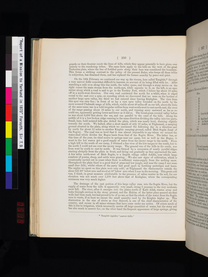
guards on their frontier inside the lines of hills, which they appear generally to have given over
entirely to the wandering tribes. The same facts apply to the hills on the west of the great
Turkestan plain, where the line of fortified posts along their base was considered the boundary.
This forms a striking contrast to the policy of the present Ruler, who keeps all these tribes
in subjection, has disarmed them, and has replaced the former anarchy by peace and quiet.
On the 19th February we continued our way up the stream, here called Tangitár,* through
a very narrow defile somewhat difficult to traverse on account of its being filled with ice. After
marching a mile or so along this due north, the valley opens, and through a stony ravine on the
right comes the main stream from the north-east, while opposite to it, on the left, is an open
ravine along which a road is said to go to the Terekty Fort, which I believe lay about 10 miles
off in a north-west direction. Our own road continued due north for a while, when it edged
round to the east over a spur, on rounding which we discovered that we were on the borders of
another large open valley, the third we had entered since leaving Káshghar. The view from
this spur was very fine; in front of us lay a vast open valley bounded on the north by the
snow covered Chakmák range of hills, which, visible about 40 miles off on our left, above the forts
of the same name ran in a bold irregular outline from west-south-west to east-north-east, the crest
of the range passing about 16 miles to our north, and running away eastward as far as we
could see, apparently getting lower and lower as it did so. The broad grass covered valley before
us was about 6,000 feet above the sea, and ran parallel to the crest of the hills. Along the
middle of it is a low broken ridge running in the same direction dividing the valley into two parts.
Small, bare, bold isolated hills also dotted the plain, which was nearly level, draining slightly
towards the south. We halted, after a short march of only 10 miles, at Túghamatí, a camping
ground situated in the plain, along which we continued the following day in a direction east
by north for about 15 miles to another Kirghiz camping ground, called Básh Sogón (head of
the Sogón). The road was so level that it was almost impossible to say where we crossed the
water-shed which divides the Bogoz basin from that of the Sogón River. The latter has, at
this time of the year, its chief source in springs near our camp, but as well as the Bogoz, it
must, in the hot season, get a good supply of water from the snowy range to the north. From
a high hill to the south of our camp, I obtained a fine view of the low ranges to the south, but to
the north I could not see over the snowy range. The general run of the hills to the south, was
from west by south to east by north. It was formed by a succession of nearly parallel ridges
starting abruptly from the plain in front, and dying out gradually as they approached the east.
A few miles north-west of Básh Sogón, is a largish village called Arkála, near which large
numbers of ponies, sheep, and cattle were grazing. We also saw signs of cultivation, which is
occasionally carried out in years when there is sufficient water-supply from the melting snow.
Throughout the plain there is a good deal of grass and low jungle, and near the camp I saw some
small deer (kík), whilst others of the party had good sport in hawking partridges and hares.
The nights we spent on this plain were very cold; at Túghamatí the thermometer outside the
akooe fell 20° below zero and stood at 16° below zero when I rose in the morning. This great cold
was, I think, in great measure attributable to the presence of saline matter in the soil, for our
elevation was not much over 1,200 feet above that of Káshghar, where the corresponding
minimum was very much higher.
The drainage of the east portion of this large valley runs into the Sogón River, but the
supply of water from the hills is apparently very small, owing I presume to the very moderate
snow fall. The river, after it emerges into the plains north of Kalti Ailak, wastes away and
leaks through crevices in the stony ground, and the Hakim of the latter place assured me that
wells had been sunk, but had proved to be of no use, so that the whole of the water from the Sogón
runs to waste, if at least we except the small quantity used by the Kirghiz higher up. This
diminution in the size of rivers as they descend, is one of the chief characteristics of the
country, and occurs in all minor streams that have come under my notice. Of course much of
this is due to irrigation, which necessarily carries off large quantities of water, but the stony soil
has also much to answer for; on the other hand the frequent appearance of large springs, giving
1
.
.
.
.
|
.
.
.
.
12
.
.
.
.
|
.
.
.
.
22
.
.
.
.
|
.
.
.
.
34
.
.
.
.
|
.
.
.
.
45
.
.
.
.
|
.
.
.
.
57
.
.
.
.
|
.
.
.
.
69
.
.
.
.
|
.
.
.
.
80
.
.
.
.
|
.
.
.
.
92
.
.
.
.
|
.
.
.
.
103
.
.
.
.
|
.
.
.
.
114
.
.
.
.
|
.
.
.
.
126
.
.
.
.
|
.
.
.
.
137
.
.
.
.
|
.
.
.
.
148
.
.
.
.
|
.
.
.
.
159
.
.
.
.
|
.
.
.
.
169
.
.
.
.
|
.
.
.
.
179
.
.
.
.
|
.
.
.
.
191
.
.
.
.
|
.
.
.
.
203
.
.
.
.
|
.
.
.
.
214
.
.
.
.
|
.
.
.
.
225
.
.
.
.
|
.
.
.
.
237
.
.
.
.
|
.
.
.
.
248
.
.
.
.
|
.
.
.
.
258
.
.
.
.
|
.
.
.
.
270
.
.
.
.
|
.
.
.
.
281
.
.
.
.
|
.
.
.
.
293
.
.
.
.
|
.
.
.
.
304
.
.
.
.
|
.
.
.
.
316
.
.
.
.
|
.
.
.
.
327
.
.
.
.
|
.
.
.
.
337
.
.
.
.
|
.
.
.
.
350
.
.
.
.
|
.
.
.
.
363
.
.
.
368
369
370
371
372
.
374
.
.
.
.
|
.
.
.
.
385
.
.
.
.
|
.
.
.
.
396
.
.
.
.
|
.
.
.
.
407
.
.
.
.
|
.
.
.
.
419
.
.
.
.
|
.
.
.
.
432
.
.
.
.
|
.
.
.
.
442
.
.
.
.
|
.
.
.
.
452
.
.
.
.
|
.
.
.
.
462
.
.
.
.
|
.
.
.
.
472
.
.
.
.
|
.
.
.
.
482
.
.
.
.
|
.
.
.
.
492
.
.
.
.
|
.
.
.
.
502
.
.
.
.
|
.
.
.
.
512
.
.
.
.
|
.
.
.
.
522
.
.
.
.
|
.
.
.
.
532
.
.
.
.
|
.
.
.
.
542
.
.
.
.
|
.
.
.
.
552
.
.
.
.
|
.
.
.
.
562
.
.
.
.
|
.
.
.
.
572
.
.
.
.
|
.
.
.
.
582
.
.
.
.
|
.
.
.
.
592
.
.
.
.
|
.
.
.
.
602
.
.
.
.
|
.
.
.
.
612
.
.
.
.
|
.
.
.
.
622
.
.
.
.
|
.
.
.
.
632
.
.
.
.
|
.
.
.
.
642
.
.
.
.
|
.
.
.
.
652
.
.
.
.
|
.
.
.
.
662
.
.
.
.
|
.
.
.
.
672
.
.
.
.
|
.
.
.
.
682
.
.
.
.
|
.
.
.
.
692
.
.
.
.
|
.
.
.
.
702
.
.
.
.
|
.
.
.
.
712
.
714
Copyright (C) 2003-2026
National Institute of Informatics(国立情報学研究所)
and
The Toyo Bunko(東洋文庫). All Rights Reserved.
本ウェブサイトに掲載するデジタル文化資源の無断転載は固くお断りいたします。