国立情報学研究所 - ディジタル・シルクロード・プロジェクト
『東洋文庫所蔵』貴重書デジタルアーカイブ
|
|
カラー画像サムネイル -
目次 -
ページ番号 -
書誌情報(メタデータ) -
キャプション -
カラー画像 -
白黒高解像度画像 -
見開きページ -
グラフィック -
| 0383 |
Report of a Mission to Yarkund in 1873 : vol.1 |
| 1873年ヤルカンド派遣報告 : vol.1 |
 引用情報
OCR読み取り結果
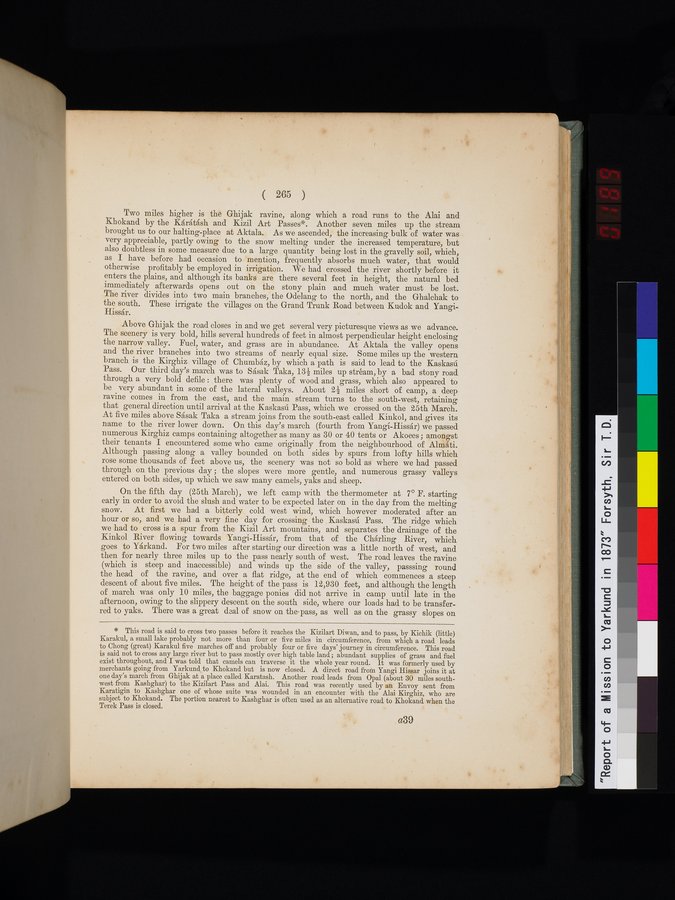
Two miles higher is the Ghijak ravine, along which a road runs to the Alai and
Khokand by the Kárátásh and Kizil Art Passes*. Another seven miles up the stream
brought us to our halting-place at Aktala. As we ascended, the increasing bulk of water was
very appreciable, partly owing to the snow melting under the increased temperature, but
also doubtless in some measure due to a large quantity being lost in the gravelly soil, which,
as I have before had occasion to mention, frequently absorbs much water, that would
otherwise profitably be employed in irrigation. We had crossed the river shortly before it
enters the plains, and although its banks are there several feet in height, the natural bed
immediately afterwards opens out on the stony plain and much water must be lost.
The river divides into two main branches, the Odelang to the north, and the Ghalchak to
the south. These irrigate the villages on the Grand Trunk Road between Kudok and Yangi-
Hissár.
Above Ghijak the road closes in and we get several very picturesque views as we advance.
The scenery is very bold, hills several hundreds of feet in almost perpendicular height enclosing
the narrow valley. Fuel, water, and grass are in abundance. At Aktala the valley opens
and the river branches into two streams of nearly equal size. Some miles up the western
branch is the Kirghiz village of Chumbáz, by which a path is said to lead to the Kaskasú
Pass. Our third day's march was to Sásak Taka, 13½ miles up stréam, by a bad stony road
through a very bold defile: there was plenty of wood and grass, which also appeared to
be very abundant in some of the lateral valleys. About 2¼ miles short of camp, a deep
ravine comes in from the east, and the main stream turns to the south-west, retaining
that general direction until arrival at the Kaskasú Pass, which we crossed on the 25th March.
At five miles above Sásak Taka a stream joins from the south-east called Kinkol, and gives its
name to the river lower down. On this day's march (fourth from Yangí-Hissár) we passed
numerous Kirghiz camps containing altogether as many as 30 or 40 tents or Akoees; amongst
their tenants I encountered some who came originally from the neighbourhood of Almáti.
Although passing along a valley bounded on both sides by spurs from lofty hills which
rose some thousands of feet above us, the scenery was not so bold as where we had passed
through on the previous day; the slopes were more gentle, and numerous grassy valleys
entered on both sides, up which we saw many camels, yaks and sheep.
On the fifth day (25th March), we left camp with the thermometer at 7° F. starting
early in order to avoid the slush and water to be expected later on in the day from the melting
snow. At first we had a bitterly cold west wind, which however moderated after an
hour or so, and we had a very fine day for crossing the Kaskasú Pass. The ridge which
we had to cross is a spur from the Kizil Art mountains, and separates the drainage of the
Kinkol River flowing towards Yangi-Hissár, from that of the Chárling River, which
goes to Yárkand. For two miles after starting our direction was a little north of west, and
then for nearly three miles up to the pass nearly south of west. The road leaves the ravine
(which is steep and inaccessible) and winds up the side of the valley, passsing round
the head of the ravine, and over a flat ridge, at the end of which commences a steep
descent of about five miles. The height of the pass is 12,930 feet, and although the length
of march was only 10 miles, the baggage ponies did not arrive in camp until late in the
afternoon, owing to the slippery descent on the south side, where our loads had to be transfer-
red to yaks. There was a great deal of snow on the pass, as well as on the grassy slopes on
1
.
.
.
.
|
.
.
.
.
12
.
.
.
.
|
.
.
.
.
22
.
.
.
.
|
.
.
.
.
34
.
.
.
.
|
.
.
.
.
45
.
.
.
.
|
.
.
.
.
57
.
.
.
.
|
.
.
.
.
69
.
.
.
.
|
.
.
.
.
80
.
.
.
.
|
.
.
.
.
92
.
.
.
.
|
.
.
.
.
103
.
.
.
.
|
.
.
.
.
114
.
.
.
.
|
.
.
.
.
126
.
.
.
.
|
.
.
.
.
137
.
.
.
.
|
.
.
.
.
148
.
.
.
.
|
.
.
.
.
159
.
.
.
.
|
.
.
.
.
169
.
.
.
.
|
.
.
.
.
179
.
.
.
.
|
.
.
.
.
191
.
.
.
.
|
.
.
.
.
203
.
.
.
.
|
.
.
.
.
214
.
.
.
.
|
.
.
.
.
225
.
.
.
.
|
.
.
.
.
237
.
.
.
.
|
.
.
.
.
248
.
.
.
.
|
.
.
.
.
258
.
.
.
.
|
.
.
.
.
270
.
.
.
.
|
.
.
.
.
281
.
.
.
.
|
.
.
.
.
293
.
.
.
.
|
.
.
.
.
304
.
.
.
.
|
.
.
.
.
316
.
.
.
.
|
.
.
.
.
327
.
.
.
.
|
.
.
.
.
337
.
.
.
.
|
.
.
.
.
350
.
.
.
.
|
.
.
.
.
363
.
.
.
.
|
.
.
.
.
374
.
.
.
.
|
380
381
383
384
385
.
.
.
.
|
.
.
.
.
396
.
.
.
.
|
.
.
.
.
407
.
.
.
.
|
.
.
.
.
419
.
.
.
.
|
.
.
.
.
432
.
.
.
.
|
.
.
.
.
442
.
.
.
.
|
.
.
.
.
452
.
.
.
.
|
.
.
.
.
462
.
.
.
.
|
.
.
.
.
472
.
.
.
.
|
.
.
.
.
482
.
.
.
.
|
.
.
.
.
492
.
.
.
.
|
.
.
.
.
502
.
.
.
.
|
.
.
.
.
512
.
.
.
.
|
.
.
.
.
522
.
.
.
.
|
.
.
.
.
532
.
.
.
.
|
.
.
.
.
542
.
.
.
.
|
.
.
.
.
552
.
.
.
.
|
.
.
.
.
562
.
.
.
.
|
.
.
.
.
572
.
.
.
.
|
.
.
.
.
582
.
.
.
.
|
.
.
.
.
592
.
.
.
.
|
.
.
.
.
602
.
.
.
.
|
.
.
.
.
612
.
.
.
.
|
.
.
.
.
622
.
.
.
.
|
.
.
.
.
632
.
.
.
.
|
.
.
.
.
642
.
.
.
.
|
.
.
.
.
652
.
.
.
.
|
.
.
.
.
662
.
.
.
.
|
.
.
.
.
672
.
.
.
.
|
.
.
.
.
682
.
.
.
.
|
.
.
.
.
692
.
.
.
.
|
.
.
.
.
702
.
.
.
.
|
.
.
.
.
712
.
714
Copyright (C) 2003-2026
National Institute of Informatics(国立情報学研究所)
and
The Toyo Bunko(東洋文庫). All Rights Reserved.
本ウェブサイトに掲載するデジタル文化資源の無断転載は固くお断りいたします。