国立情報学研究所 - ディジタル・シルクロード・プロジェクト
『東洋文庫所蔵』貴重書デジタルアーカイブ
|
|
カラー画像サムネイル -
目次 -
ページ番号 -
書誌情報(メタデータ) -
キャプション -
カラー画像 -
白黒高解像度画像 -
見開きページ -
グラフィック -
| 0558 |
Report of a Mission to Yarkund in 1873 : vol.1 |
| 1873年ヤルカンド派遣報告 : vol.1 |
 引用情報
OCR読み取り結果
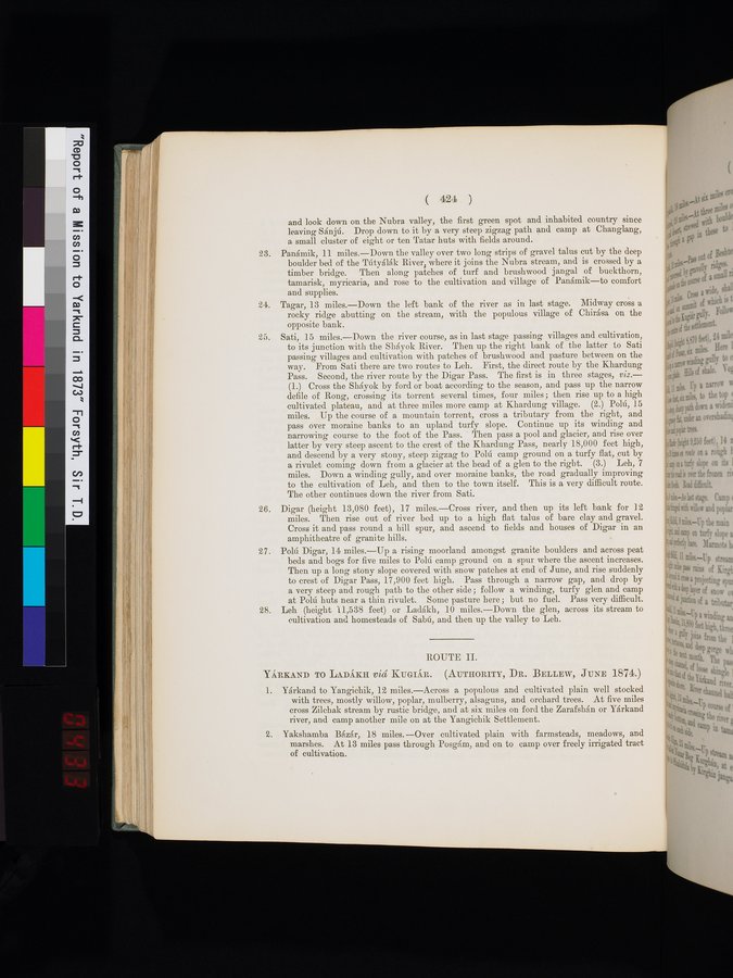
and look down on the Nubra valley, the first green spot and inhabited country since
leaving Sánjú. Drop down to it by a very steep zigzag path and camp at Changlang,
a small cluster of eight or ten Tatar huts with fields around.
23. Panámik, 11 miles.—Down the valley over two long strips of gravel talus cut by the deep
boulder bed of the Tútyálák River, where it joins the Nubra stream, and is crossed by a
timber bridge. Then along patches of turf and brushwood jangal of buckthorn,
tamarisk, myricaria, and rose to the cultivation and village of Panámik—to comfort
and supplies.
24. Tagar, 13 miles.—Down the left bank of the river as in last stage. Midway cross a
rocky ridge abutting on the stream, with the populous village of Chirása on the
opposite bank.
25. Sati, 15 miles.—Down the river course, as in last stage passing villages and cultivation,
to its junction with the Sháyok River. Then up the right bank of the latter to Sati
passing villages and cultivation with patches of brushwood and pasture between on the
way. From Sati there are two routes to Leh. First, the direct route by the Khardung
Pass. Second, the river route by the Digar Pass. The first is in three stages, viz.:—
(1.) Cross the Sháyok by ford or boat according to the season, and pass up the narrow
defile of Rong, crossing its torrent several times, four miles; then rise up to a high
cultivated plateau, and at three miles more camp at Khardung village. (2.) Polú, 15
miles. Up the course of a mountain torrent, cross a tributary from the right, and
pass over moraine banks to an upland turfy slope. Continue up its winding and
narrowing course to the foot of the Pass. Then pass a pool and glacier, and rise over
latter by very steep ascent to the crest of the Khardung Pass, nearly 18,000 feet high,
and descend by a very stony, steep zigzag to Polú camp ground on a turfy flat, cut by
a rivulet coming down from a glacier at the head of a glen to the right. (3.) Leh, 7
miles. Down a winding gully, and over moraine banks, the road gradually improving
to the cultivation of Leh, and then to the town itself. This is a very difficult route.
The other continues down the river from Sati.
26. Digar (height 13,080 feet), 17 miles.—Cross river, and then up its left bank for 12
miles. Then rise out of river bed up to a high flat talus of bare clay and gravel.
Cross it and pass round a hill spur, and ascend to fields and houses of Digar in an
amphitheatre of granite hills.
27. Polú Digar, 14 miles.—Up a rising moorland amongst granite boulders and across peat
beds and bogs for five miles to Polú camp ground on a spur where the ascent increases.
Then up a long stony slope covered with snow patches at end of June, and rise suddenly
to crest of Digar Pass, 17,900 feet high. Pass through a narrow gap, and drop by
a very steep and rough path to the other side; follow a winding, turfy glen and camp
at Polú huts near a thin rivulet. Some pasture here; but no fuel. Pass very difficult.
28. Leh (height 11,538 feet) or Ladákh, 10 miles.—Down the glen, across its stream to
cultivation and homesteads of Sabú, and then up the valley to Leh.
ROUTE II.
Yárkand to Ladákh viâ Kugiár. (Authority, Dr. Bellew, June 1874.)
1. Yárkand to Yangichik, 12 miles.—Across a populous and cultivated plain well stocked
with trees, mostly willow, poplar, mulberry, alsaguns, and orchard trees. At five miles
cross Zilchak stream by rustic bridge, and at six miles on ford the Zarafshán or Yárkand
river, and camp another mile on at the Yangichik Settlement.
2. Yakshamba Bézár, 18 miles.—Over cultivated plain with farmsteads, meadows, and
marshes. At 13 miles pass through Posgám, and on to camp over freely irrigated tract
of cultivation.
1
.
.
.
.
|
.
.
.
.
12
.
.
.
.
|
.
.
.
.
22
.
.
.
.
|
.
.
.
.
34
.
.
.
.
|
.
.
.
.
45
.
.
.
.
|
.
.
.
.
57
.
.
.
.
|
.
.
.
.
69
.
.
.
.
|
.
.
.
.
80
.
.
.
.
|
.
.
.
.
92
.
.
.
.
|
.
.
.
.
103
.
.
.
.
|
.
.
.
.
114
.
.
.
.
|
.
.
.
.
126
.
.
.
.
|
.
.
.
.
137
.
.
.
.
|
.
.
.
.
148
.
.
.
.
|
.
.
.
.
159
.
.
.
.
|
.
.
.
.
169
.
.
.
.
|
.
.
.
.
179
.
.
.
.
|
.
.
.
.
191
.
.
.
.
|
.
.
.
.
203
.
.
.
.
|
.
.
.
.
214
.
.
.
.
|
.
.
.
.
225
.
.
.
.
|
.
.
.
.
237
.
.
.
.
|
.
.
.
.
248
.
.
.
.
|
.
.
.
.
258
.
.
.
.
|
.
.
.
.
270
.
.
.
.
|
.
.
.
.
281
.
.
.
.
|
.
.
.
.
293
.
.
.
.
|
.
.
.
.
304
.
.
.
.
|
.
.
.
.
316
.
.
.
.
|
.
.
.
.
327
.
.
.
.
|
.
.
.
.
337
.
.
.
.
|
.
.
.
.
350
.
.
.
.
|
.
.
.
.
363
.
.
.
.
|
.
.
.
.
374
.
.
.
.
|
.
.
.
.
385
.
.
.
.
|
.
.
.
.
396
.
.
.
.
|
.
.
.
.
407
.
.
.
.
|
.
.
.
.
419
.
.
.
.
|
.
.
.
.
432
.
.
.
.
|
.
.
.
.
442
.
.
.
.
|
.
.
.
.
452
.
.
.
.
|
.
.
.
.
462
.
.
.
.
|
.
.
.
.
472
.
.
.
.
|
.
.
.
.
482
.
.
.
.
|
.
.
.
.
492
.
.
.
.
|
.
.
.
.
502
.
.
.
.
|
.
.
.
.
512
.
.
.
.
|
.
.
.
.
522
.
.
.
.
|
.
.
.
.
532
.
.
.
.
|
.
.
.
.
542
.
.
.
.
|
.
.
.
.
552
.
.
.
556
557
558
559
560
.
562
.
.
.
.
|
.
.
.
.
572
.
.
.
.
|
.
.
.
.
582
.
.
.
.
|
.
.
.
.
592
.
.
.
.
|
.
.
.
.
602
.
.
.
.
|
.
.
.
.
612
.
.
.
.
|
.
.
.
.
622
.
.
.
.
|
.
.
.
.
632
.
.
.
.
|
.
.
.
.
642
.
.
.
.
|
.
.
.
.
652
.
.
.
.
|
.
.
.
.
662
.
.
.
.
|
.
.
.
.
672
.
.
.
.
|
.
.
.
.
682
.
.
.
.
|
.
.
.
.
692
.
.
.
.
|
.
.
.
.
702
.
.
.
.
|
.
.
.
.
712
.
714
Copyright (C) 2003-2026
National Institute of Informatics(国立情報学研究所)
and
The Toyo Bunko(東洋文庫). All Rights Reserved.
本ウェブサイトに掲載するデジタル文化資源の無断転載は固くお断りいたします。