National Institute of Informatics - Digital Silk Road Project
Digital Archive of Toyo Bunko Rare Books
|
|
Color Thumbnail -
Table of Contents -
Page Number -
Biliographic Information (Metadata) -
Caption -
Color Image -
Gray HighRes. Image -
Facing Pages -
Graphics -
| 0307 |
Archaeological Reconnaissances in North-Western India and South-Eastern Īrān : vol.1 |
 Citation Information
OCR Text
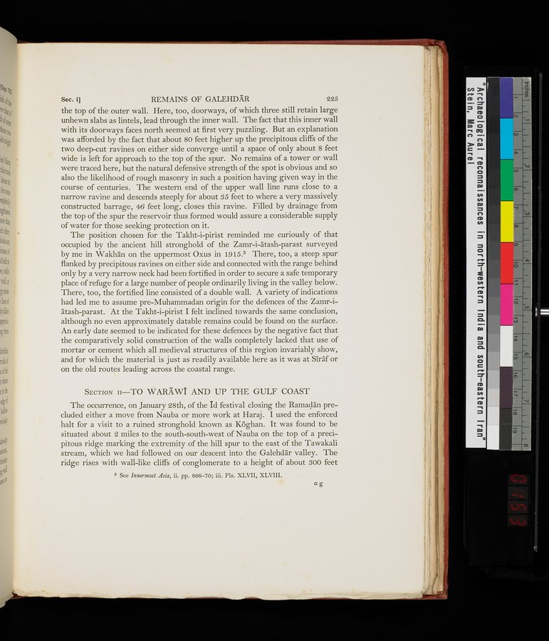
the top of the outer wall. Here, too, doorways, of which three still retain large
unhewn slabs as lintels, lead through the inner wall. The fact that this inner wall
with its doorways faces north seemed at first very puzzling. But an explanation
was afforded by the fact that about 80 feet higher up the precipitous cliffs of the
two deep-cut ravines on either side converge until a space of only about 8 feet
wide is left for approach to the top of the spur. No remains of a tower or wall
were traced here, but the natural defensive strength of the spot is obvious and so
also the likelihood of rough masonry in such a position having given way in the
course of centuries. The western end of the upper wall line runs close to a
narrow ravine and descends steeply for about 35 feet to where a very massively
constructed barrage, 46 feet long, closes this ravine. Filled by drainage from
the top of the spur the reservoir thus formed would assure a considerable supply
of water for those seeking protection on it.
The position chosen for the Takht-i-pirist reminded me curiously of that
occupied by the ancient hill stronghold of the Zamr-i-ātash-parast surveyed
by me in Wakhān on the uppermost Oxus in 1915.³ There, too, a steep spur
flanked by precipitous ravines on either side and connected with the range behind
only by a very narrow neck had been fortified in order to secure a safe temporary
place of refuge for a large number of people ordinarily living in the valley below.
There, too, the fortified line consisted of a double wall. A variety of indications
had led me to assume pre-Muhammadan origin for the defences of the Zamr-i-
ātash-parast. At the Takht-i-pirist I felt inclined towards the same conclusion,
although no even approximately datable remains could be found on the surface.
An early date seemed to be indicated for these defences by the negative fact that
the comparatively solid construction of the walls completely lacked that use of
mortar or cement which all medieval structures of this region invariably show,
and for which the material is just as readily available here as it was at Sīrāf or
on the old routes leading across the coastal range.
Section II—TO WARĀWĪ AND UP THE GULF COAST
The occurrence, on January 28th, of the Īd festival closing the Ramaḍān pre-
cluded either a move from Nauba or more work at Haraj. I used the enforced
halt for a visit to a ruined stronghold known as Kōghan. It was found to be
situated about 2 miles to the south-south-west of Nauba on the top of a preci-
pitous ridge marking the extremity of the hill spur to the east of the Tawakali
stream, which we had followed on our descent into the Galehdār valley. The
ridge rises with wall-like cliffs of conglomerate to a height of about 300 feet
1
.
.
.
.
|
.
.
.
.
11
.
.
.
.
|
.
.
.
.
21
.
.
.
.
|
.
.
.
.
31
.
.
.
.
|
.
.
.
.
41
.
.
.
.
|
.
.
.
.
53
.
.
.
.
|
.
.
.
.
64
.
.
.
.
|
.
.
.
.
76
.
.
.
.
|
.
.
.
.
88
.
.
.
.
|
.
.
.
.
101
.
.
.
.
|
.
.
.
.
111
.
.
.
.
|
.
.
.
.
122
.
.
.
.
|
.
.
.
.
132
.
.
.
.
|
.
.
.
.
143
.
.
.
.
|
.
.
.
.
154
.
.
.
.
|
.
.
.
.
165
.
.
.
.
|
.
.
.
.
176
.
.
.
.
|
.
.
.
.
186
.
.
.
.
|
.
.
.
.
197
.
.
.
.
|
.
.
.
.
208
.
.
.
.
|
.
.
.
.
219
.
.
.
.
|
.
.
.
.
230
.
.
.
.
|
.
.
.
.
241
.
.
.
.
|
.
.
.
.
251
.
.
.
.
|
.
.
.
.
262
.
.
.
.
|
.
.
.
.
273
.
.
.
.
|
.
.
.
.
287
.
.
.
.
|
.
.
.
.
299
.
.
.
.
305
306
307
308
309
310
.
.
.
.
|
.
.
.
.
320
.
.
.
.
|
.
.
.
.
331
.
.
.
.
|
.
.
.
.
341
.
.
.
.
|
.
.
.
.
351
.
.
.
.
|
.
.
.
.
369
.
.
.
.
|
.
.
.
.
389
.
.
.
.
|
.
.
.
.
409
.
.
.
.
|
.
.
.
.
421
.
.
.
.
|
430
Copyright (C) 2003-2026
National Institute of Informatics
and
The Toyo Bunko. All Rights Reserved.