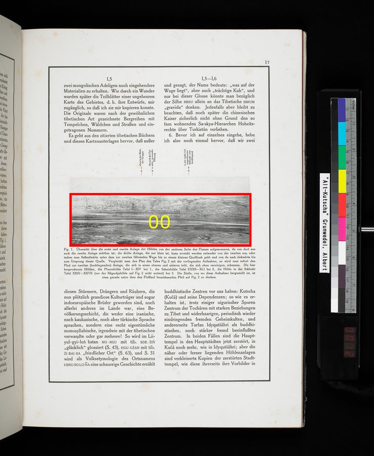
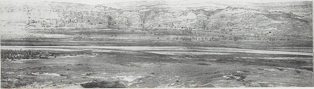
| [Photo] Fig. 1. |
Overview of the first and second constructions of the caves of the other side of the river, from there the second construction is also visible; the third construction, which is very small, can be achieved either from second, or by going river upward under the way to second up to a small source and from there to backwards up to the origin this source. To compare the plan of the valley Fig. 2 with the document at hand, we recognize that the path to the second (high-lying) construction divides into an upper and a lower and above unite again. The caves discussed here, the peacock cave plate I-XIV at 1, the treasure cave plate XXXII XLI at 2, the cave in the ravine plate XXIV XXVII (before the Nâgarâja cave on Fig. 2 does not note) at 3. The place where this document records, is just under the arrow on FIg.2, designating the river course. [1 generally in the center of the group/the opening turning to the mountain stream/3 high-laying ravine not so curved]Übersicht über die erste und zweite Anlage der Höhlen von der anderen Seite des Flusses aufgenommen, da von dort aus auch die zweite Anlage sichtbar ist; die dritte Anlage, die nur klein ist, kann erreicht werden entweder von der zweiten aus, oder indem man flußaufwärts unter dem zur zweiten führenden Wege bis zu einem kleinen Quellbach geht und von da nach rückwärts bis zum Ursprung dieser Quelle. Vergleicht man den Plan des Tales Fig. 2 mit der vorliegenden Aufnahme, so wird man sofort den Pfad zur zweiten (hochliegenden) Anlage, die sich in einen oberen und unteren teilt, die sich oben vereinigen, erkennen. Die hier besprochenen Höhlen, die Pfauenhöhle Tafel I-XIV bei 1, die Schatzhöhle Tafel XXXII-XLI bei 2, die Höhle in der Schlucht Tafel XXIV-XXVII (vor der Nâgarâjahöhle auf Fig. 2 nicht notiert) bei 3. Die Stelle, von wo diese Aufnahme hergestellt ist, ist etwa gerade unter dem den Flußlauf bezeichnenden Pfeil auf FIg. 2 zu denken. [1 etwa in der Mitte der Gruppe / die nach der Talseite gewandte Öffnung / 3 in der nicht tief eingreifenden Schlucht sehr hochliegend]
|