| [Photo] II |
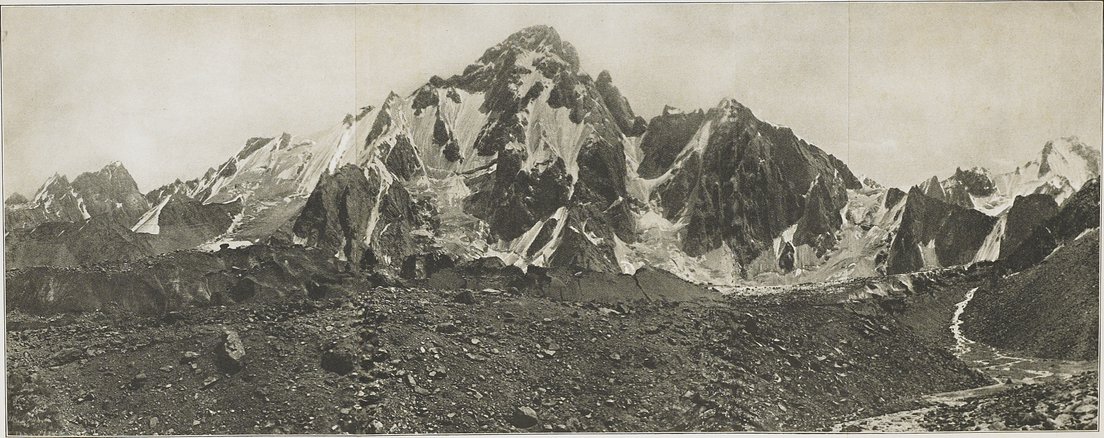
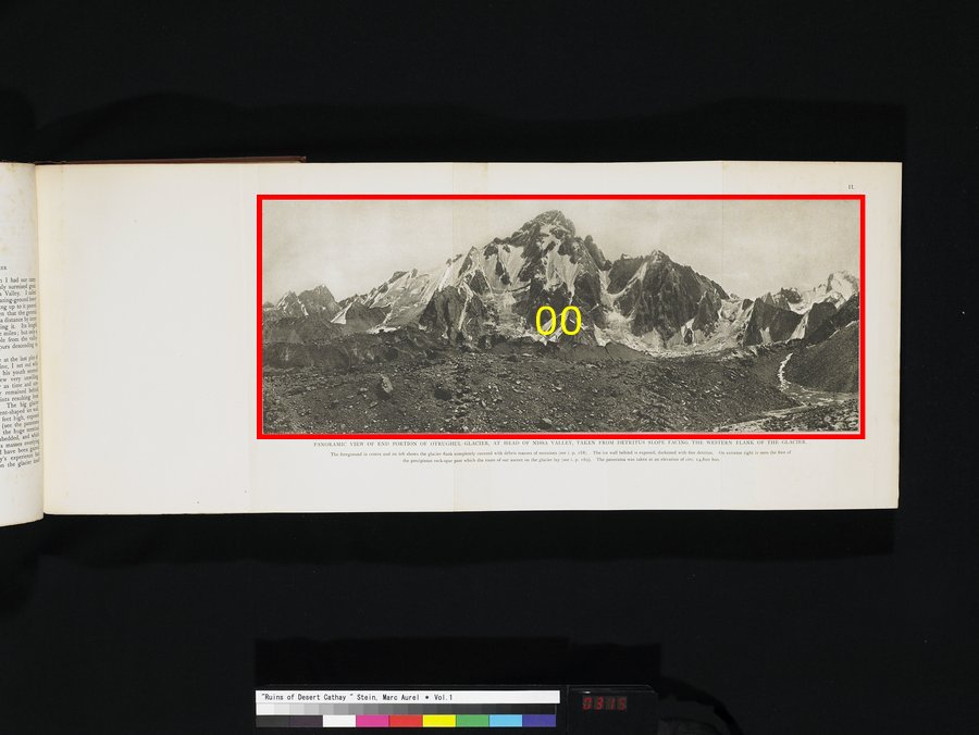
ニサ渓谷にあるオトルグル氷河の末端部のパノラマ.氷河の西側面に面した岩屑の傾斜から写した.中央および左方前方に、氷河の側面が氷成堆積物で完全に覆われているのが見える(i. p. 188参照).後方の氷壁は露わになっているが、堆積物で黒ずんでいる.右端には、我々が以前に氷河地形の登坂ルートとした切り立った岩の山脚(i. p. 189参照)が見える.このパノラマ写真は標高約14、 800フィートから撮られた.PANORAMIC VIEW OF END PORTION OF OTRUGHUL GLACIER, AT HEAD OF NISSA VALLEY, TAKEN FROM DETRITUS SLOPE FACING THE WESTERN FLANK OF THE GLACIER. The foreground in centre and on left shows the glacier flank completely covered with débris masses of moraines (see i. p. 188). The ice wall behind is exposed, darkened with fine detritus. On extreme right is seen the foot of the precipitous rock-spur past which the route of our ascent on the glacier lay (see i. p. 189). The panorama was taken at an elevation of circ. 14,800 feet.
|