National Institute of Informatics - Digital Silk Road Project
| |||||||||
|
| Results of a Scientific Mission to India and High Asia : vol.6 |
| 00 |  |
Search for similar images |
|---|---|---|
| 01 |  |
Search for similar images |
| 02 |  |
Search for similar images |
| 03 | 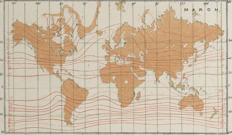 |
Search for similar images |
 |
| Illustrations of the Meteorology of India and High Asia. by Hermann de Schlagintweit -Sakünlünski. I. Temperature of the Air: 2. The Isothermal Lines of the Year ( sea-level), for India and the Archipelago. |
|
Copyright (C) 2003-2019 National Institute of Informatics and The Toyo Bunko. All Rights Reserved.