| [Figure] |
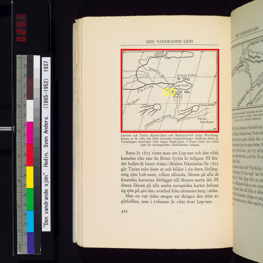
Lop-nor and Tarim, Kontje-daria and Baghrasch-kol, according to the Wu-ch'ang map of 1863 and an even older Chinese description. At the very bottom part of Tarim is the equivalent of today's Kum-daria. The water systems of 1896 have been added in fine lines.Lop-nor och Tarim, Kontje-daria och Baghrasch-köl enligt Wu-ch'ang-kartan av år 1863 och äldre kinesiska framställningar. Nedersta delen av Tarimloppet motsvarar våra dagars Kum-daria. I finare linjer äro också 1896 års hydrografiska förhållanden inlagda.
|