National Institute of Informatics - Digital Silk Road Project
| |||||||||
|
| Explorations in Turkestan : Expedition of 1904 : vol.2 |
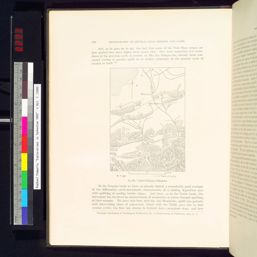 |
| Uptilted Piedmonts of Marghelan. |
2óó PHYSIOGRAPHY OP CENTRAL-ASIAN DESERTS AND OASES.
And, as he goes on to say, the fact that some of the Tian Shan ranges are now gashed into more alpine form means that " they were somewhat less worn-down in the previous cycle of erosion, or, like the Dongus-tau, already more consumed (owing to greater uplift or to weaker structure) in the present cycle of
erosion or both."*
o lo
20 miles
-----Trend of faults
~ Kurgan
Fig. 465.—Uptilted Piedmonts of Marghelan.
In the Fergana basin we have, as already hinted, a remarkably good example of the differential earth-movements characteristic of a sinking deposition area with uplifting of eroding border ranges. And there, as in the Tarim basin, this movement has involved an encroachment of mountains on plains through uptilting of their margins. We have seen how, with the Alai Mountains, uplift was periodic with intervening times of quiescence, which with the Taldic gave rise to four erosion cycles, the first one closing in Central Asia's peneplain stage, and how
*Carnegie Institution of Washington Publication No. 26, Explorations in Turkestan, 1903, p. 73.
|
Copyright (C) 2003-2019 National Institute of Informatics and The Toyo Bunko. All Rights Reserved.