| [Photo] 75 |
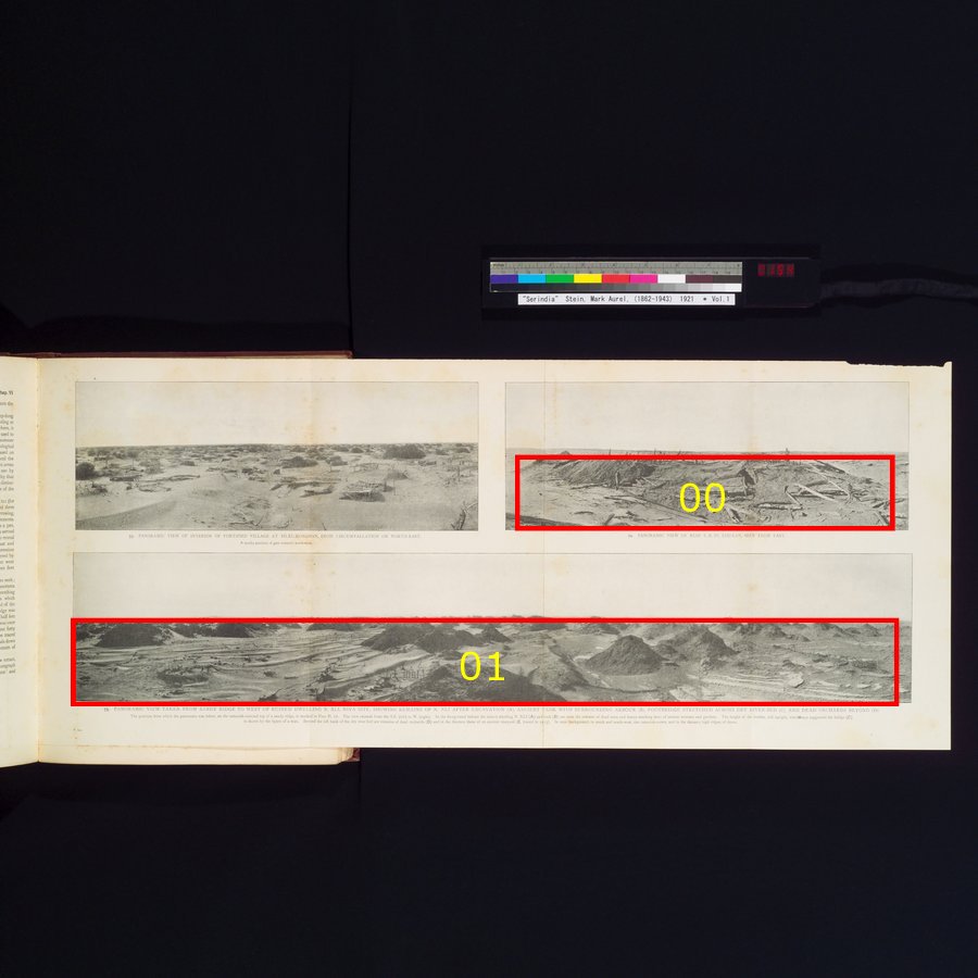
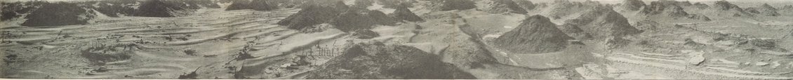
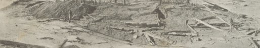
砂の稜線の西にある住居跡N. XLIから撮られた全景、ニヤ遺跡、発掘後のN. XLI遺跡(A)、柵で囲まれた古代の貯水池(B)、干上がった川底に伸びる歩道(C)、奥は枯れた果樹園(D)を示している。全景が撮影された場所は、タマリスクで覆われた砂の稜線の頂上で、Pl. 18平面図で示されている。風景は南東(左)から西(右)に広がっている。手前の住居跡N. XLI(A)と貯水池(B)の向こうには、古代の通りと庭々を示す枯れ木と柵の跡が見える。今もまっすぐ立っている橋脚は、かつては橋を支えていたもので、その高さは男性の姿で示されている。干上がった川底の左岸の向こうは枯れた果樹園の跡(D)で、遠くに古代のブドウ園(E、1913年に調査された)がある。すぐ奥では、南から南西にかけて、タマリスクの山がそびえ立っており、遠くには砂丘の高い稜線が見えるPANORAMIC VIEW TAKEN FROM SANDY RIDGE TO WEST OF RUINED DWELLING N. XLI, NIYA SITE, SHOWING REMAINS OF N. XLI AFTER EXCAVATION (A), ANCIENT TANK WITH SURROUNDING ARBOUR (B), FOOTBRIDGE STRETCHED ACROSS DRY RIVER-BED (C), AND DEAD ORCHARDS BEYOND (D). The position from which the panorama was taken, on the tamarisk-covered top of a sandy ridge, is marked in Plan Pl. 18. The view extends from the S. E. (left) to W. (right). In the foreground behind the ruined dwelling N. XLI (A) and tank (B) are seen the remains of dead trees and fences marking lines of ancient avenues and gardens. The height of the trestles, still upright, which once suported the bridge (C) is shown by the figure of a man. Beyond the left bank of the dry river-bed are remains of dead orchards (D) and in the distance those of an ancient vineyard (E, traced in 1913). In near background, to south and south-west, rise tamarisk-cones, and in the distance high ridges of dunes.
|