 IIIF Color HighRes
National Institute of Informatics - Digital Silk Road Project
| |||||||||
|
| IIIF Color HighRes |
| Ancient Khotan : vol.2 |
 |
 |
 |
 |
 |
 |
|
|
 |
|
|
|
|
|
|
|
|
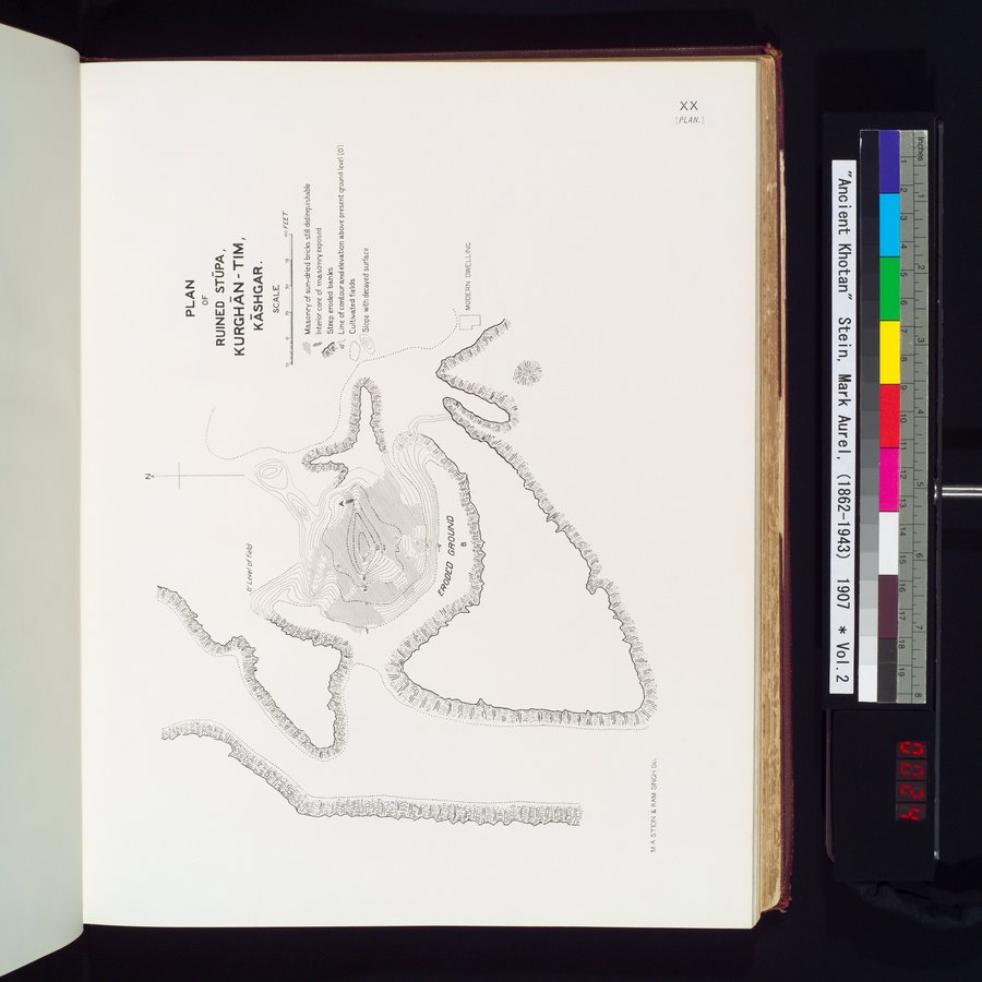
| PLAN OF RUINED STŪPA, KURGHĀN-TIM, KĀSHGAR. |
Citation Information
fvl.A STEIN & RAM SINGH DEL
PLAN
OF
RUINED STOPA,
KURGHAN -TIM,
KASHGAR .
SCALE
u xs 50 $ !?o FEET
//, Masonry of sun-dried bricks still distinguishable
Interior core of masonry exposed
Steep eroded banks
w'\t. Line of contour and elevation above present ground level (0'1
1Ε •• Cultivated fields
.~~ 62 Slope with decayed surface
J40+.
i-ll!k
) i\\ j j\\
' fi♦~~~1%~_~~.~y~~
'~:...I~. ,
MODERN DWELLING
,.~
~ ~
%.~ -,
I n^•;
..
.•o'Le✓e/of fié/o'
|
|
|
|
|
|
|
|
|
Copyright (C) 2003-2019 National Institute of Informatics and The Toyo Bunko. All Rights Reserved.