国立情報学研究所 - ディジタル・シルクロード・プロジェクト
| |||||||||
|
| Scientific Results of a Journey in Central Asia, 1899-1902 : vol.4 | |
| 1899-1902年の中央アジア旅行における科学的成果 : vol.4 |
 |
THE EASTERN PANGGONG-TSO. 325
ål~
1
I
2
Fig.
4
~
~
tt
~
r$,
the outcrop heads of the broken strata and levelling up with flat pieces of slab (see fig. 239). It runs at least to m. above the existing level of the lake, and was used at a period when the lake advanced quite up to the base of the rocky wall. After the lake retreated from a to b, the gravelly scree carne into view, and there was no longer any need to have recourse to the road above. Generally in proportion as the lake drops so does its shore become increasingly more favourable for marching on. Formerly the difficult rocky headlands were more in number than they
are now.
Fig. 24o gives a schematic idea of how such a bay as that at Gar is constructed, and this may also serve as a ground-plan for most of the other bays that we came across. From a summit in the nearest main range two spurs run down at right angles to the shore, where they terminate in bold headlands. From each of these spurs a number of minor offsets jut out, more or less at right angles, and arranged
like teeth in such a way that each »tooth» is
backed on the opposite side of the spur by the space that intervenes between two other
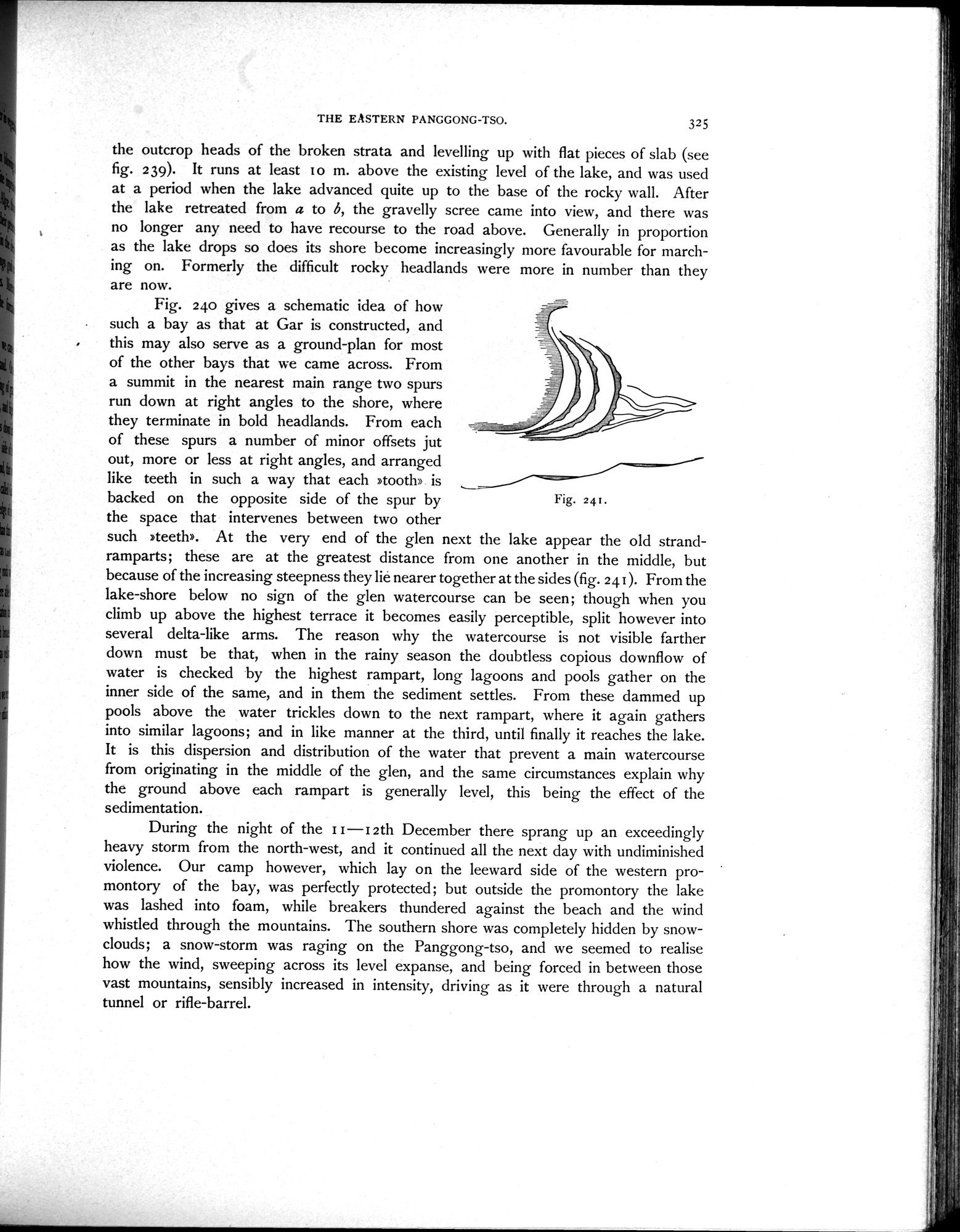
such »teeth». At the very end of the glen next the lake appear the old strand-ramparts; these are at the greatest distance from one another in the middle, but because of the increasing steepness they lie nearer together at the sides (fig. 241). From the lake-shore below no sign of the glen watercourse can be seen; though when you climb up above the highest terrace it becomes easily perceptible, split however into several delta-like arms. The reason why the watercourse is not visible farther down must be that, when in the rainy season the doubtless copious downflow of water is checked by the highest rampart, long lagoons and pools gather on the inner side of the same, and in them the sediment settles. From these dammed up pools above the water trickles down to the next rampart, where it again gathers into similar lagoons; and in like manner at the third, until finally it reaches the lake. It is this dispersion and distribution of the water that prevent a main watercourse from originating in the middle of the glen, and the same circumstances explain why the ground above each rampart is generally level, this being the effect of the sedimentation.
During the night of the i t — t 2th December there sprang up an exceedingly heavy storm from the north-west, and it continued all the next day with undiminished violence. Our camp however, which lay on the leeward side of the western promontory of the bay, was perfectly protected; but outside the promontory the lake was lashed into foam, while breakers thundered against the beach and the wind whistled through the mountains. The southern shore was completely hidden by snow-clouds; a snow-storm was raging on the Panggong-tso, and we seemed to realise how the wind, sweeping across its level expanse, and being forced in between those vast mountains, sensibly increased in intensity, driving as it were through a natural tunnel or rifle-barrel.
T
|
Copyright (C) 2003-2019
National Institute of Informatics(国立情報学研究所)
and
The Toyo Bunko(東洋文庫). All Rights Reserved.
本ウェブサイトに掲載するデジタル文化資源の無断転載は固くお断りいたします。