国立情報学研究所 - ディジタル・シルクロード・プロジェクト
| |||||||||
|
| Scientific Results of a Journey in Central Asia, 1899-1902 : vol.4 | |
| 1899-1902年の中央アジア旅行における科学的成果 : vol.4 |
 |
408
FROM LADAK TO EAST TURKESTAN.
During the course of our march on the i 9th April the peripheral character of the scenery abated and we ascended noticeably higher towards the immense backbone ' of • the Tibetan highlands. Nevertheless the ascent is extremely gentle, and where the streams flow above-ground they nowhere give rise to rapids. The track is as good as could be expected in a glen • filled with detritus. The breadth of the glen still remained the same; side-glens were frequent, and often of considerable size. At first we marched towards the west-south-west, then towards the northwest. We passed ice-sheets pretty often, but running water was scarce. From the neighbourhood of a small detached hill on the left side of the glen we observed the outlet of a vast side-glen bearing S. 53° W. The snow was fast diminishing in
t
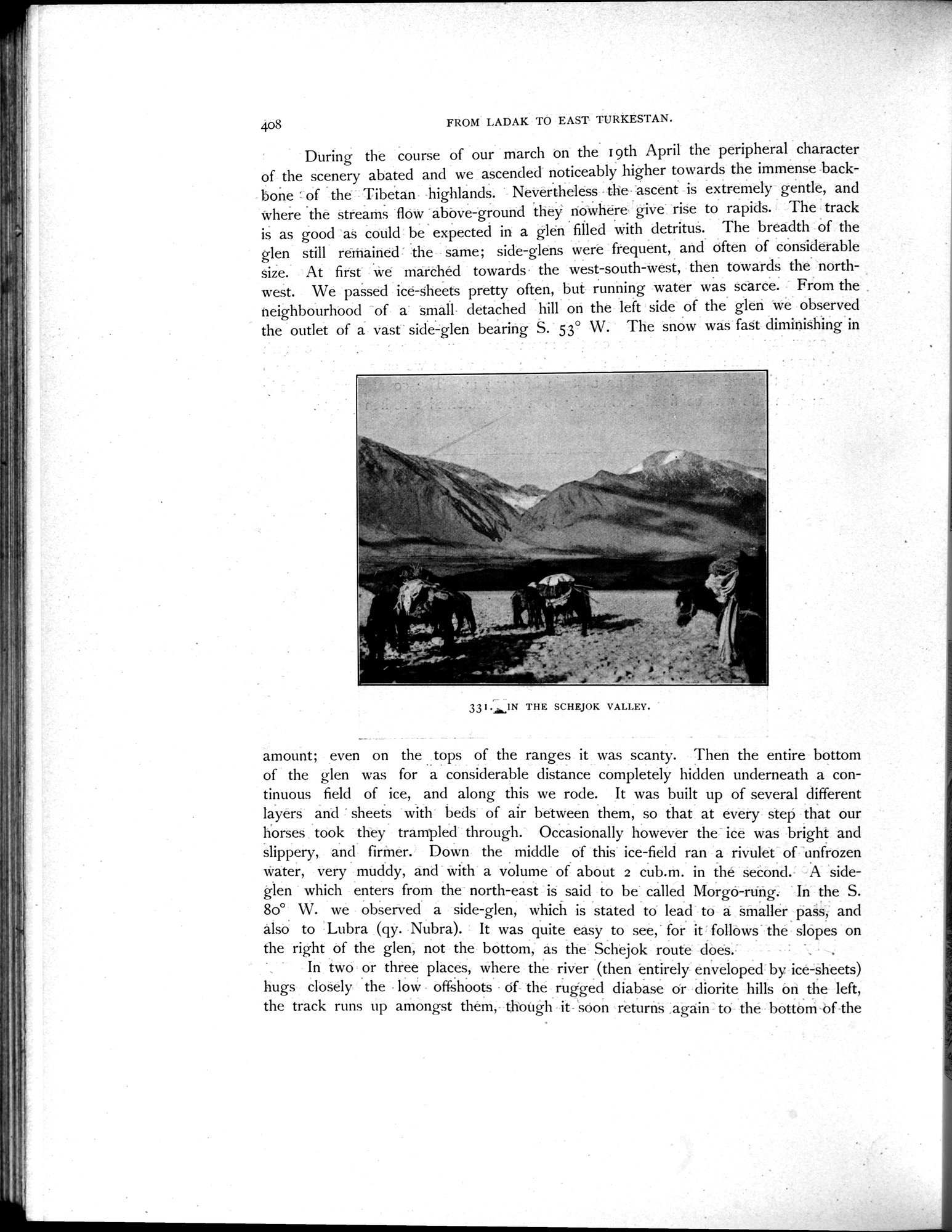
33 I .IN THE SCHEJOK VALLEY.
amount; even on the tops of the ranges it was scanty. Then the entire bottom•of the glen was for a considerable distance completely hidden underneath a continuous field of ice, and along this we rode. It was built up of several different layers and " sheets with beds of air between them, so that at every step that our horses took they trampled through. Occasionally however the ice was bright and slippery, and firmer. Down the middle of this ice-field ran a rivulet of unfrozen water, very muddy, and with a volume of about 2 cub.m. in the second. A side-glen which enters from the north-east is said to be called Morgo-rung. In the S. 80° W. we observed a side-glen, which is stated to lead to a smaller pass, and also to Lubra (qy. Nubra). It was quite easy to see, for it follows the slopes on
the right of the glen, not the bottom, as the Schejok route does. . .
In two or three places, where the river (then entirely enveloped by ice-sheets) hugs closely the low offshoots of the rugged diabase or diorite hills on the left, the track runs up amongst them, though it- soon returns .again to the bottom of the
|
Copyright (C) 2003-2019
National Institute of Informatics(国立情報学研究所)
and
The Toyo Bunko(東洋文庫). All Rights Reserved.
本ウェブサイトに掲載するデジタル文化資源の無断転載は固くお断りいたします。