National Institute of Informatics - Digital Silk Road Project
| |||||||||
|
| Southern Tibet : vol.2 |
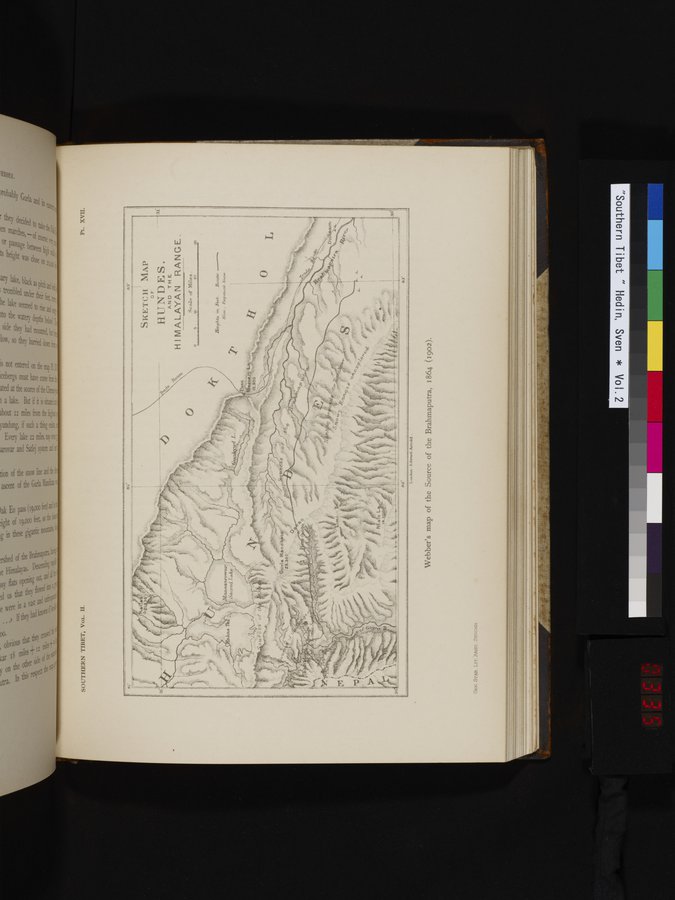 |
PL. XVII.
SOUTHERN TIBET, VOL. II.
.~ .. -...- •-...-~..11111..
+s-so►wcrp mr-wesenr.-..eres
,., Ow- --w a......+aw w
11e2yhte Tn Fe.rt.. R4,14t6,
BGso _ Perpetual Snow.
~.~eÎ` làlliA.9f1IY)wa7' Sacred T,ake
Kl'
82-
83'
SKETCH MAP
OF
HUNDES.
AND TH E.
H 1 MALAYAN RANGE.
Scale of Miles .
o o
18,2
-•....
30 :_-a<- ' ~ _. ___. ~ r ir-+tr- S.
82'
3Ô
t13'
L
31
I.•.n,ton Frl..ncd Arnold .
Webber's map of the Source of the Brahmaputra, 1864 (1902).
GEO. STAB. LIT. ANS'I'.
|
Copyright (C) 2003-2019 National Institute of Informatics and The Toyo Bunko. All Rights Reserved.