National Institute of Informatics - Digital Silk Road Project
| |||||||||
|
| Southern Tibet : vol.4 |
 |
208 A NEW CROSSING OF THE KARA-KORUM SYSTEM.
springs, simply called Bulak. Here, Camp CCLXXXII, the height is 4,544 m. Simultaneously with our arrival, there came a caravan from Yarkand. The cold was intense. The last night it was —31.4°. Twenty dead ponies were counted around the springs.
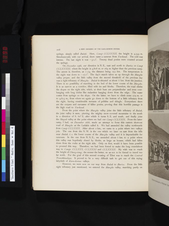
On December 19th, our direction is N. E., east and north to Burtse or Camp CCLXXXIII, where the height is 4,808 m. or 2 64 m. higher than the previous camp.
The ascent is, therefore, as i : 74, the distance being 19.5 km. The temperature in the night was down to —27.7°. The day's march takes us up through the Murg-ho valley proper, and the little valley from the second threshold of the previous day was a right tributary of Murgho. Bulak is situated at about 1 km. from the junction. There is no possibility of marching in the bed of the lower course of the Murgho. It is as narrow as a corridor, filled with ice and blocks. Therefore, the road climbs the slopes on the right side, which, at their base are perpendicular and even overhanging with long icicles like stalactites hanging down from the edge. The water comes from springs on the slope. On the latter, we have to climb some 279 m. or to 4,823 m., from where we again go down to the bottom of a little tributary from the right, having considerable terraces of pebbles and shingle. Everywhere there are the corpses and carcasses of fallen ponies, proving that this horrible passage is the high road to Yarkand.
From the point where the Murgho valley joins the little tributary of Bulak,
the joint valley is seen, piercing the mighty snow-covered mountains to the south in a direction of S. 6o° E. after which it turns S. E. and south , and finally joins the Shayok valley at the point where we had our Camp CCLXXIX. From the latter camp, I had , on December 16th , made an attempt to force this eastern short-cut road of Murgho as the Ladakis called it. We had ascended the valley northwards
from Camp CCLXXIX. After about 2 km., we came to a point where two valleys join. The one from the N. W. is the one which we later on saw from the hills near Bulak, i. e. the lower course of the Murgho valley and it is impracticable for caravans. In the one from N. N. E. , we ascended about 1 km. to a point where this valley was hopelessly closed by blocks, as large as houses, which had fallen down from the rocks at the right side. Only on foot, would it have been possible to proceed this way. Therefore, we had been forced to make the long roundabout
way to Camps CCLXXX, CCLXXXI and CCLXXXII. My wish was to reach the height of Chang-tang, the sooner the better, so as not to be forced to travel too far north. For the goal of this second crossing of Tibet was to reach the Central Transhimalaya. It proved to be a very difficult task to get out of this trying labyrinth of Kara-korum valleys.
However, we were now on our way from Bulak to Burtse. From the little right tributary just mentioned, we entered the Murgho valley, marching partly on
|
Copyright (C) 2003-2019 National Institute of Informatics and The Toyo Bunko. All Rights Reserved.