National Institute of Informatics - Digital Silk Road Project
| |||||||||
|
| Sand-Buried Ruins of Khotan : vol.1 |
 |
62 ON THE TAGHDUMBASH PAMIR [CHAP. IV.
was clearly marked by the divergent direction of the small streams which drained the melting snow; and the hypsometer, which I boiled on a boulder-strewn patch of dry ground close by, gave the height as close on 16,200 feet.
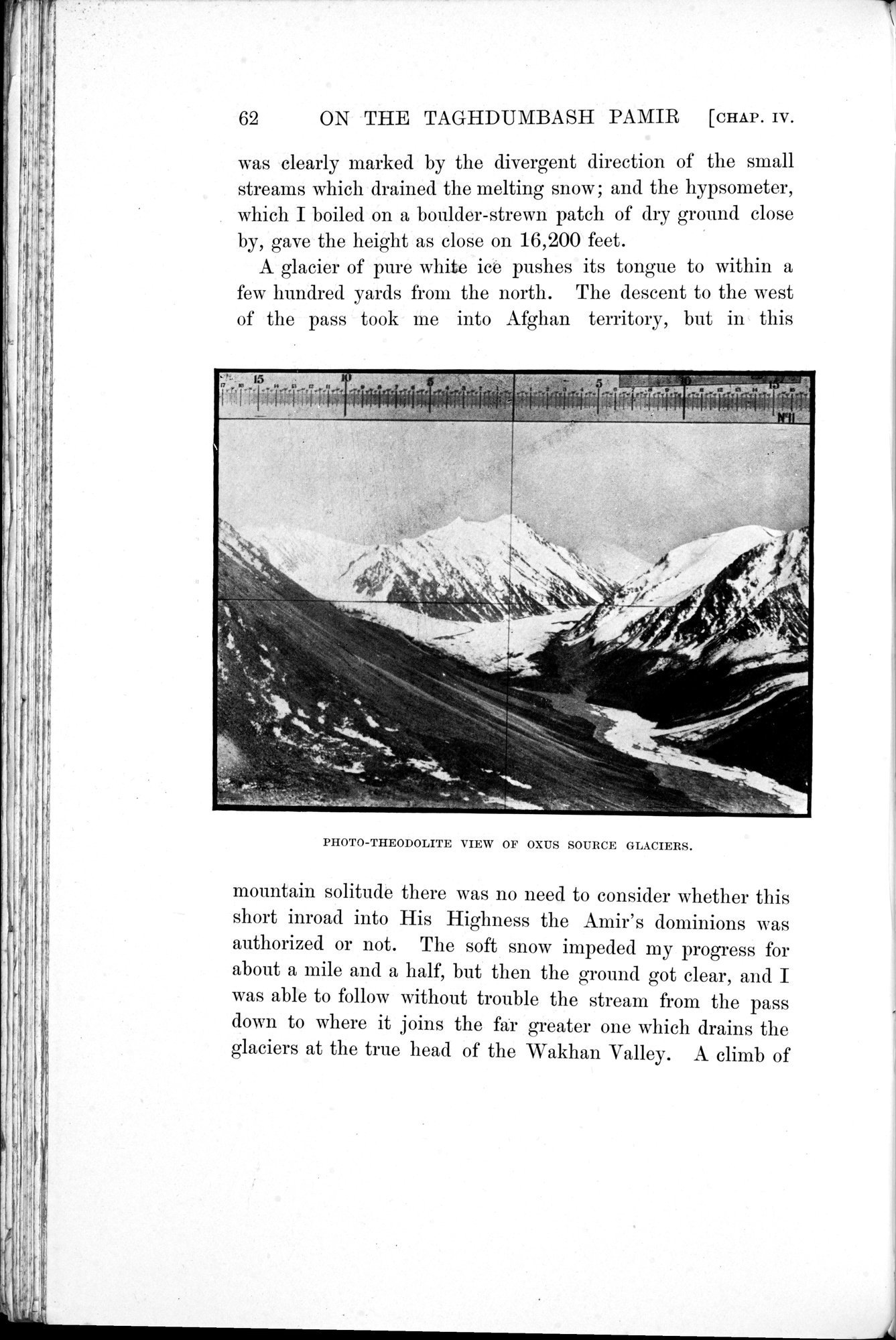
A glacier of pure white ice pushes its tongue to within a few hundred yards from the north. The descent to the west of the pass took me into Afghan territory, but in this
PHOTO-THEODOLITE VIEW OF OXUS SOURCE GLACIERS.
mountain solitude there was no need to consider whether this short inroad into His Highness the Amir's dominions was authorized or not. The soft snow impeded my progress for about a mile and a half, but then the ground got clear, and I was able to follow without trouble the stream from the pass down to where it joins the far greater one which drains the glaciers at the true head of the Wakhan Valley. A climb of
|
Copyright (C) 2003-2019 National Institute of Informatics and The Toyo Bunko. All Rights Reserved.