National Institute of Informatics - Digital Silk Road Project
| |||||||||
|
| Ancient Khotan : vol.2 |
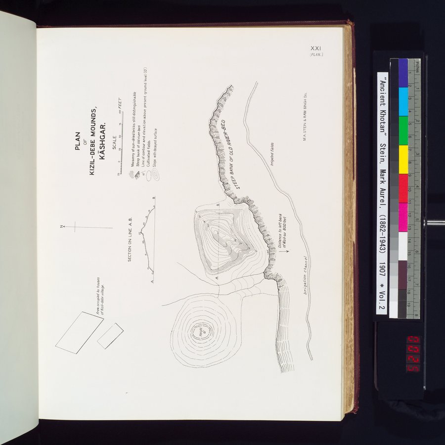 |
| PLAN OF KIZIL-DEBE MOUNDS, KĀSHGAR. |
M.A.STEIN & RAM SINGH DEL.
/rri ga tion charm
Distance to /eft bank of/6zil-su 800 feet
1
Masonry of sun-dried bricks still distinguishable Steep bank of old river-bed
Line of contour and elevation above present ground level (0') Cultivated fields
SECTION ON LINE A.B.
,(:)1) Slope with decayed surface
A
y,.u.✓i'
~•. ; ;
j'pï.. ~-. BÏ A~N ' KJ •
O`F,ï ~OL
TE
S
;~;~%~
~~_,
i,
-►1.
. =, .
Irrigated fields
.•";
io.
N
Area occupied by houses oflfizi/-debe vi//age.
PLAN
OF
KIZIL-DEBE MOUNDS,
KASHGAR.
SCALE
250 25 50 n 100 FEET
|
Copyright (C) 2003-2019 National Institute of Informatics and The Toyo Bunko. All Rights Reserved.